Owl’s Head– via Black Pond “bushwhack,” up the slide and down Brutus bushwhack
Owl’s Head is number 43/48 of the 4,000 footers in the white mountains of NH. It’s not a favorite of many; I can’t think of a single person. But, for those working on a list, ya gotta do it. Here’s one option that saves miles and water crossings.
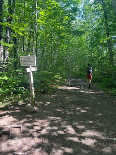
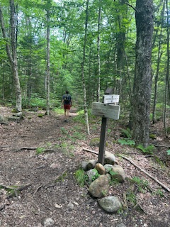
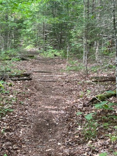
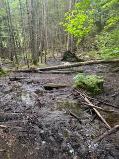
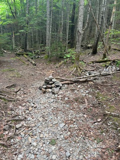
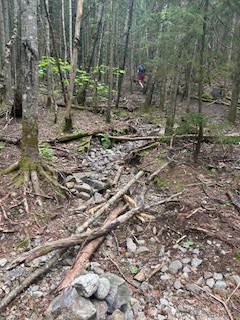
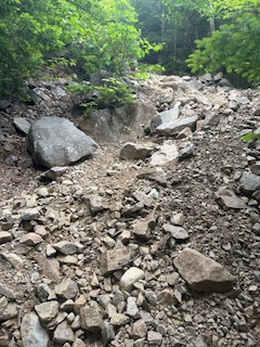
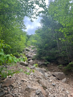
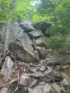
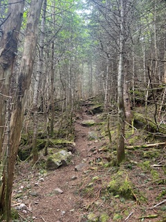
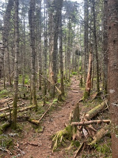
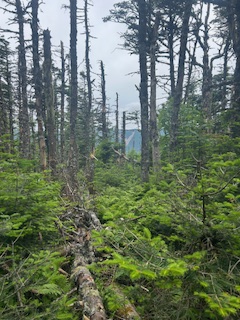
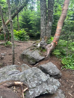
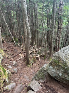
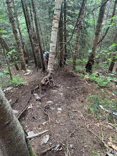
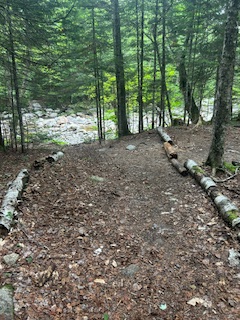
This is the junction with the Osseo trail, 1.4 miles after you start on the Lincoln Woods trail. If you want to do the Franconia Ridge Traverse, you would either start here or at Skookumchuck at the other end.1.2 miles later, we take a left toward Black Pond.This is a beautifully gentle and well-marked trail. Back in the day a track was laid down for logging. There’s still evidence of railroad ties.At Black Pond, looking toward the Owl’s Head.Looking towards the Bonds.Continue on. Once you pass this mud pit (it’s pretty much always like this), take a right and follow the well-worn trail if you want easy going. If you go straight, you will have more elevation change, will be following pink/orange tags tied to tree trunks until you lose them, and then it will be a true bushwhack. It should look similar to this the entire way to the junction with the actual trail.You are pretty much walking and not really hiking to get to the cairn for the slide up to Owl’s Head. Take a right here.Slowly starting to climb.The slide is a mix of talus and scree, and the rocks shift. Step with care and leave space.Getting closer to the area where it opens up a bit.A view of the Lincoln slide from the Owl’s Head slide. You don’t get many views on this trail, so enjoy it!John posing. I wish this picture gave the slide justice.There are scrambles, some of which are wet.We’ve hiked this slide when there have been small cairns showing the way. Often there are not, which was the case on this day. I’ve heard that Forest Service personnel will disassemble them because it’s not technically a trail. Back in the trees, still very steep.More of the same.Leveling out a bit.On the ridge. There’s still more to go, but it’s pretty much level.Another view of the Lincoln slide on the ridge to the summit.There’s actually a cairn here today.Heading back down the same way we came.Straight for the Brutus bushwhack, a right after this boulder for the slide.We opted to descend the Brutus bushwhack because we prefer to go up shifting talus and scree and not down.It’s a steep descent, and you’ll feel it in those knees. Once it levels out and comes to a trickle-of-water spot, go right. It was weird because you’re like, “why are we walking through water when it’s dry straight ahead?” I don’t know, but you do. There was a small cairn here today, but it’s not guaranteed to be there if and when you hike this.We’re coming out of the bushwhack here; take a left to go back the way you came. A water crossing is a short distance after you get on the main trail. (The logs will probably be removed at some point.)Now you have to decide whether you want to do the Black Pond “bushwhack” again, or continue on the actual trail. If you go straight, you have a couple of significant water crossings. For the bushwhack, take a right.Back on the actual Black Pond trail.Back on the Lincoln Woods trail. More rotting railroad ties and logging history.The bridge over the East Branch of the Pemigewasset River. It took us 6.5 hours to go 16.4 miles with 3,200′ of elevation gain.