NE 100 Highest #83
Thursday, August 11, 2022
There was some confusion in how to get to this mountain (much like getting to Snow Cupsuptic yesterday – seems to be a theme with the mountains in the area!). Google Maps had us go up Route 27 in Maine and cross the border into Canada at Coburn Gore (passport, vaccination proof, and pre-register at Arrive Canada App). We then took 161 into Woburn and then 212 west to Rang Tout De Jolie. At this point instructions told us to go past the entrance to Mont Gosford Park and continue south, but the road was gated and private property. So we went back to the park and paid our $20 entrance fee (only about $15 American).
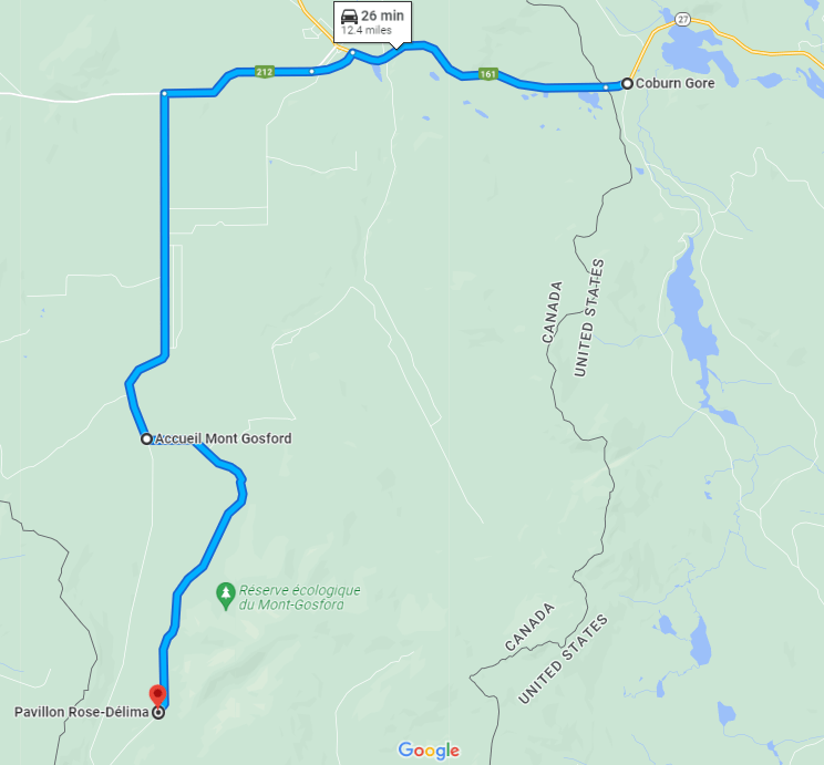
The woman who helped us at Mont Gosford Park was amazing; thank goodness she could speak English. She mentioned that the road would get bad and would be more appropriate for ATVs, and I thought she meant after the last parking lot. I was wrong; we could have kept driving down the road. Eventually the road becomes horrible, but we added a lot of miles to our hike parking where we did.
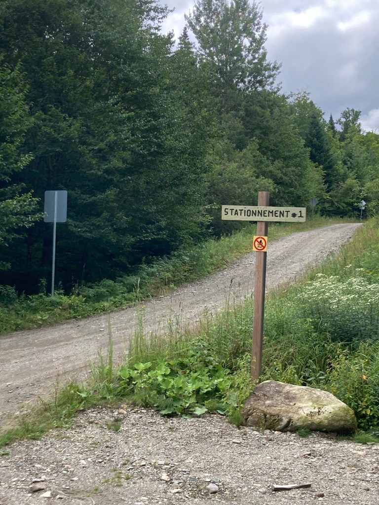
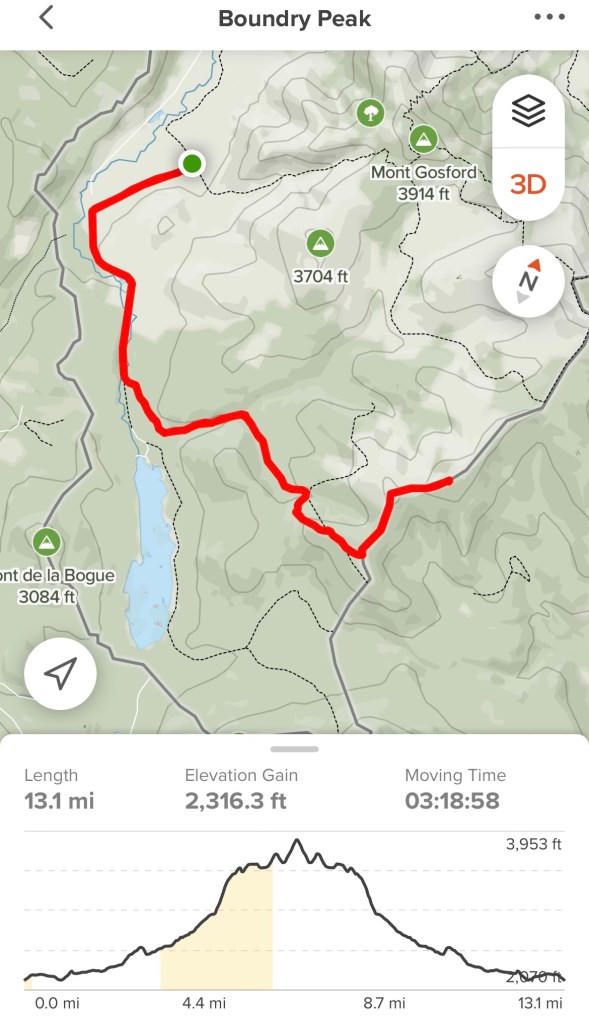
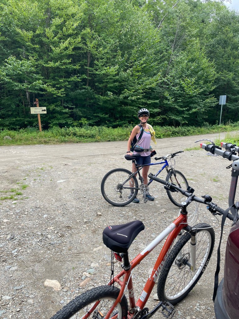
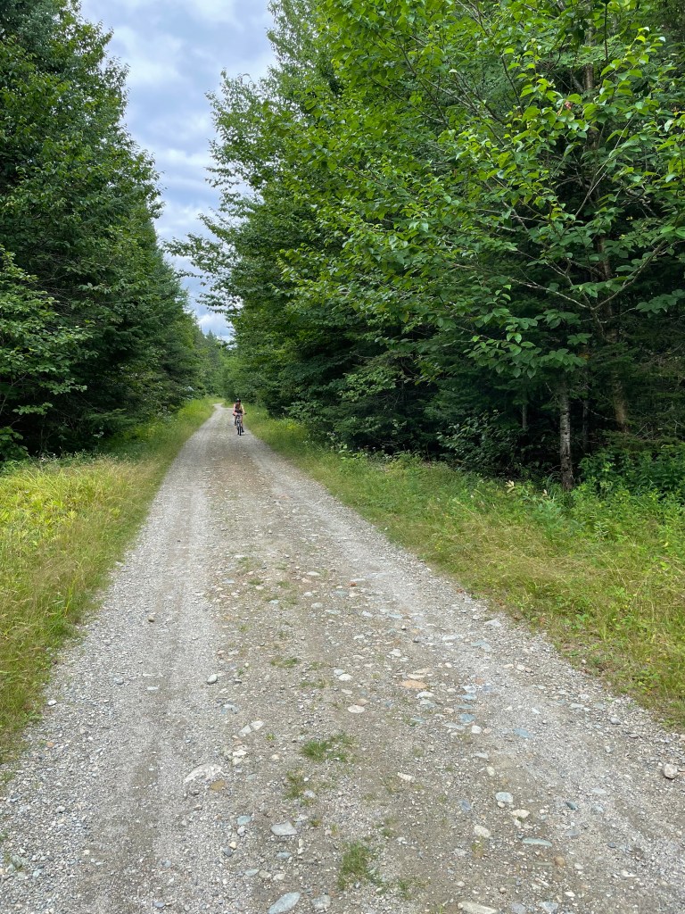
Another opportunity to use our bikes. It was about 3.5 miles from where we started biking to where we started walking. This was all road we could have easily driven down. Oh well…
We locked up the bikes and started walking on level grade. We passed by multiple places to camp, ending at an area that opened up with a dirt embankment, an ATV trailer and a camper.
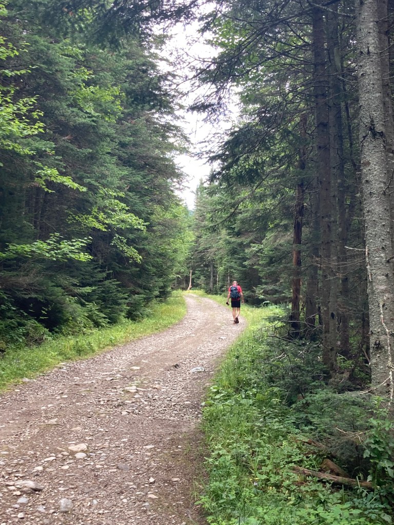
There was a little more level walking until we had to circumnavigate a muddy area. Soon after this the ATV road got steep. (At least it was a road and not a sea of wet foliage (see Snow-Cupsuptic and Whitecap/Kennebago Divide.)
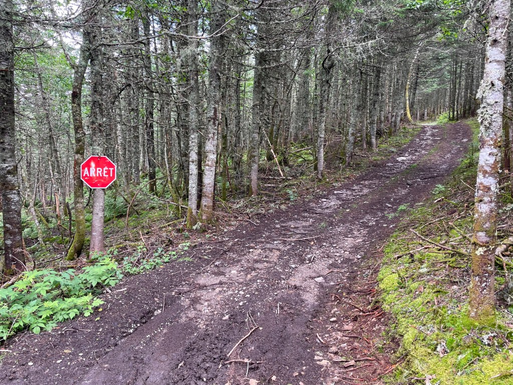
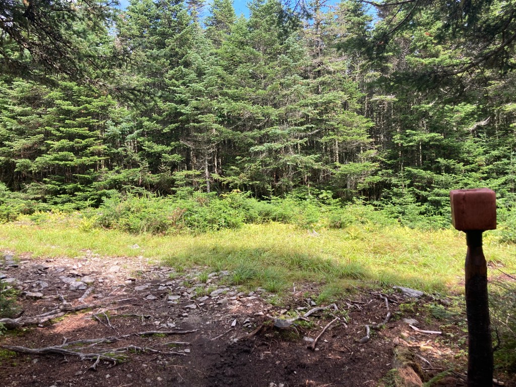
The wooded roadway ended at a junction with a grassy old logging road, marked by a block on a post (I assume this is a salt block for deer?). There were a number of these blocks lining the woods, in addition to deer blinds and treestands.
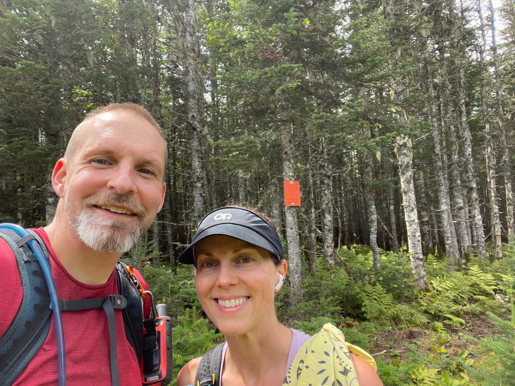
We saw an orange sign on a tree and kind of assumed that we had made it. But it didn’t add up, so John checked the GPS and we, in fact, had NOT made it. Imagine if we had just turned around, hiked down, biked out and then discovered this. I don’t even want to think about it…

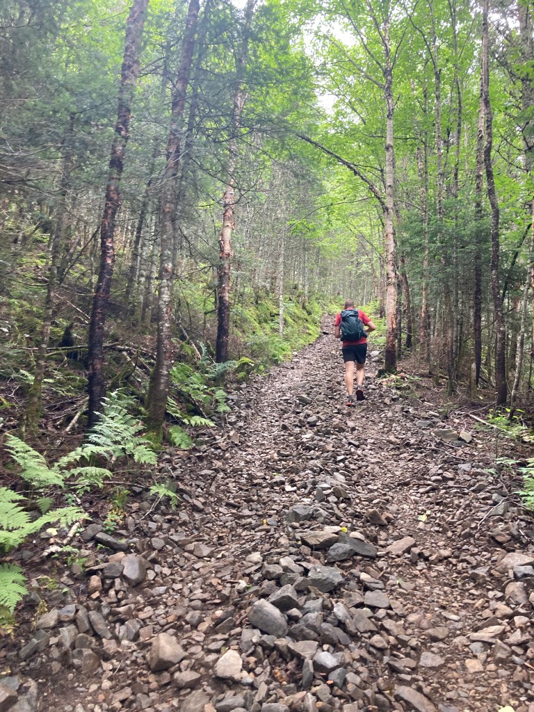
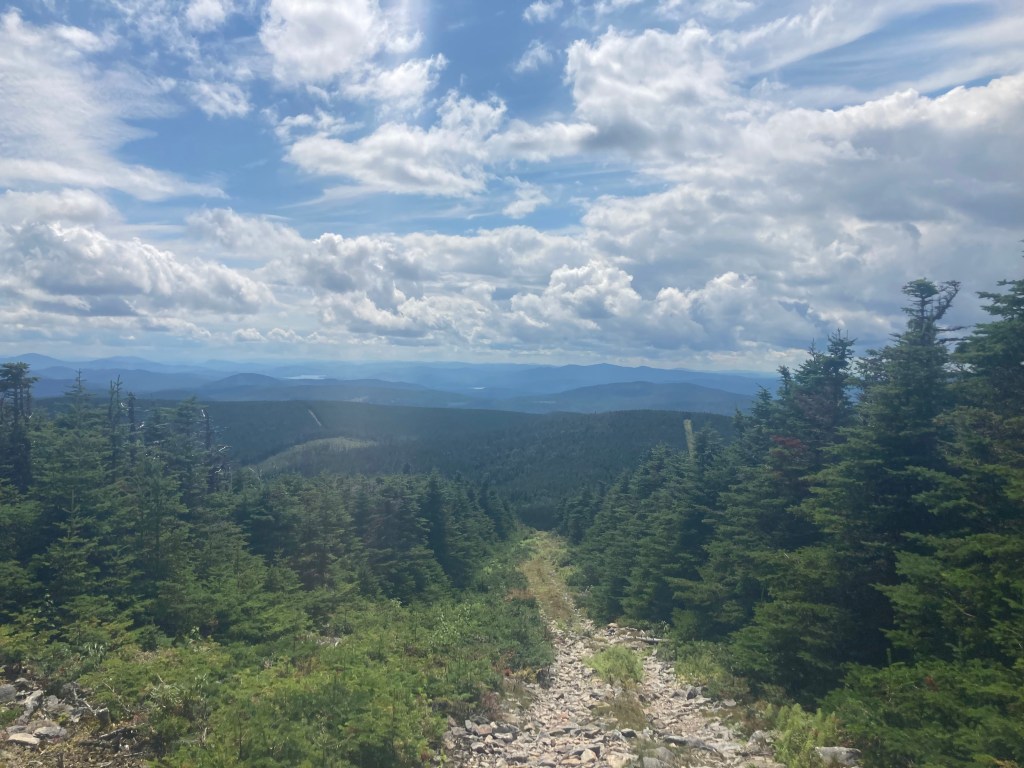
There was more elevation to gain, but it was moderate with mostly good footing, though there was some small talus as we neared the summit of Boundary Peak.


The sky looked ominous by the time we started back the way we came, but nothing came of it. The return trip to our bikes was quick and uneventful, and the bike ride back to the car was fun and shaved off so much time.
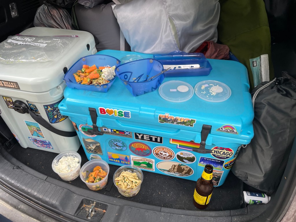
I was especially happy to reach the car because we had bought three different salads from Classic Provisions in Rangeley, Maine before heading to Canada; it was a welcome break from the same ‘ol energy bars. We were feeling really good about all that we had accomplished in the last couple of days. Boundary Peak was our #99 out of the New England 100 Highest, the only list of mountains recognized by the Appalachian Mountain Club’s Four Thousand Footer Committee that included true bushwhacks. We would be finishing on Baldpate, and the forecast looked perfect.
Other posts you might like:
- Snow Mountain – Cupsuptic
- Whitecap & Kennebago Divide
- Khatadin
- Six Husbands & Sphinx
- Middle Teton
- Arrow Slide & the Hancocks
