Saturday, August 1, 2026
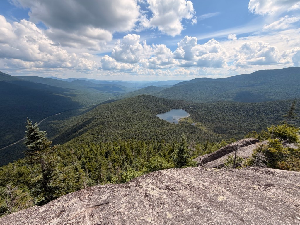
John and I are ticking off 4,000-footers for our second GRID. Since I don’t need any for August, it was his choice. He decided on North and South Kinsman and Cannon by going over the Cannonballs. We easily got a spot in the southbound parking lot for the Basin at 8:45AM; later in the day it will be swamped by tourists.

Two of my favorite trails in all of the White Mountain National Forest are the Basin Cascade and Kinsman Pond trails. For miles you are walking along Cascade Brook and are treated with cascades and waterfalls.
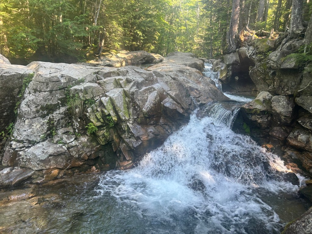
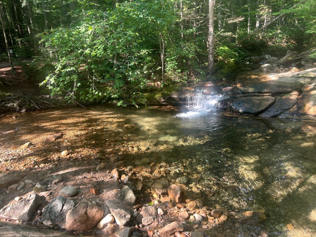
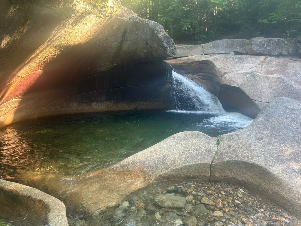
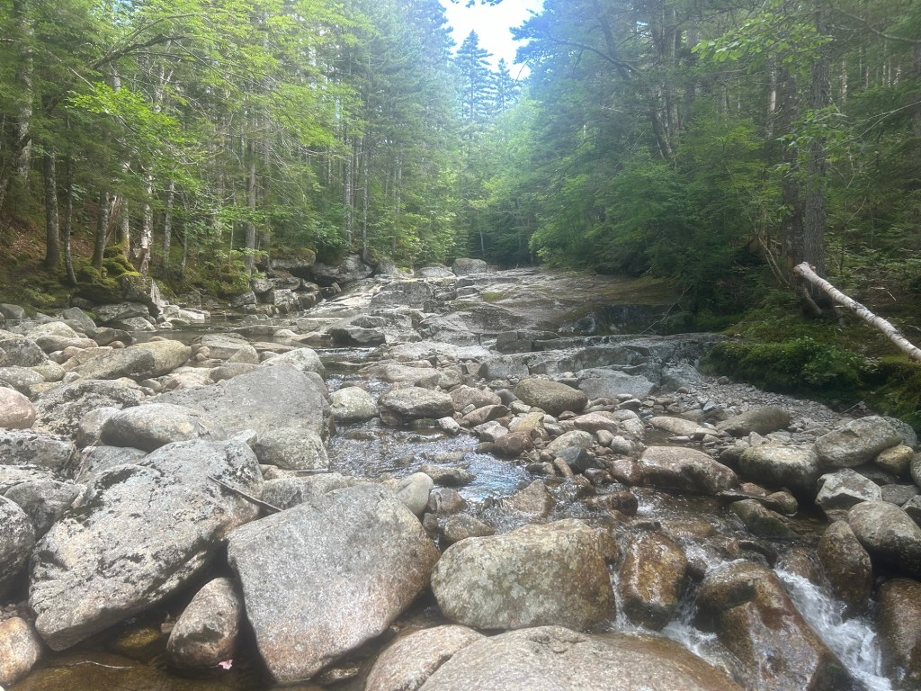
We’ve hiked this trail so many times that we had to change it up to make it more interesting. Instead of following the actual trail in the woods, we walked up the brook as far as we could. We agreed that rock hopping this section was our favorite part of the day.
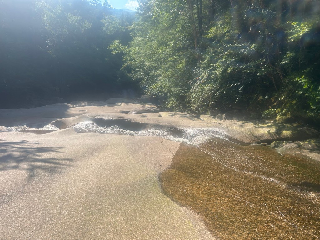

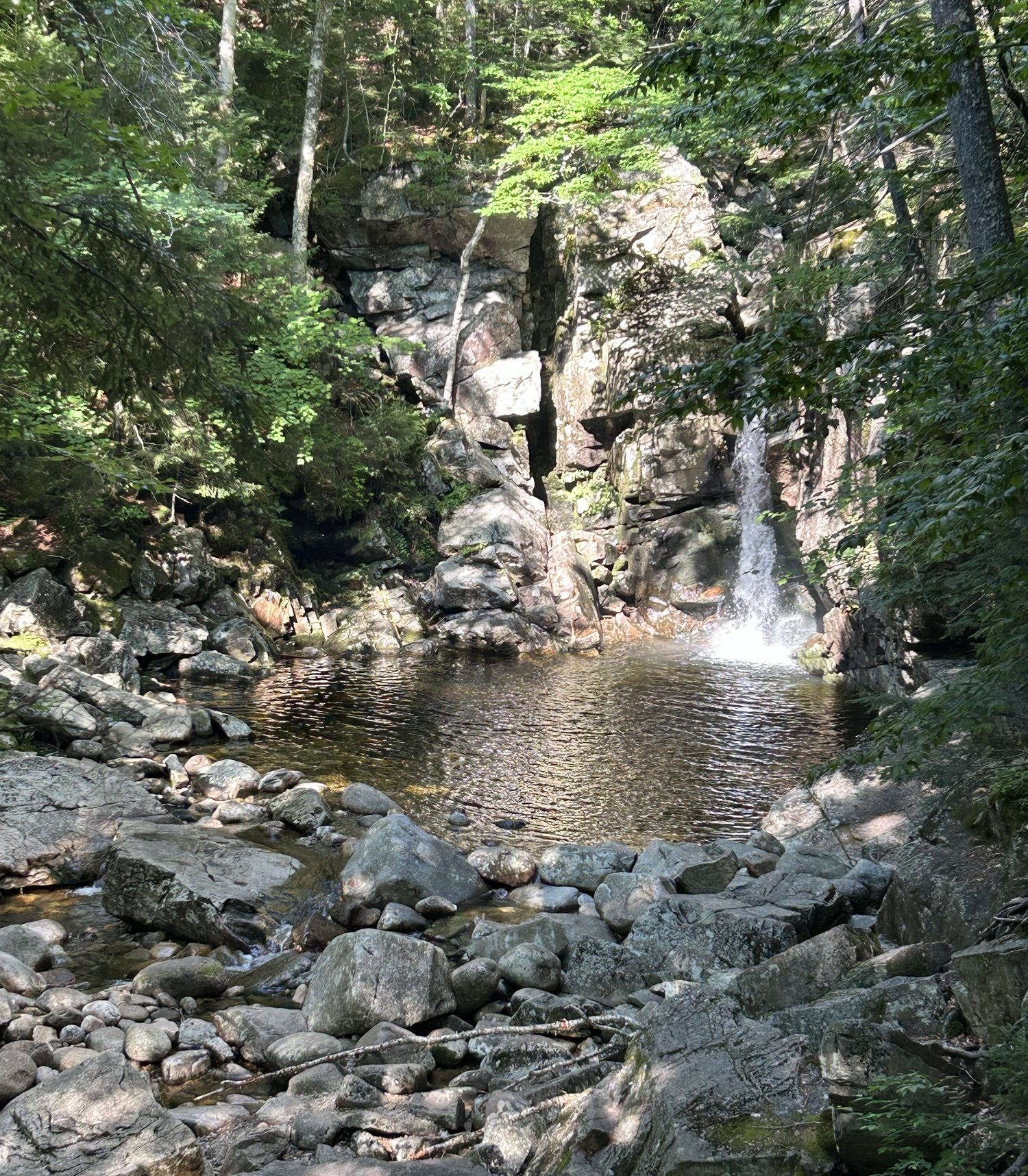
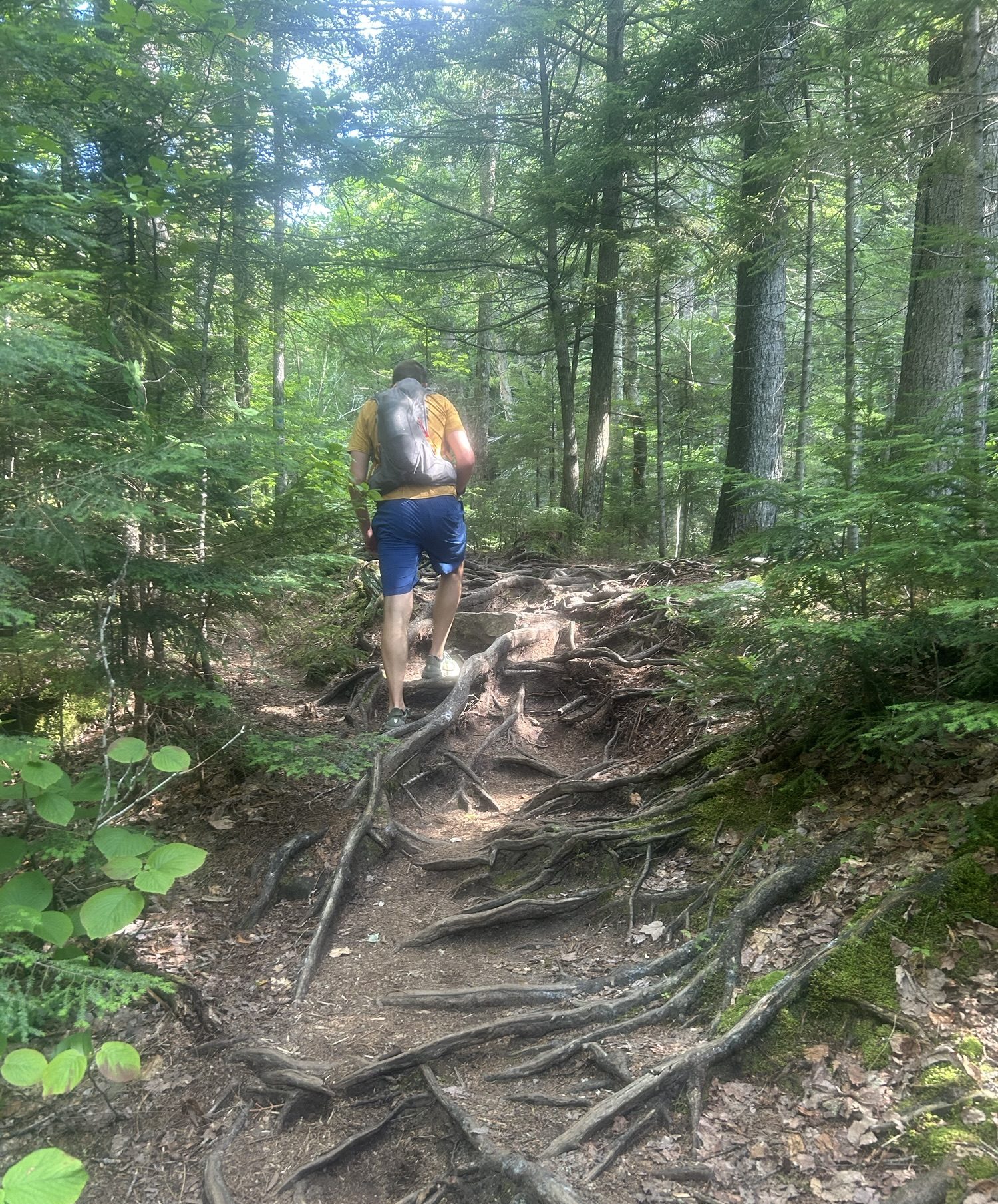
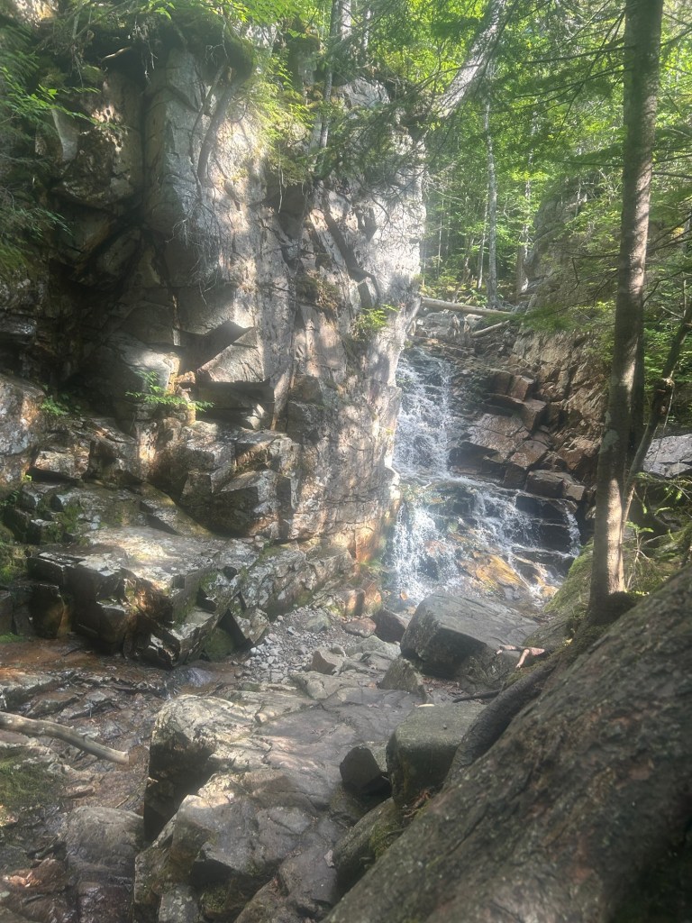
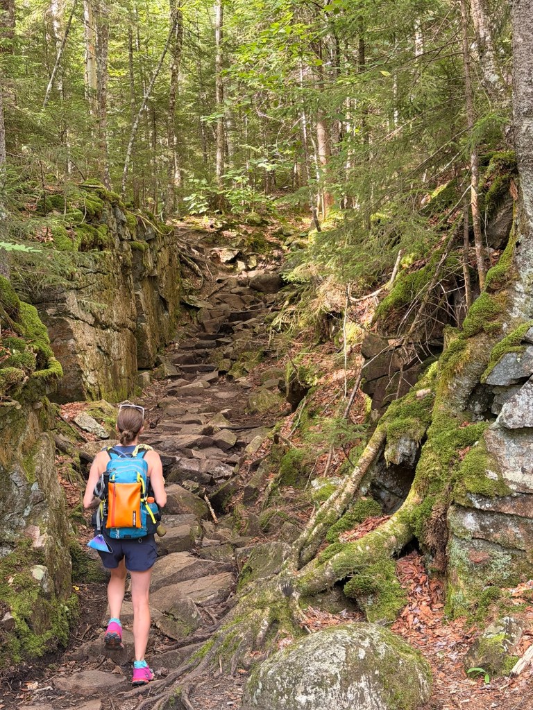
You get to this last waterfall, then take a left, and BOOM: a gorge-ous stairway treat.
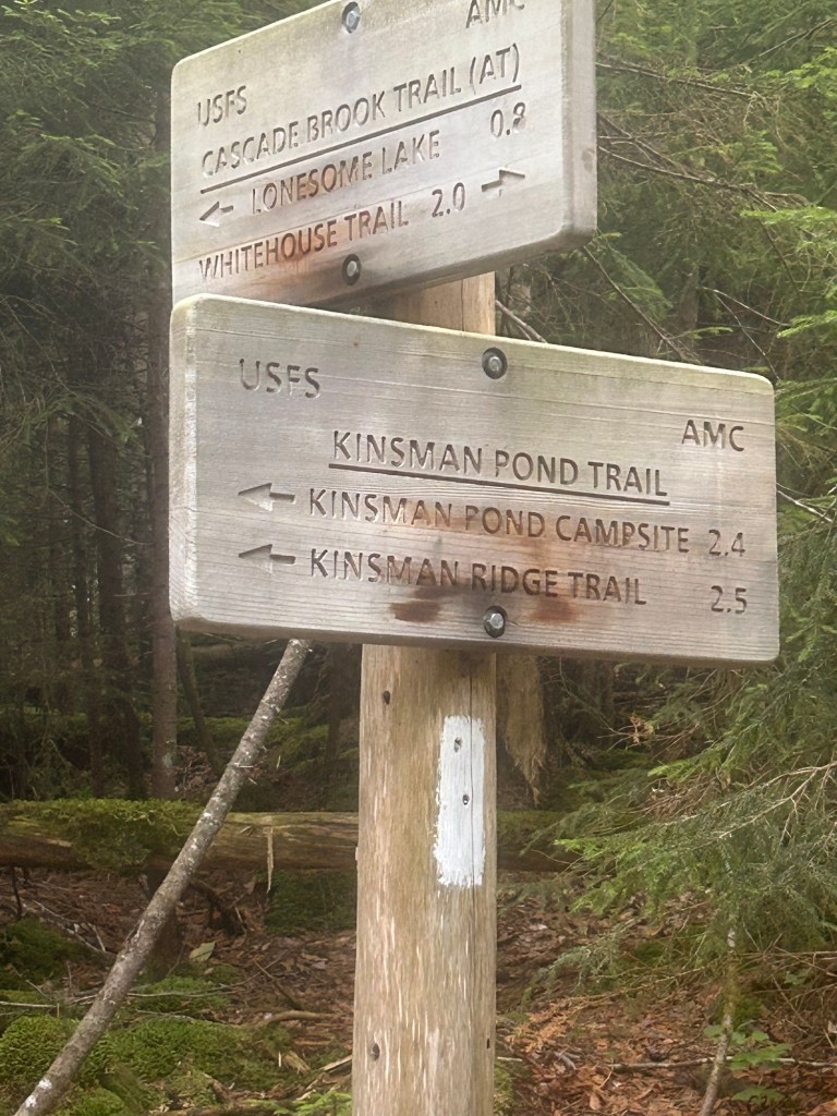
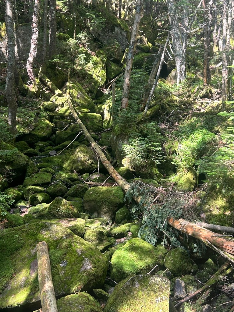
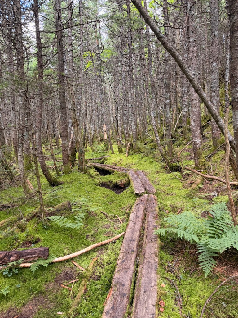
You can tell you’re getting close to Kinsman Pond when you start seeing more and more moss everywhere. It’s a pretty magical spot for me.


There’s steep ledge heading up to North Kinsman. We came up to what I’m assuming was a family (a dad with a male and two female adolescents) who were stopped. As soon as we passed, they started hiking again, and they were speedy. I was determined not to let them pass us. And they didn’t. I certainly got my heart rate up.
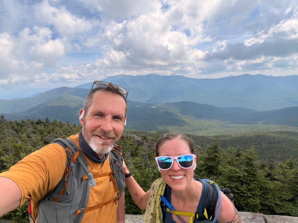
The hike between North and South Kinsman is one of the easiest (in my opinion). It’s a quick .9 of a mile, each way.



If we were to continue going south (part of the Appalachian Trail), we’d come up to a pretty gnarly section of steep descent down big boulders and slick ledge. I think it’s fun, but that’s with my small pack; kudos to the thru hikers who do it carrying their house on their back.
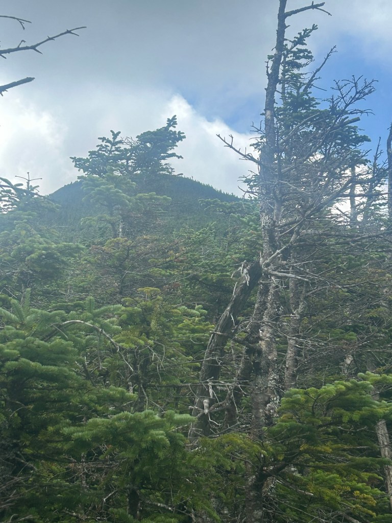
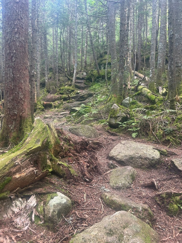
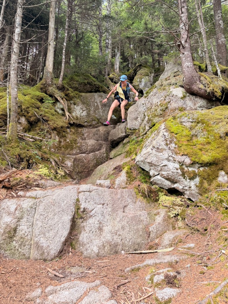

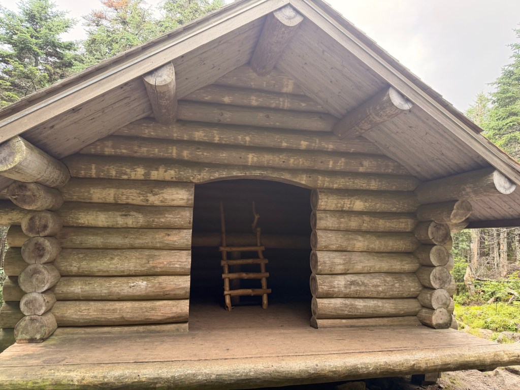
Once back at the Kinsman Pond shelter and campsite, we continue on the Kinsman Ridge Trail. Now we’re in for a roller-coaster hike, as we go over three and skirt around one of the Cannonballs. The trail has plenty of obstacles.
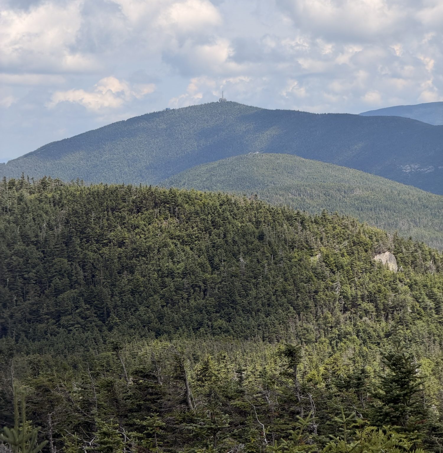
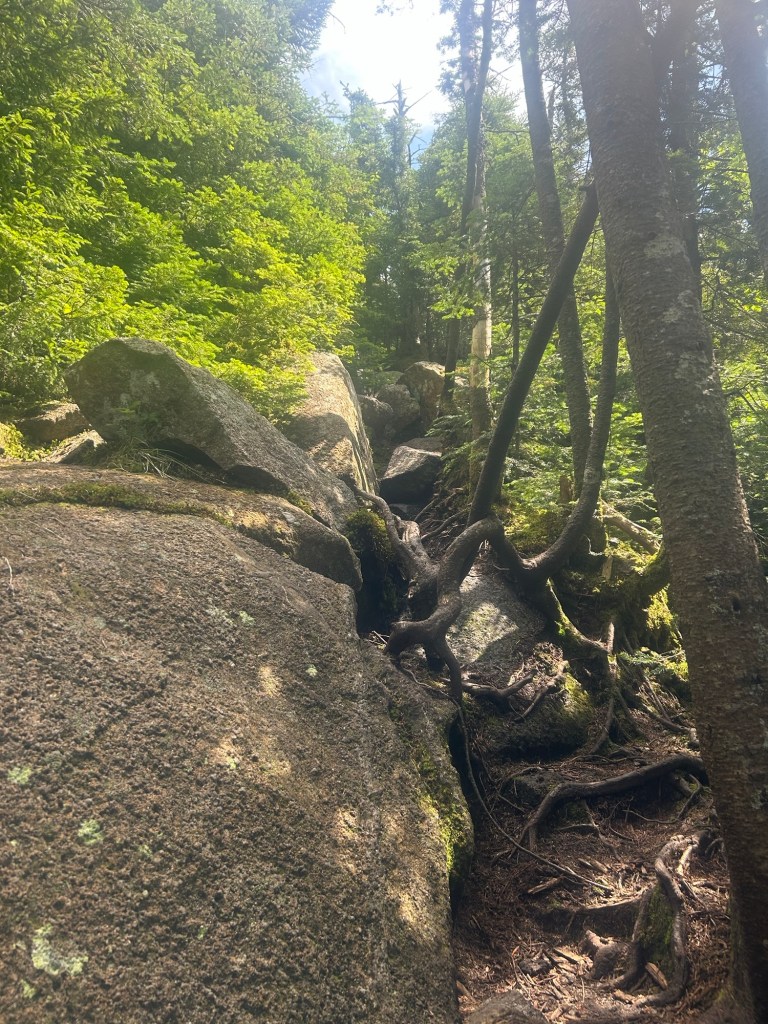
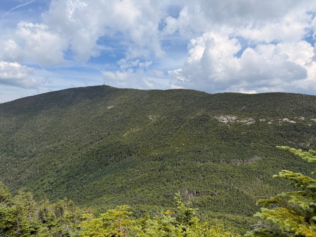
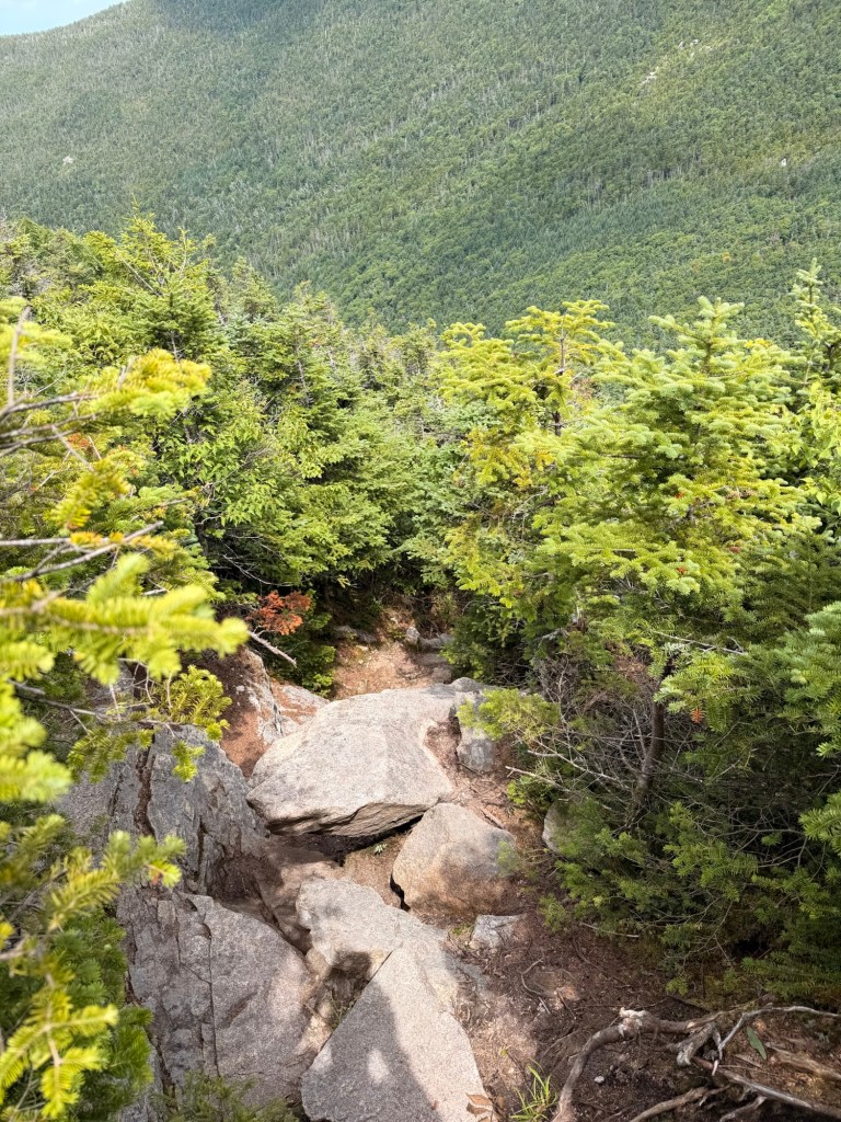
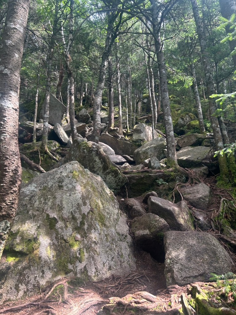
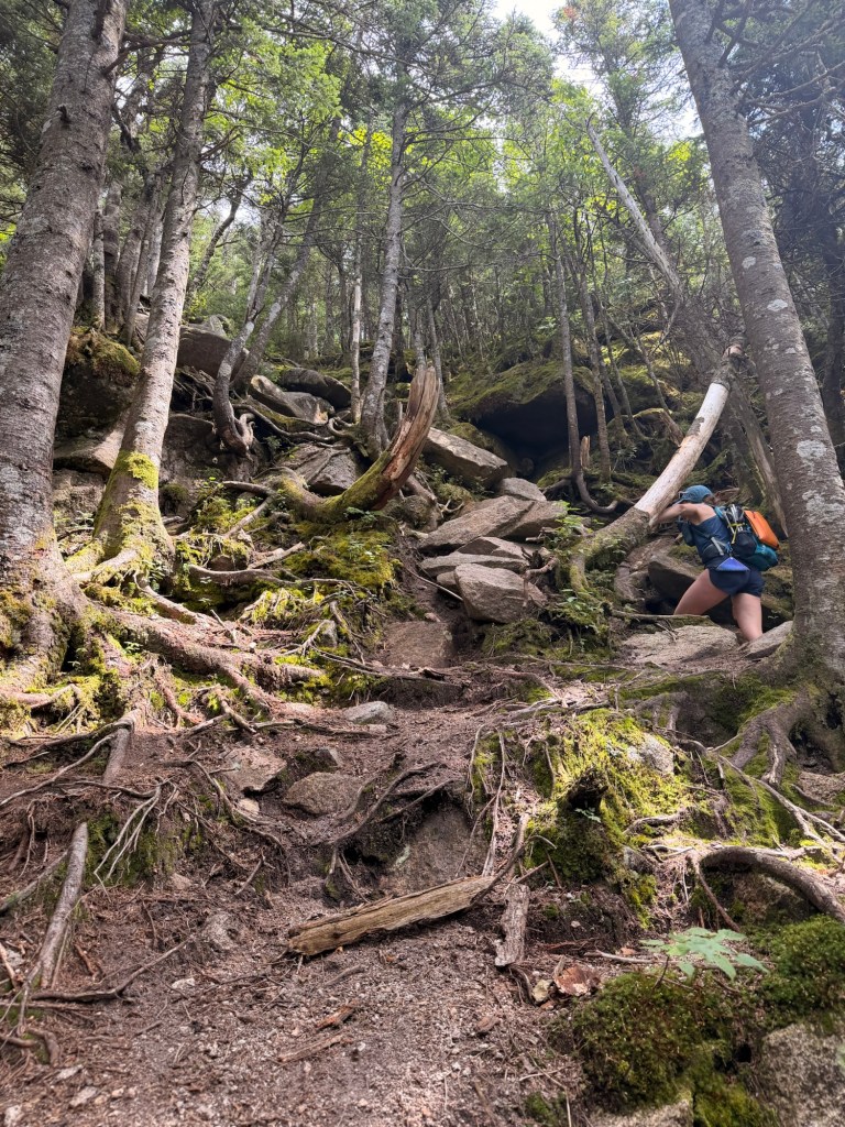

The climb from the col of the final Cannonball to Cannon is rugged. It’s fun to go up or down, as long as it’s not wet or icy. (We’ve descended when it was icy, and it was not my favorite.) When we’re in the middle of the hardest parts of a hike, we’re not really taking pictures, so we don’t have any of the really fun stuff.
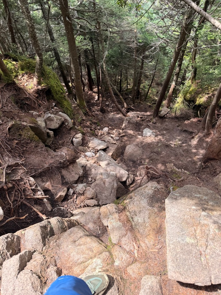
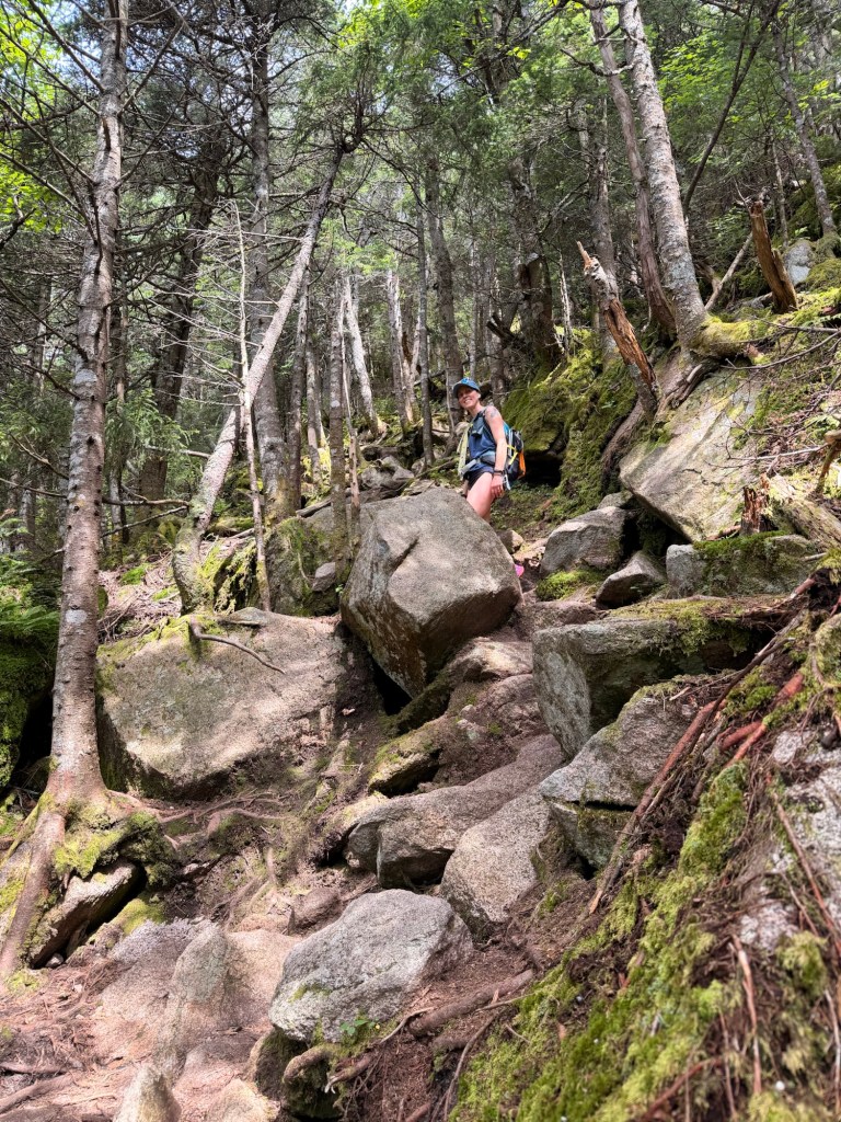
It’s .4 of a mile of steep climb, then .4 of a mile of a walk in the park to get to the summit of Cannon.

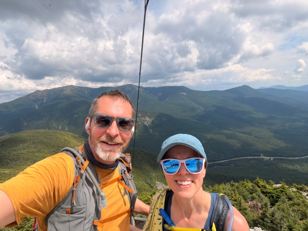
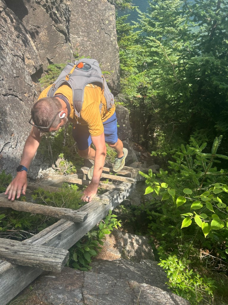
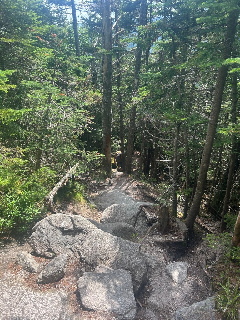
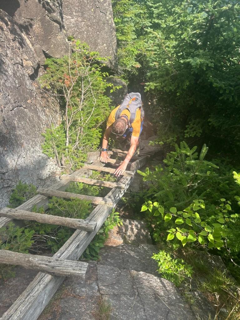
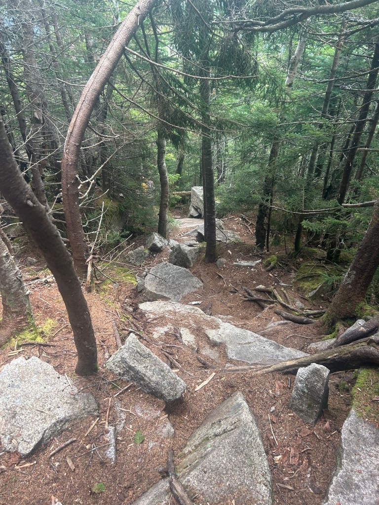
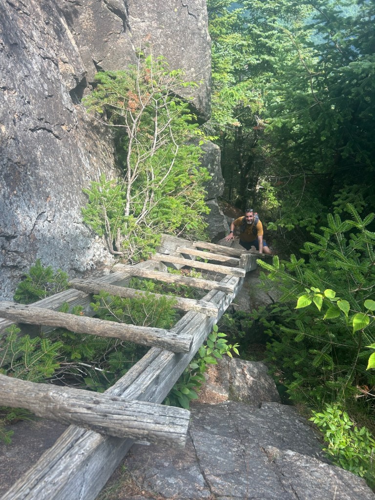
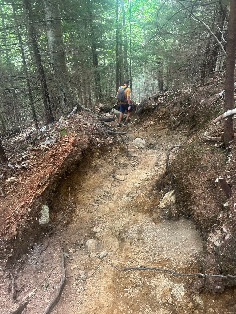
We descended Cannon via the Hi-Cannon Trail. It’s steep and ledge-y and especially treacherous when wet and icy. The last time we hiked Cannon via this trail, I hated my life going down the ladder, even with my K-10s. It was basically a long, steep, snowy slide. Luckily, the snow was soft enough to kick in steps, but there’s nothing to grab onto, and a big boulder is awaiting you at the bottom, should you slip. But on this day it was all good.
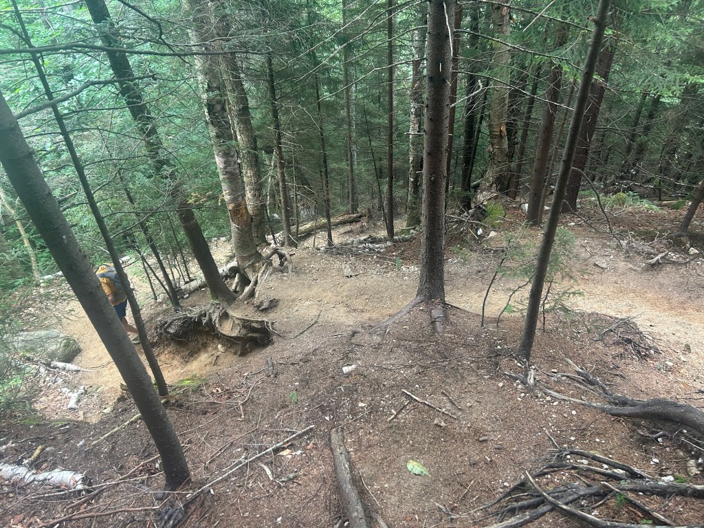
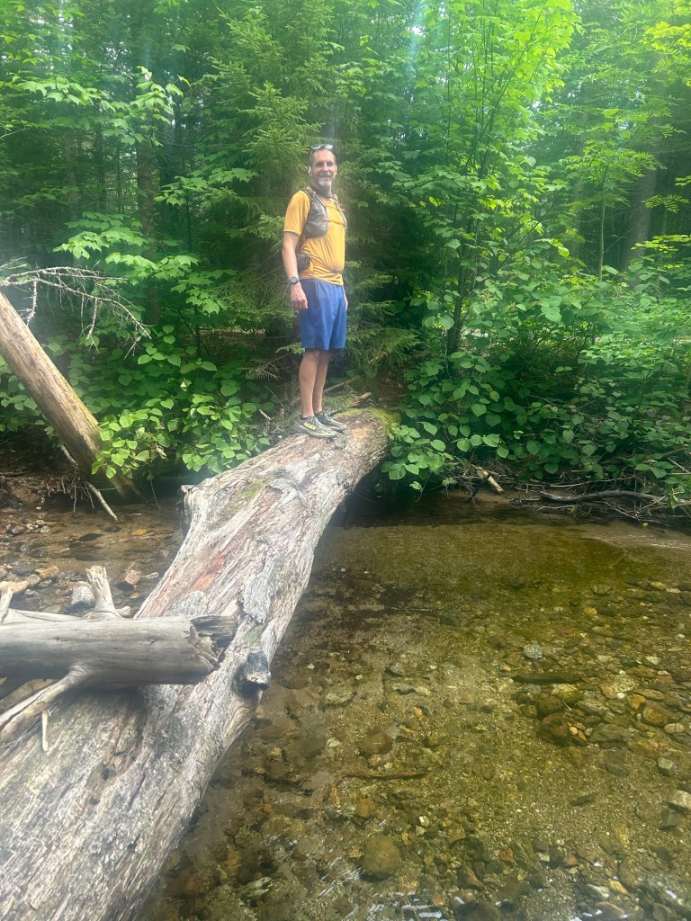
We reached Lafayette Campground and headed back to the Basin, first on the Pemi Trail, then on the Recreation Path. We walked on this for about 2 miles, making a nice loop.
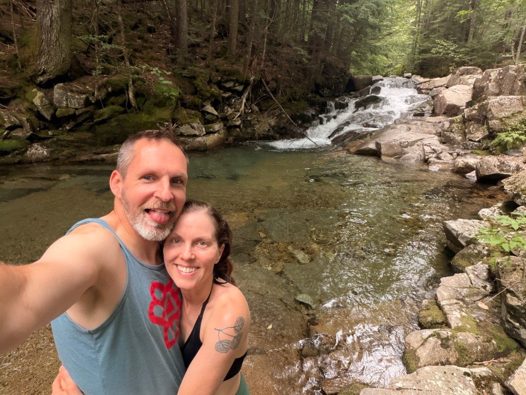
Back at the car, we changed into our swim suits, then found a spot to rinse off. I originally thought I’d be able to spend more than 10 seconds in the water, but it was way too cold. I needed John to help me out of the water because my legs wouldn’t work right. Despite this, it was a great way to end our day.
Other hikes you might like:
NH White Mountains: Adams and Madison via Great Gully
NH White Mountains: Owl’s Head
NH White Mountains: Wildcat D, Wildcat, Carter Dome, South Carter, and Middle Carter

