John and I had read enough about the road conditions up to the Grays Peak Trailhead that we knew would be parking in the lower lot and walking the 3 miles up the 4×4 road.
We woke up at 3:45am, and were out the door by 4:20, at the lower lot around 5:00, and walking up the road at 5:09am. We got .4 of a mile up when a guy in a red jeep Wrangler asked if we’d like a ride. This was our best-case scenario, and we graciously accepted the offer. His name is Matthew, and he seemed like an interesting dude, originally from the Netherlands, and now a professor of aerospace engineering. He was an experienced rock climber and was accessing Torreys and Grays via the Kelso Ridge. The drive up the road was slow-going, and we were happy with our decision not to take our rental BMW up.
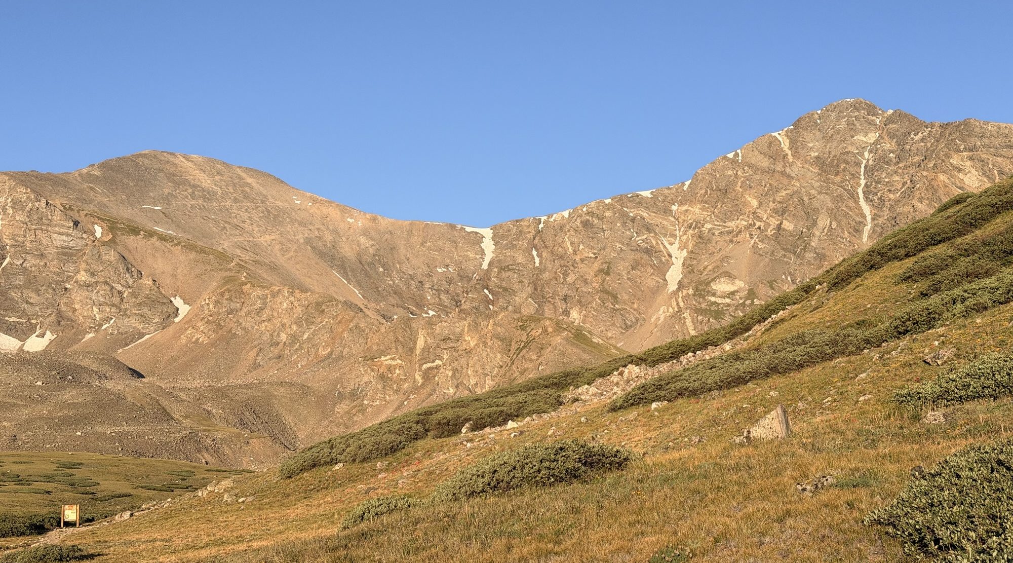
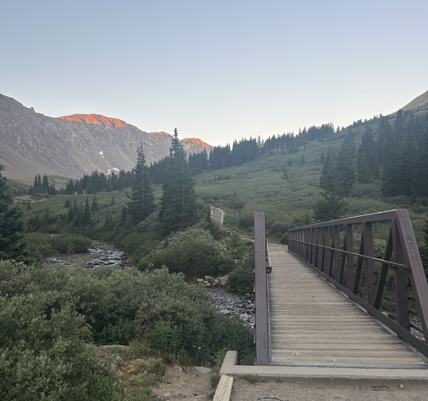
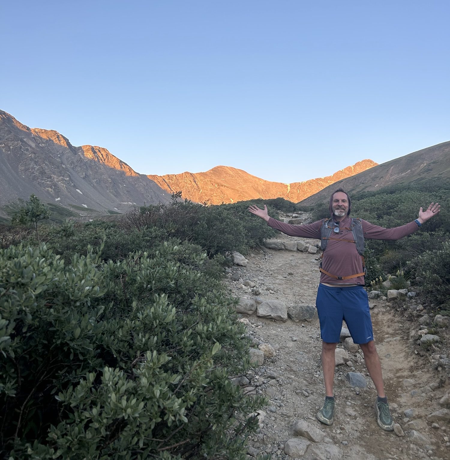
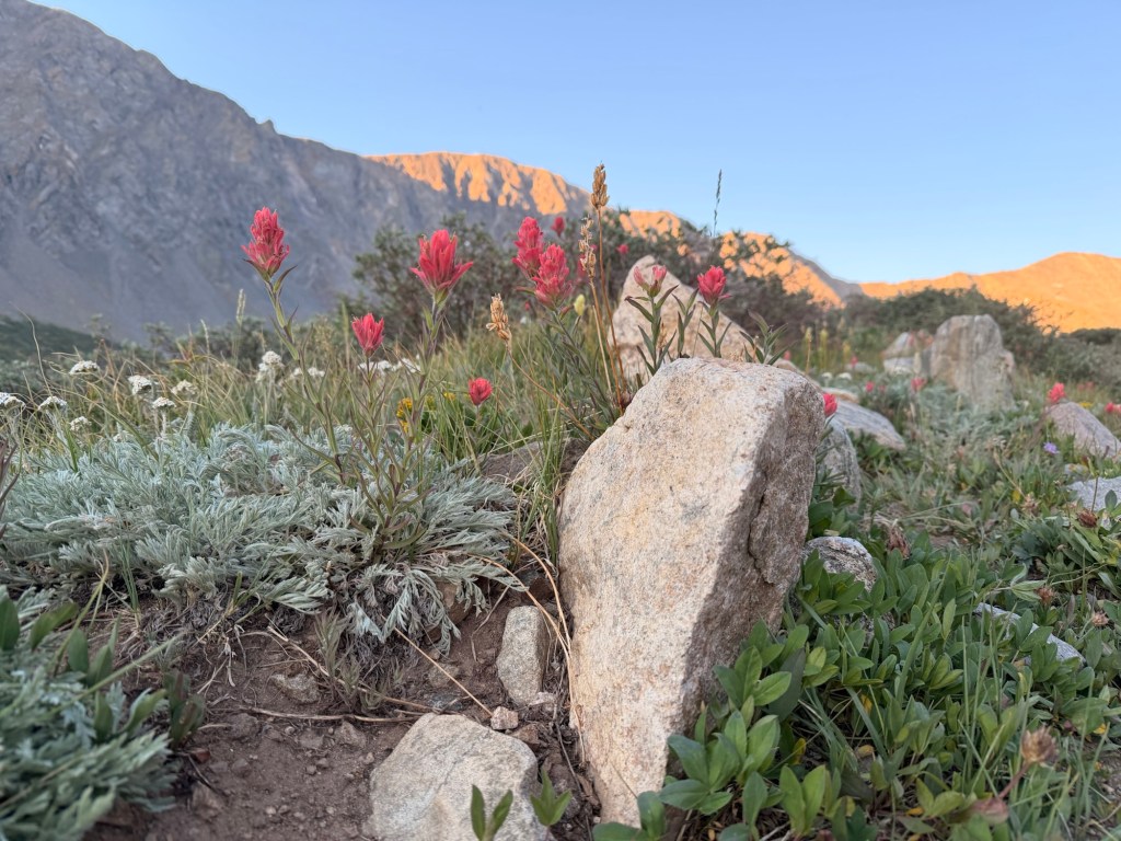
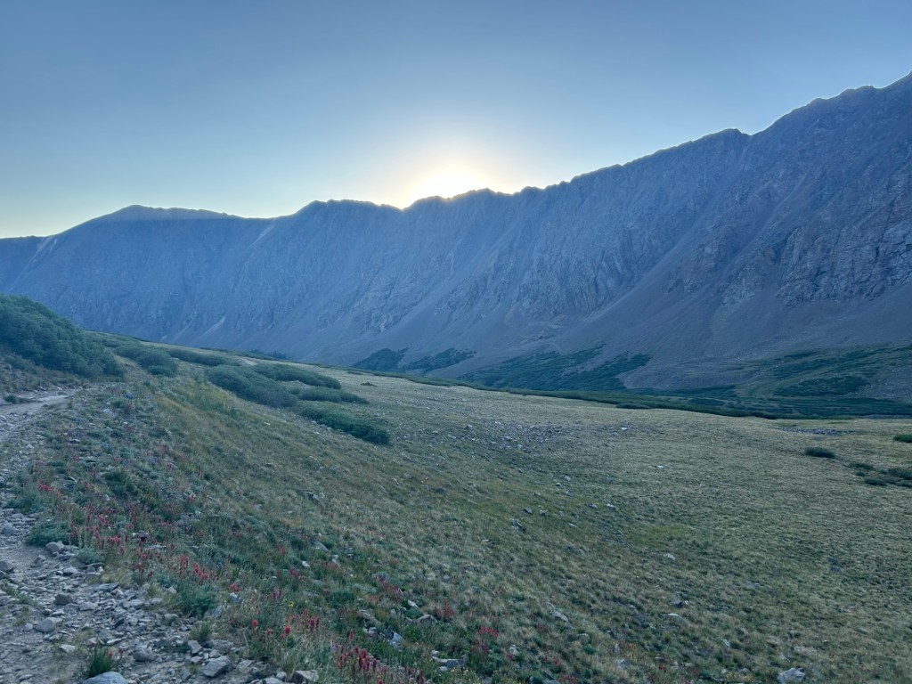
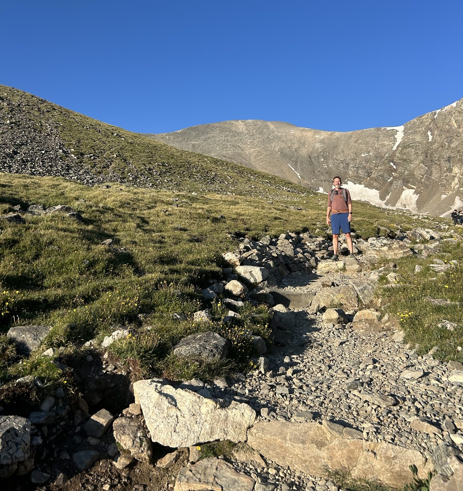
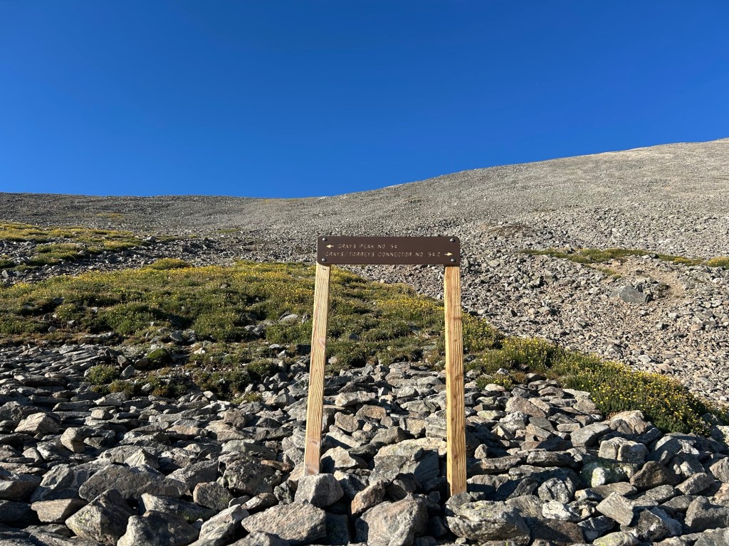
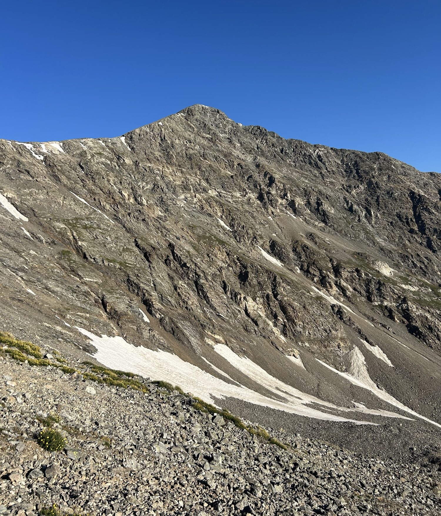
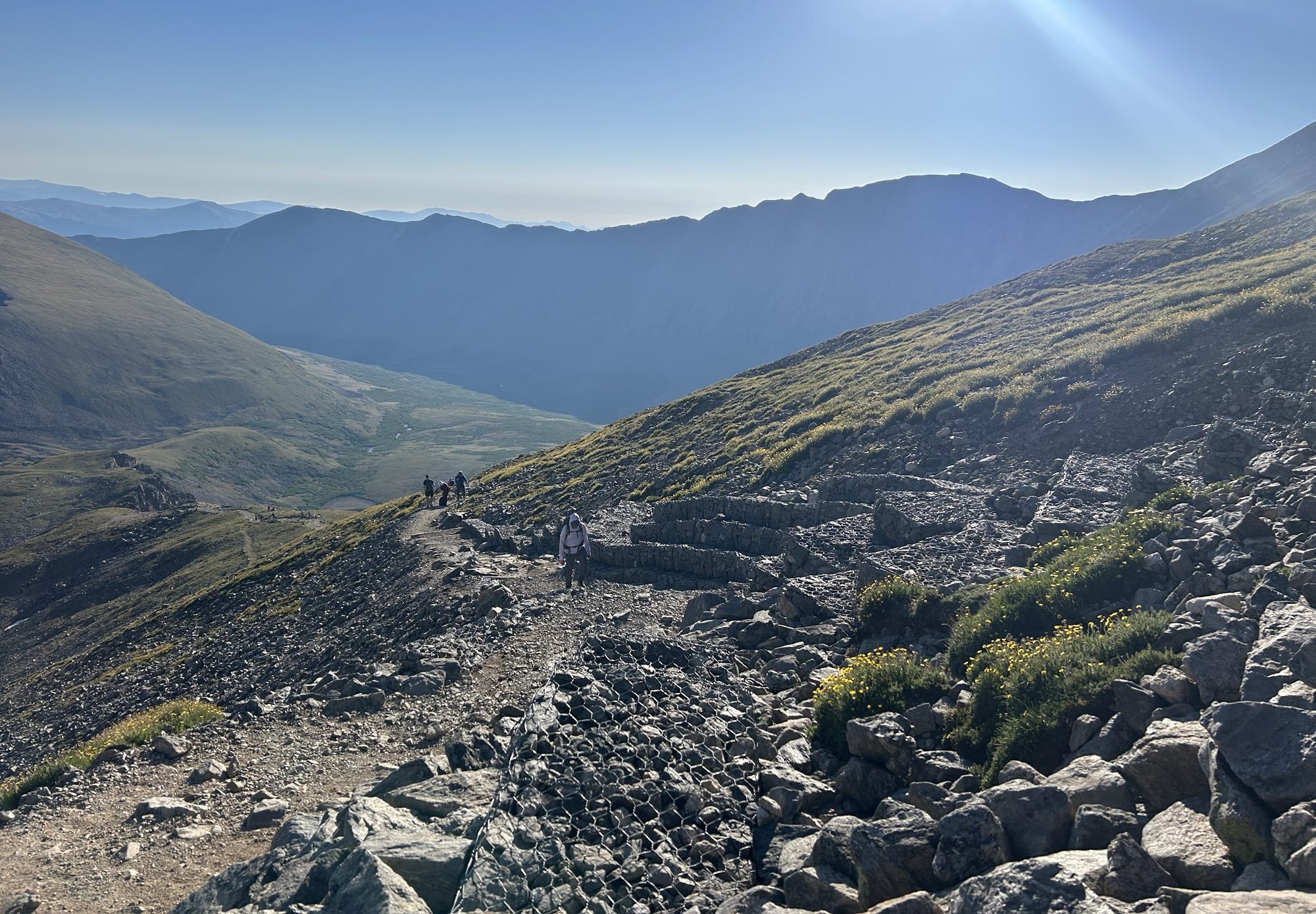
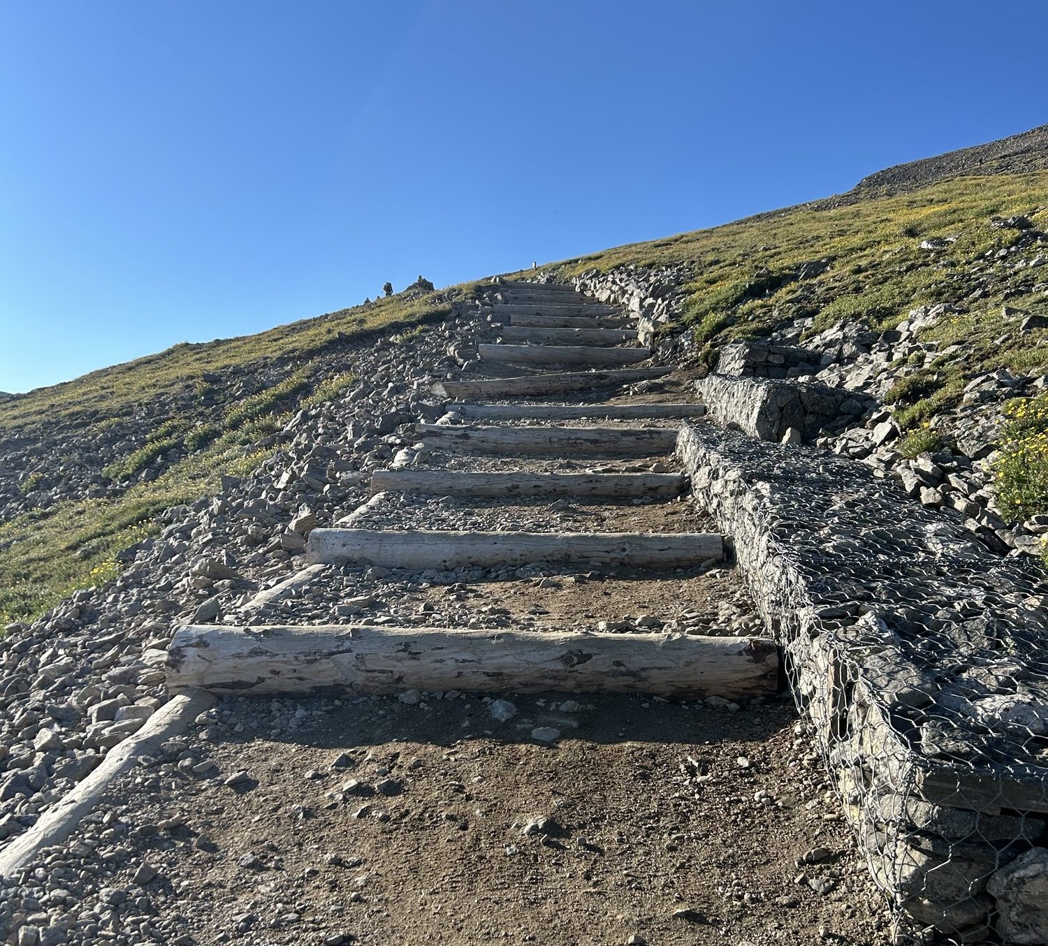
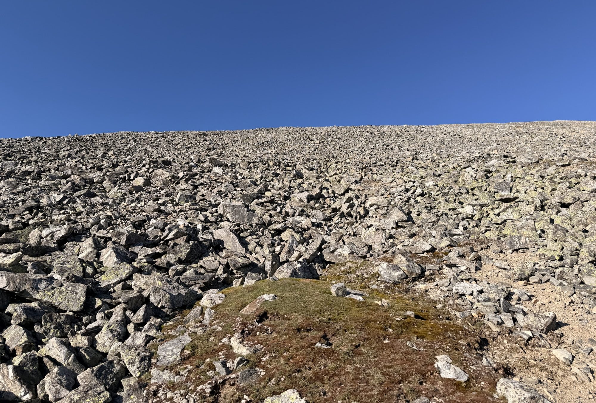
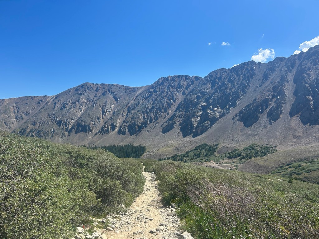
At the Grays Trailhead. Matthew got the second-to-last “legal” spot.Grays Peak and Torreys Peak are kissed by sunlight in the distance. There’s not a cloud in the sky at this point. By the time we finished, there were some fair-weather clouds.The wildflowers were beautiful. Looking back toward the trailhead. The sun is just about over the ridge.Part of Kelso Ridge, Matthew’s route to Torreys. It’s class 3. We want to come back and do it ourselves.Easy class 1 trail. Grays is in the background.Take a left for Grays and a right for Torreys. We started with Grays. We’ll eventually get back to this spot on the return. The trail is like a lollipop.Torreys as seen from a switchback heading up to Grays. We’ll be climbing up the ridge.Looking back.Stairs like this are good for erosion, but I don’t like hiking on them. The height is one-size-fits-all, which can be more annoying for those with shorter legs. I admire the people who do this work!We’re hiking to the top of this, though with long switchbacks that make it “easier” albeit less efficient. There are mountain goats up there, which made us concerned about rockfall.
On the way up before reaching the summit, there were four guys (early twenties) who were resting at a switchback. Once I got closer, they got up and started hiking again. (One of them was playing loud music for everyone’s “enjoyment.”) I smiled to myself and thought about how it wasn’t if, but when, I would pass them. As I did (not too much later), one of them asked the others if 14-ers were easier for short people. They shared their uneducated opinions, and I wondered to myself why they couldn’t just accept that I was a stronger, faster hiker. I have worked hard to be a strong hiker at 46, able to pass EVERYONE but those who are crazy enough (in my humble opinion) to run these mountains. We saw these guys again as we were hiking down to the saddle between the mountains, and they were just starting the climb up to Torreys. I would not have even mentioned this, but I was really just flabbergasted with these boys.
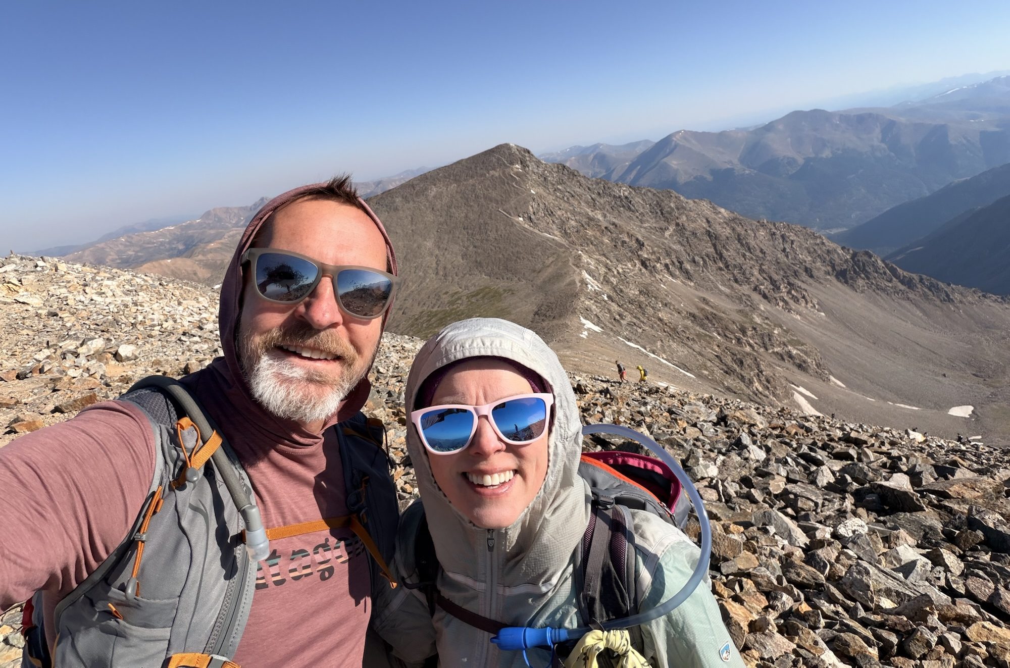
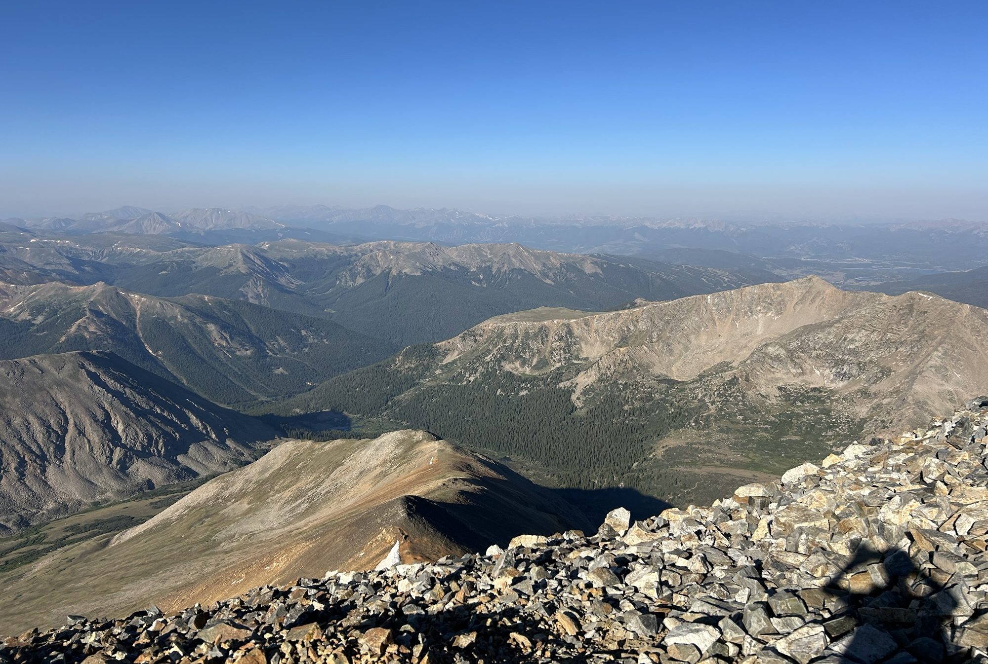
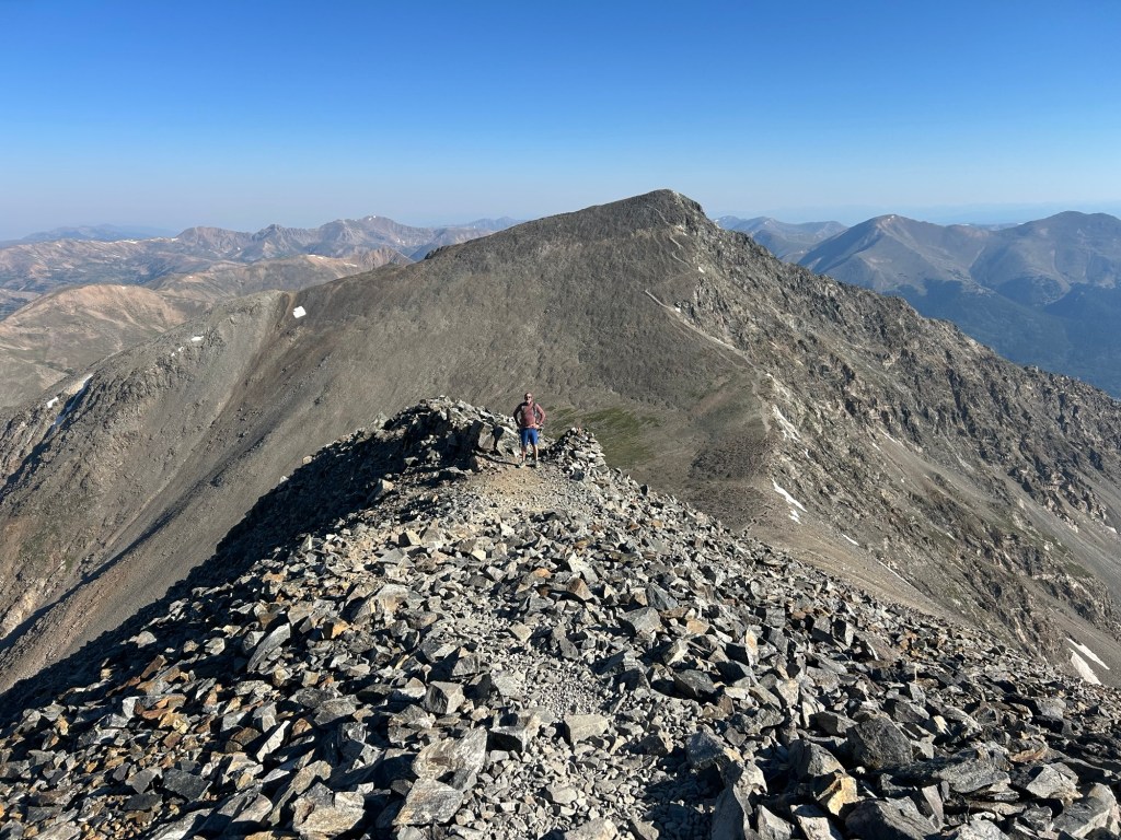
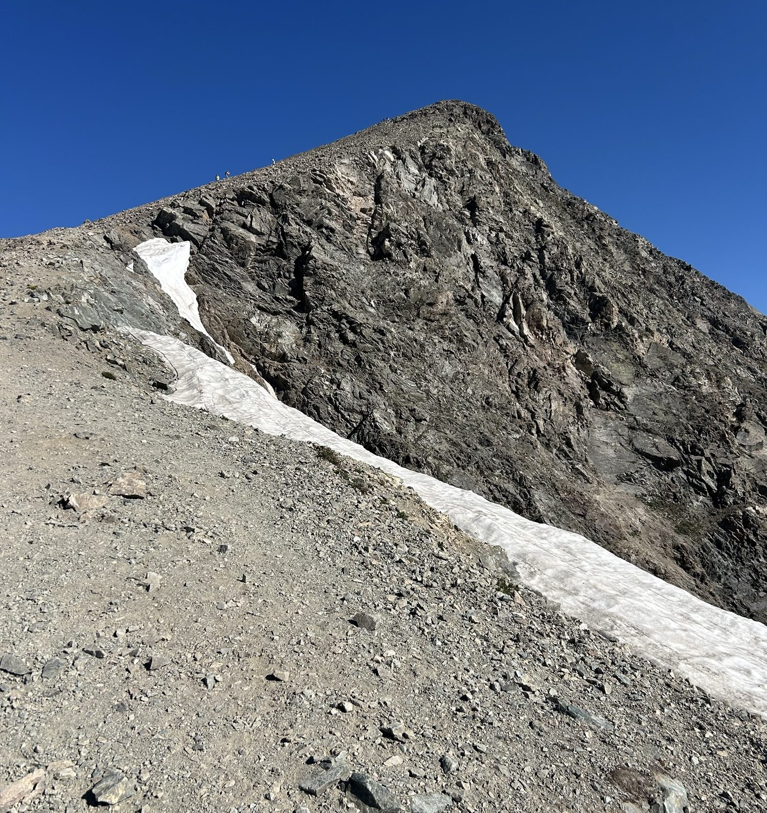
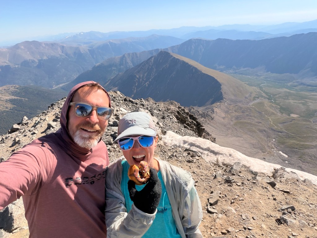
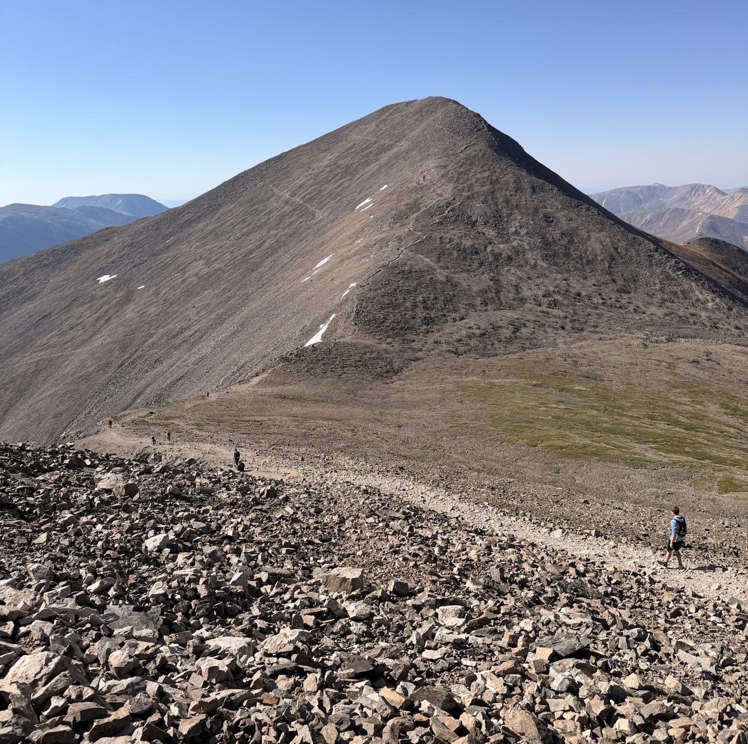
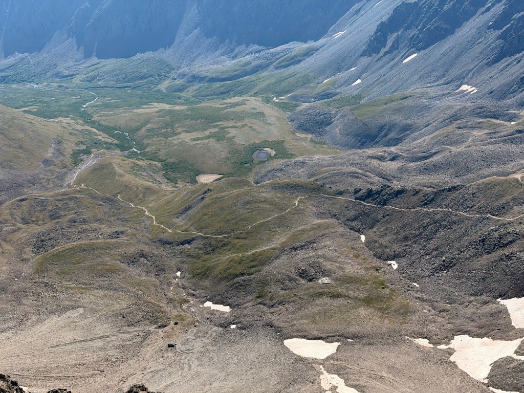
On the summit of Grays with Torreys in the background. We spent some time eating and chatting with Brandon from Missouri. I could imagine us being friends and doing adventurous stuff with him.View to the west. Collegiate Peaks are way in the distance. There’s some haze, probably from the Willow fire.The trail looks cool from here. We have to drop a bunch of elevation to get to the saddle, then climb up to Torreys in the background. It wasn’t steep enough with the gravelly stuff for me to use my poles; just had to go slow.Almost to the summit of Torreys. There are some switchbacks, but nothing like going up Grays. It made it slower going but quicker, too. Beyond the snow there’s a significant drop-off. Look closer, and you can see tiny people going up the ridge.On the summit of Torreys, with a donut to make me even happier than I already was. I got to the summit a few minutes before John, and Matthew was there about to head over to Grays. We chatted for a bit, then John caught him when they passed each other. He enjoyed Kelso Ridge (in the background) and recommended that we do it the next time we’re here.Heading back down to the saddle, where we’ll turn onto another trail that joins with the “stick” of the “lollipop.” I’m happy that we don’t have to go back over Grays.A close-up view of part of the trail system; the “stick.”
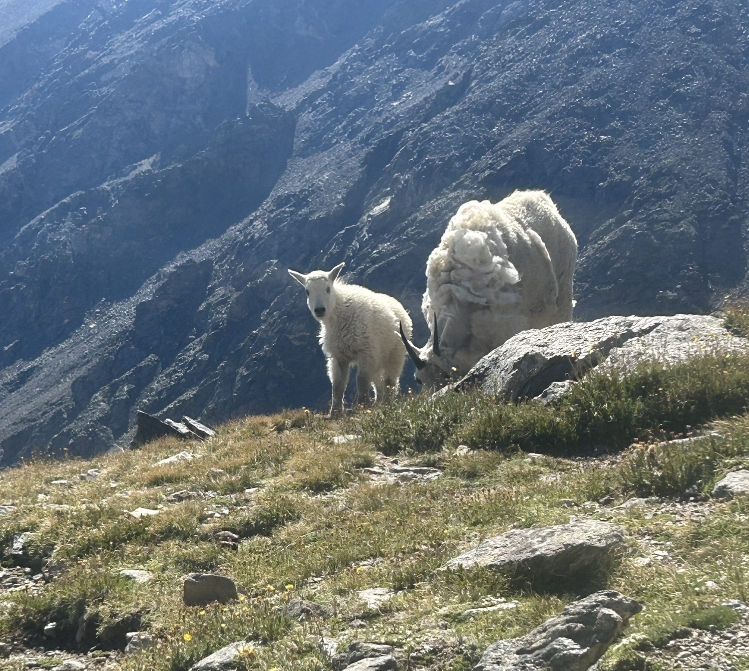
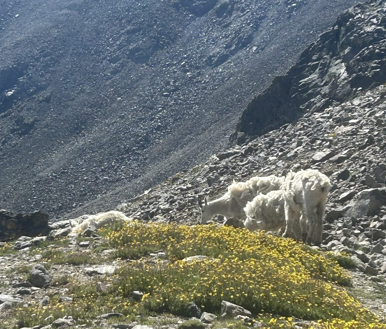
We were lucky enough to see six mountain goats on our descent. One of them was young and looked like it had all of its fur. The others were older and shaggy, missing large portions of their coats. At one point all of them were running to get ahead of the people on the trail. They are remarkably fast!
On the flat section to finish our day. The sun is strong and bright. It was around this area on our return that we finally saw a couple of marmots.
Once we returned to the parking lot, we had a three-mile road walk. We decided that we would politely decline any offers for a ride down; I was concerned that I would suffer from motion sickness on the rough road because my head was already feeling off from the strenuous day with a lower amount of oxygen. It was heartening to have people offer to take us, though. There are kind people in the world!
 Adventuring with Mel and John