Colorado 13-ers: Father Dyer Peak- Crystal Peak -Peak 10
Wednesday, July 15, 2026
Background: John and I are planning to hike as many of the 14,000 foot mountains in Colorado as we feel comfortable doing, knowing that we probably won’t be hiking Little Bear Peak, Pyramid Peak, and Capitol Peak – each of them class 4 – based on beta gleaned from books, blogs, websites, etc. We figured that we can get all of the mountains in the Sawatch Range, which is why our original plan was to hike Mt. of the Holy Cross on this day. This was the mountain in that range that was closest to where we were staying in Breckenridge. The commute was long, and we weren’t willing to wake up as early as we would have had to, so we were going to sleep in the rental SUV; we even brought some things from home to be able to do that comfortably. Neither one of us, though, really wanted to do this. Plus, we weren’t excited about the 5,600′ of gain.
Staying in Breckenridge offers access to many 13,000-footers without a long commute, so John spent Tuesday researching 13-ers. Since we wanted to hike Mt. Bierstadt and Mt. Blue Sky via Sawtooth, a gnarly class-3 route, later in the week, he found Father Dyer Peak as a way to test our skills and assess our comfort on an “easy” class 3.
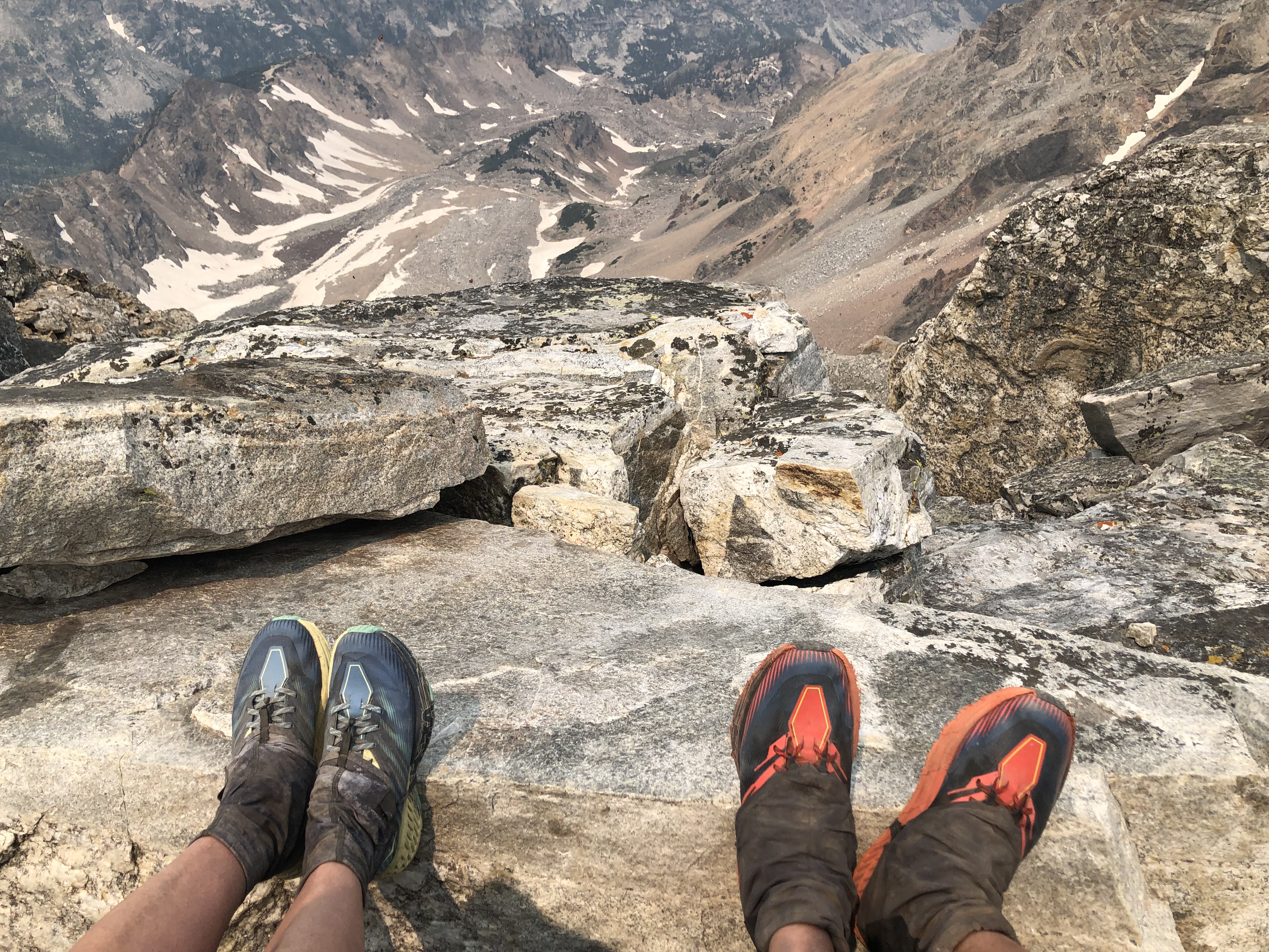
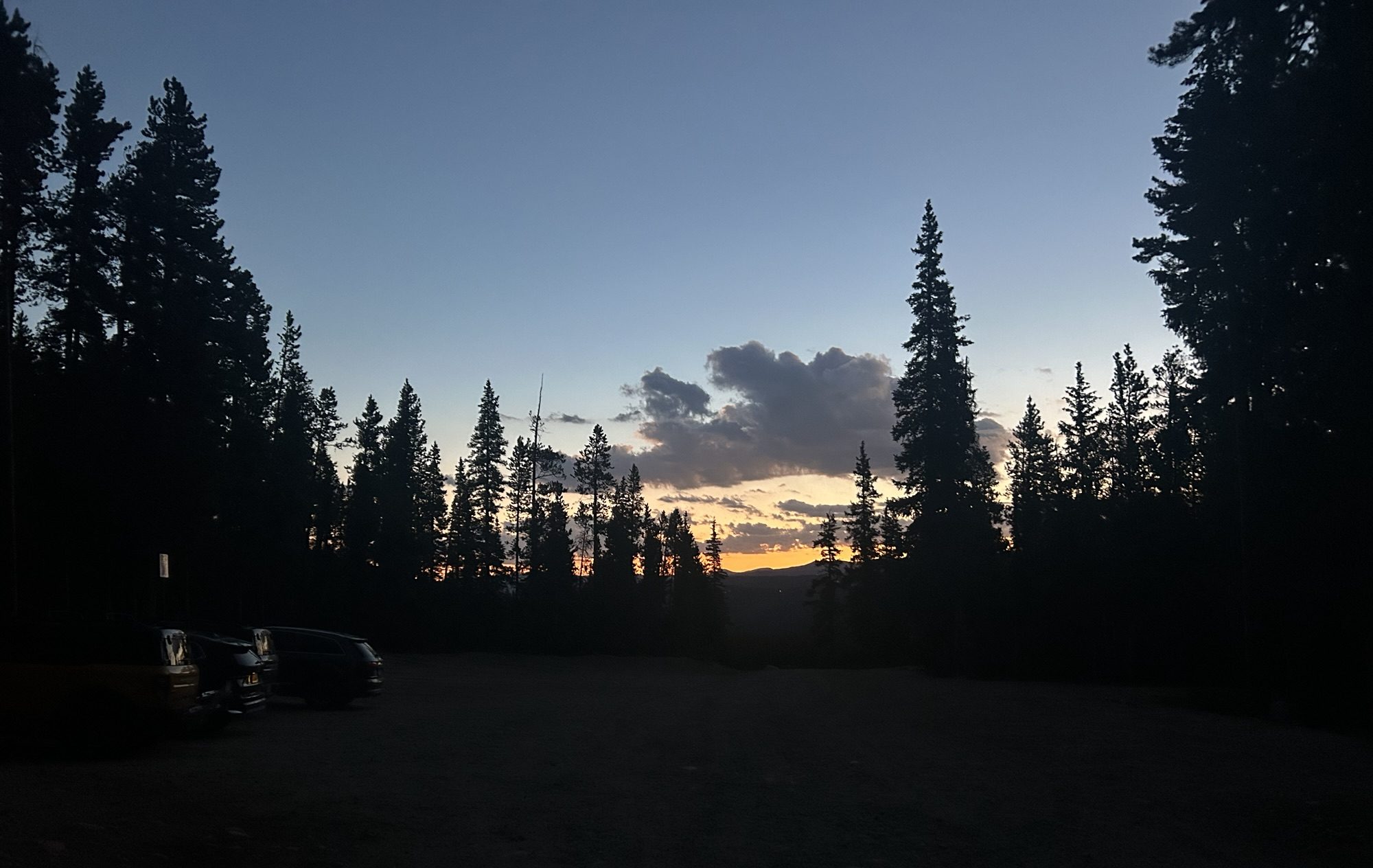
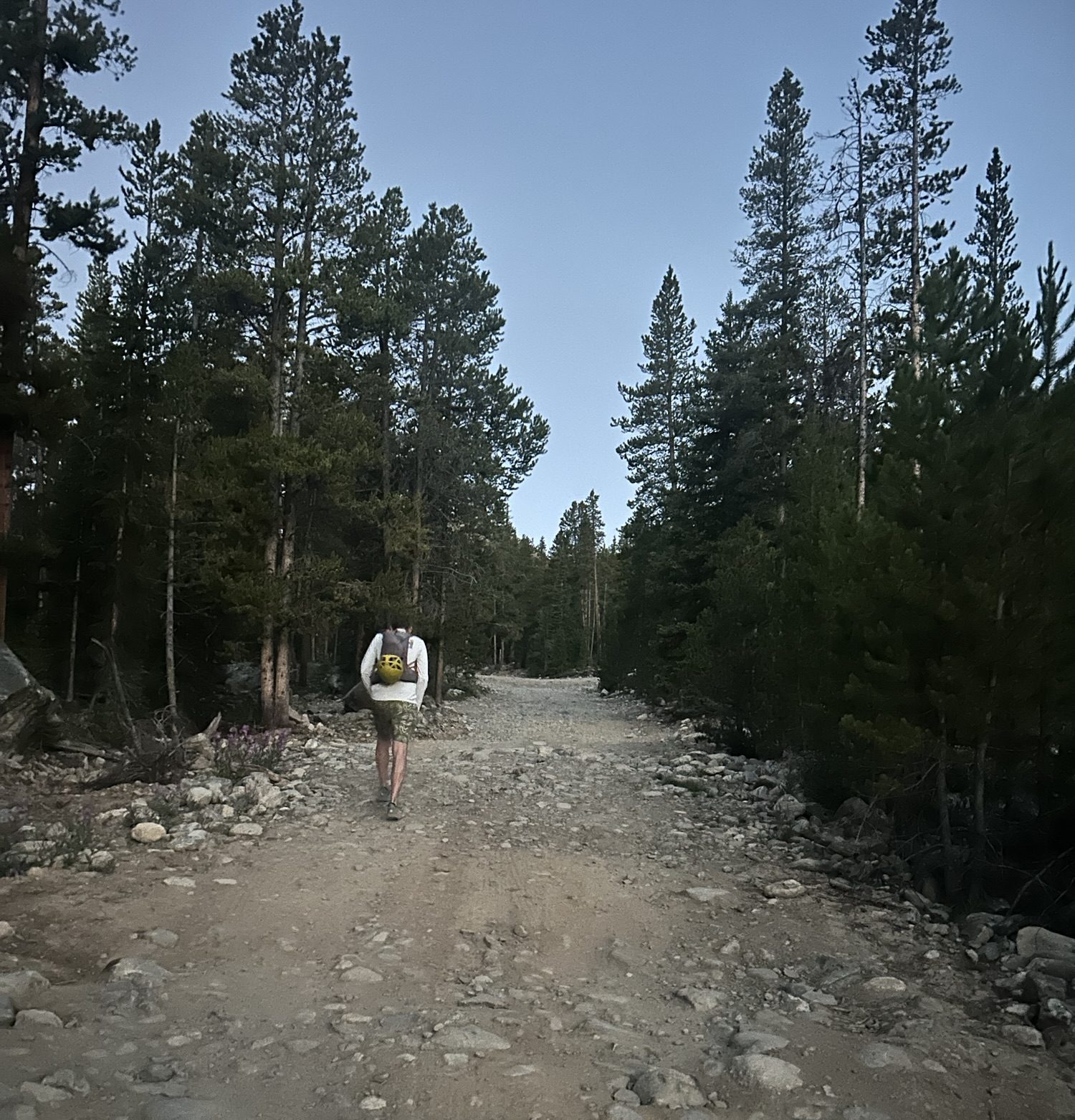
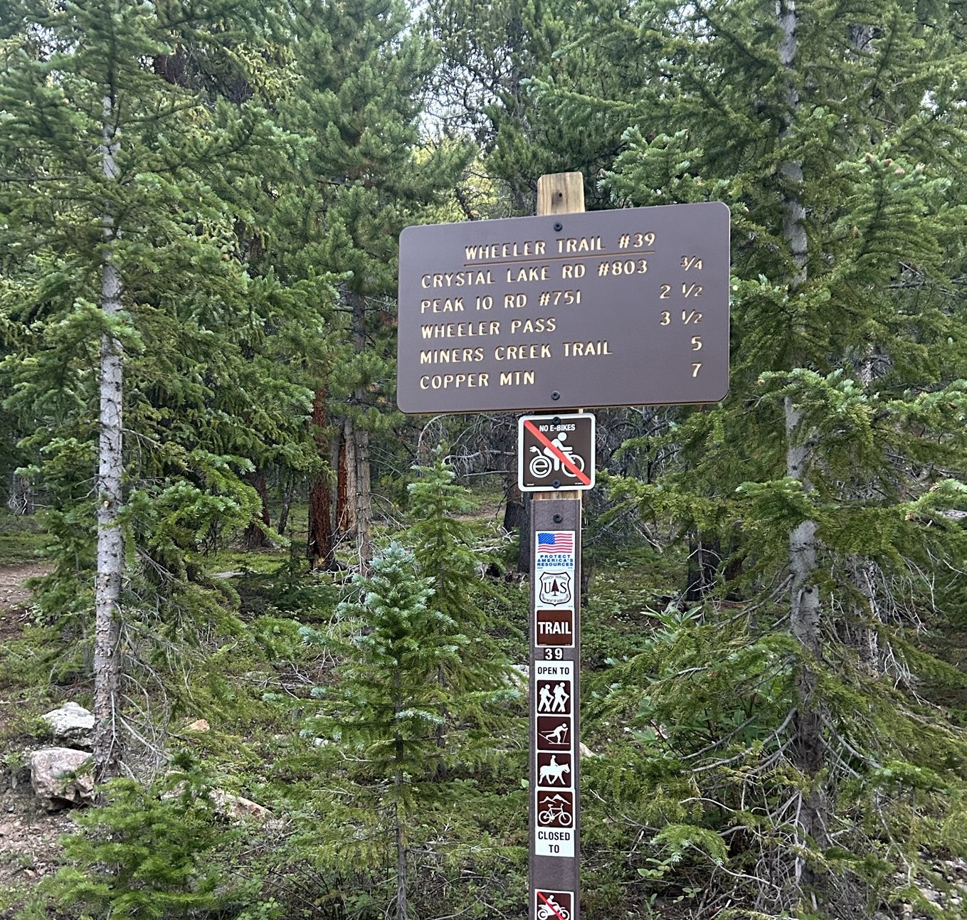
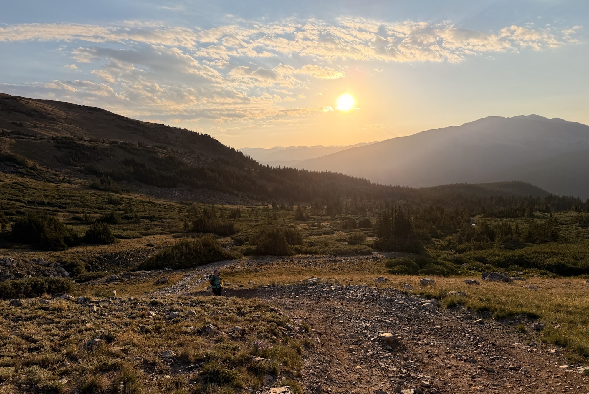
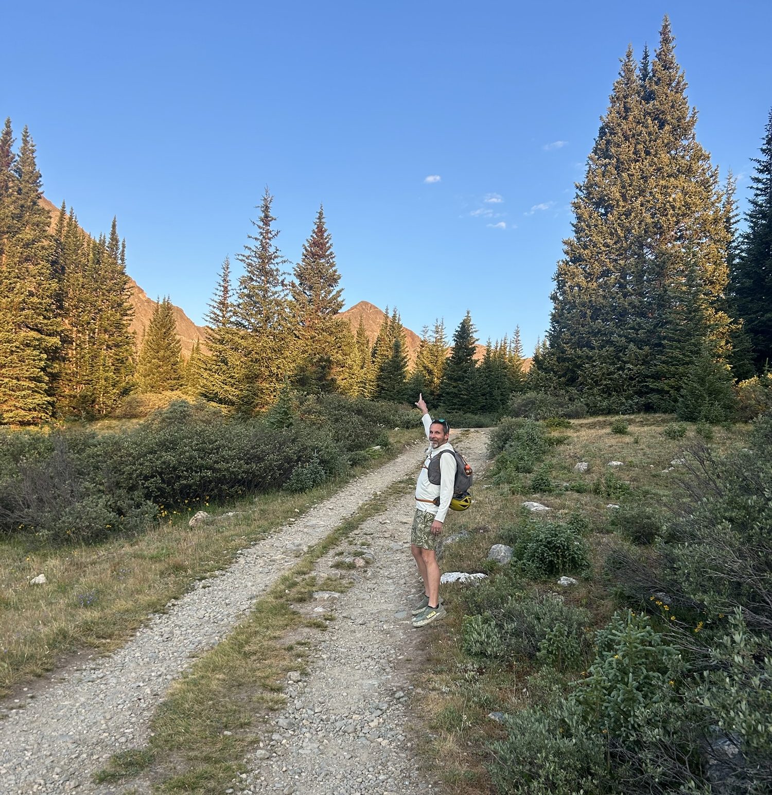
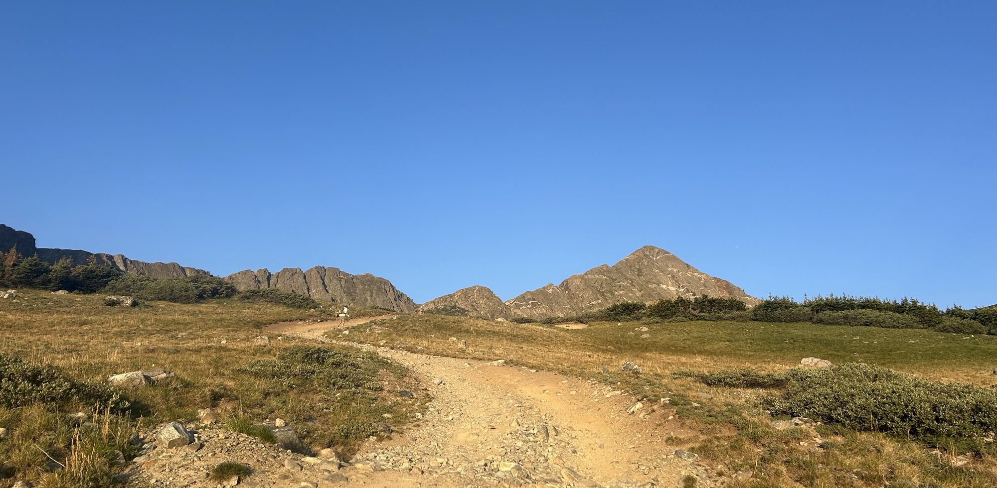
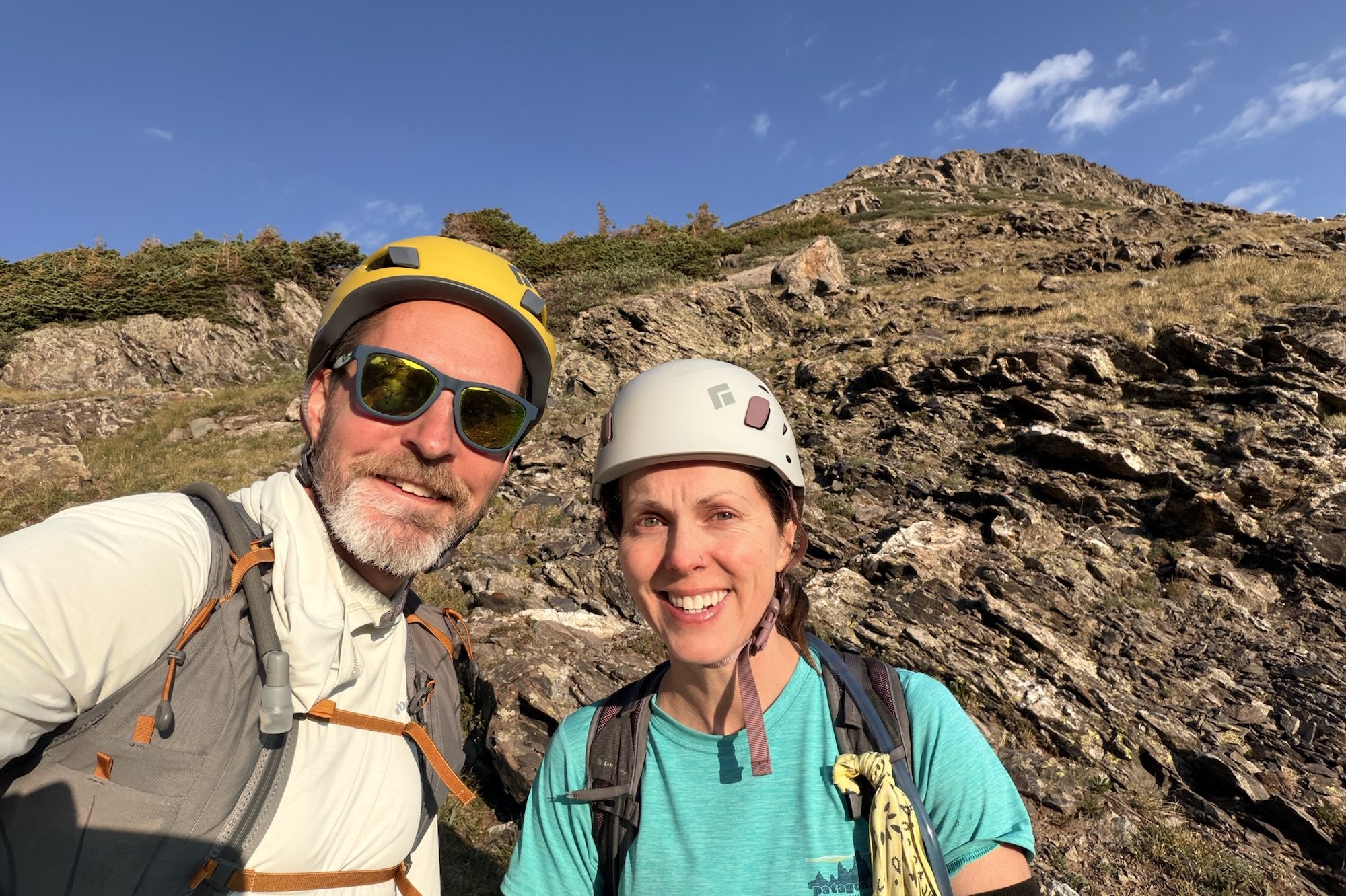
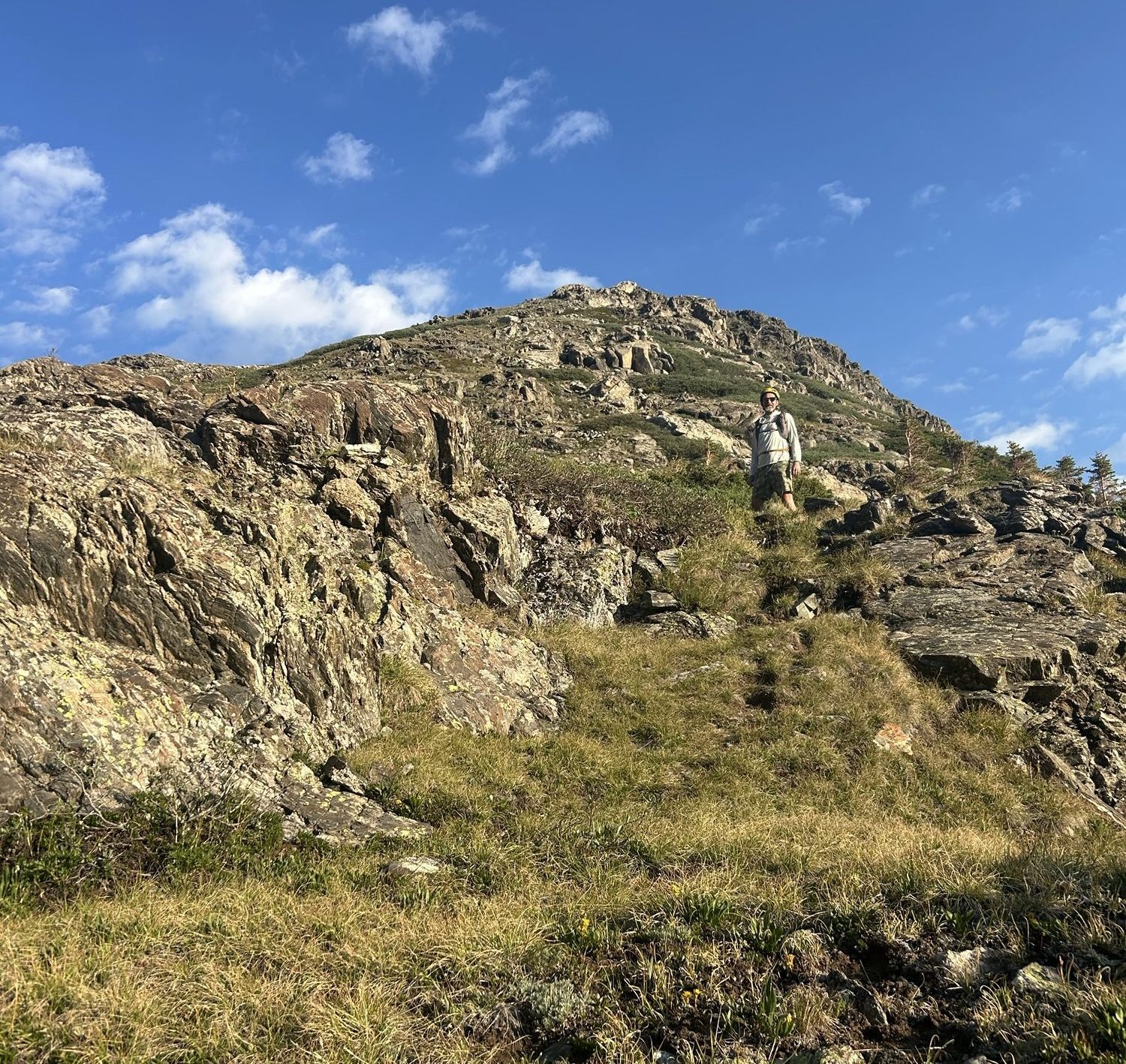
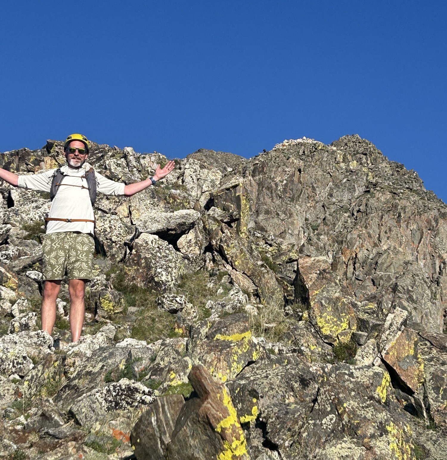
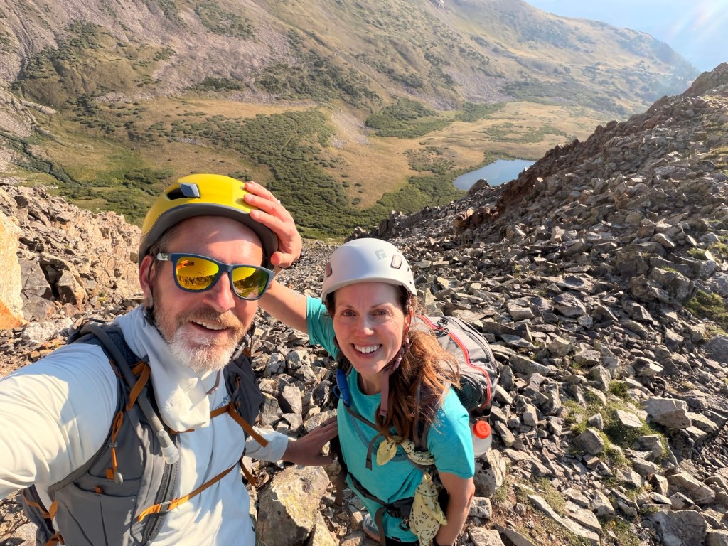
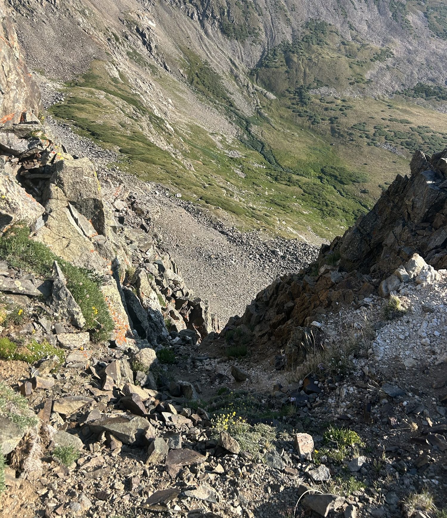
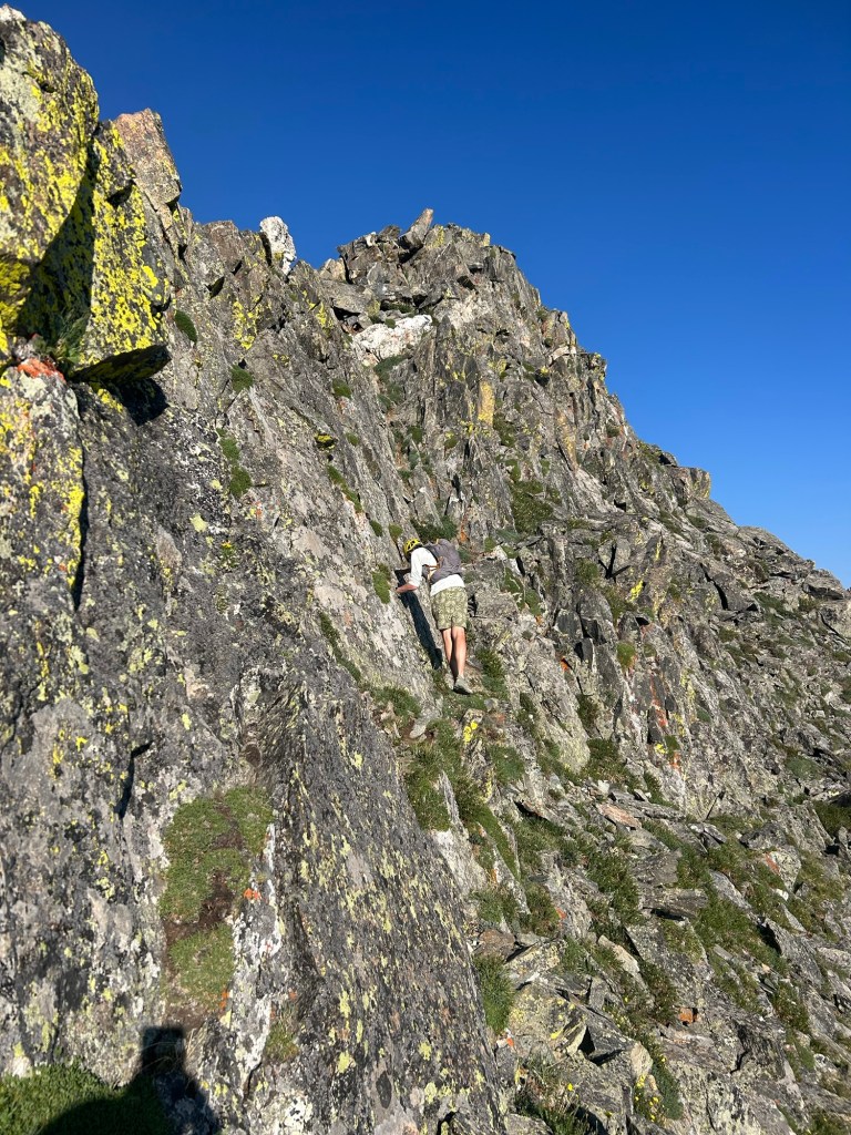
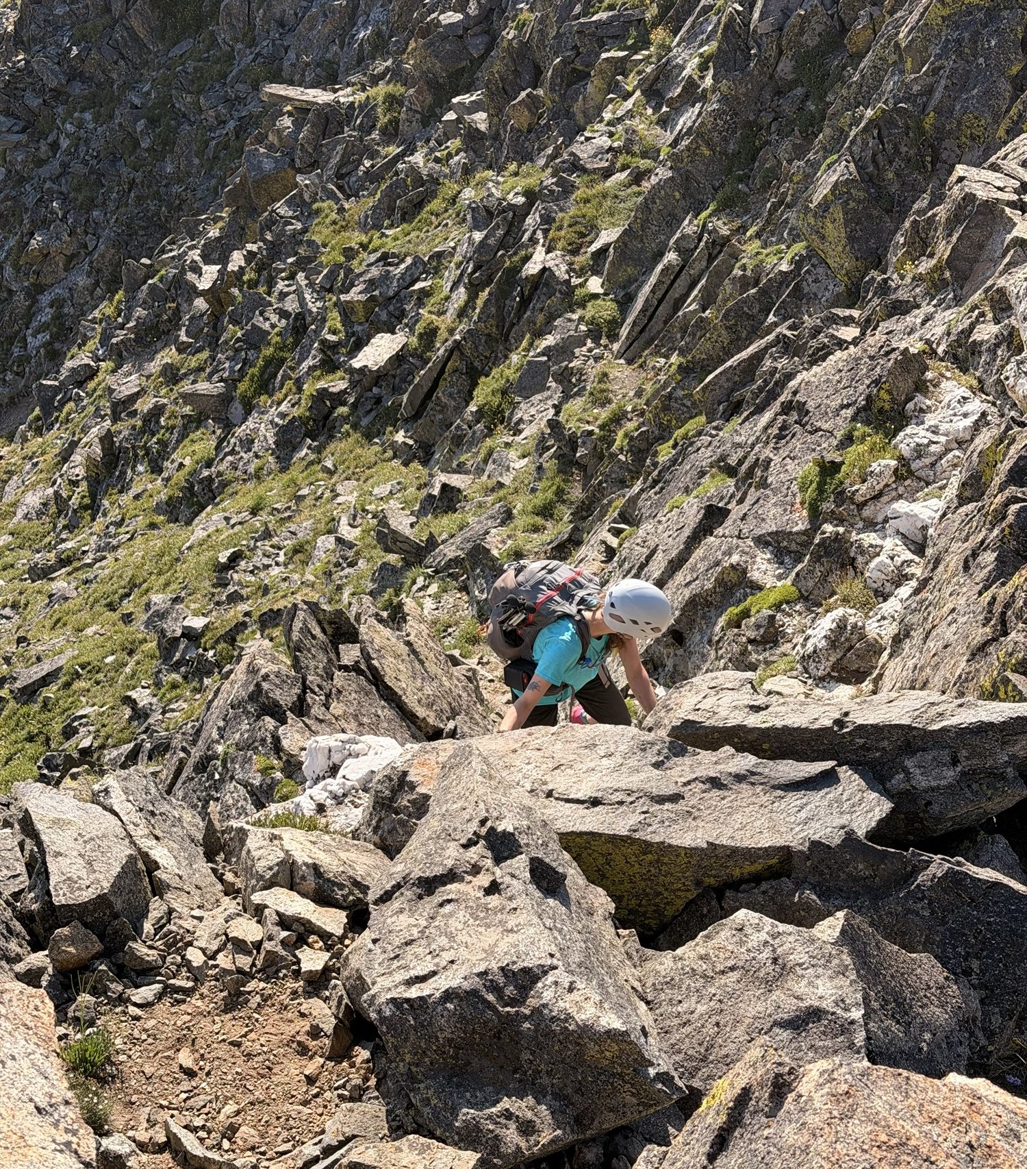
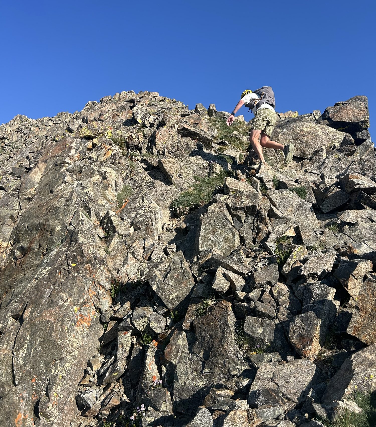
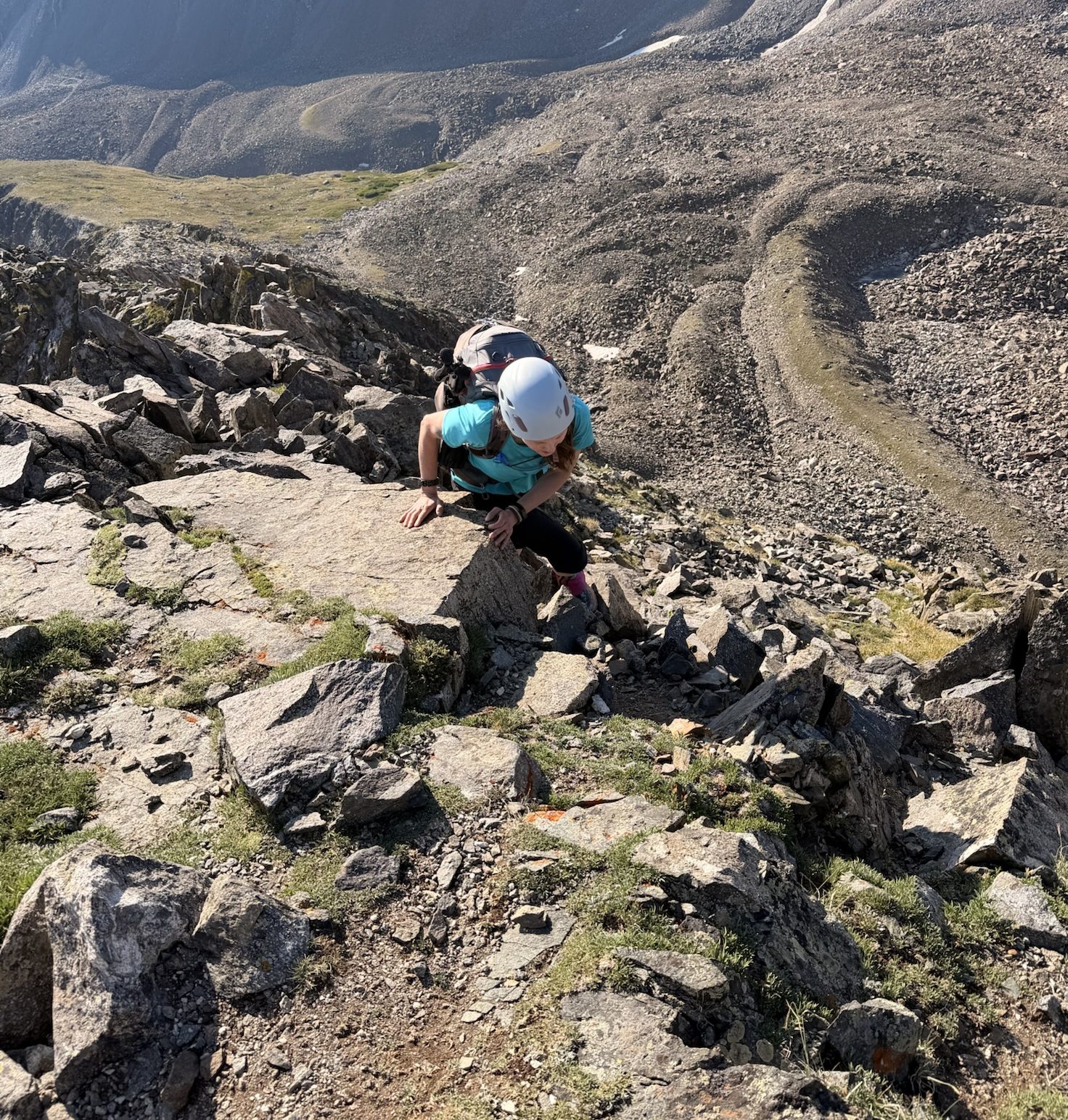
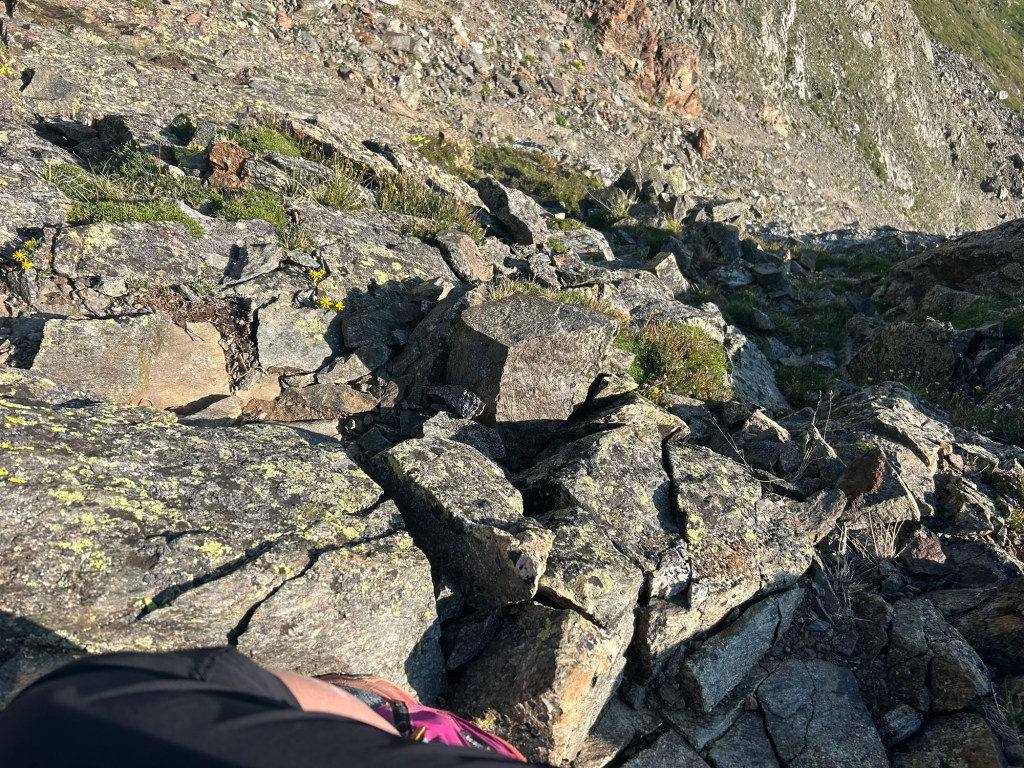
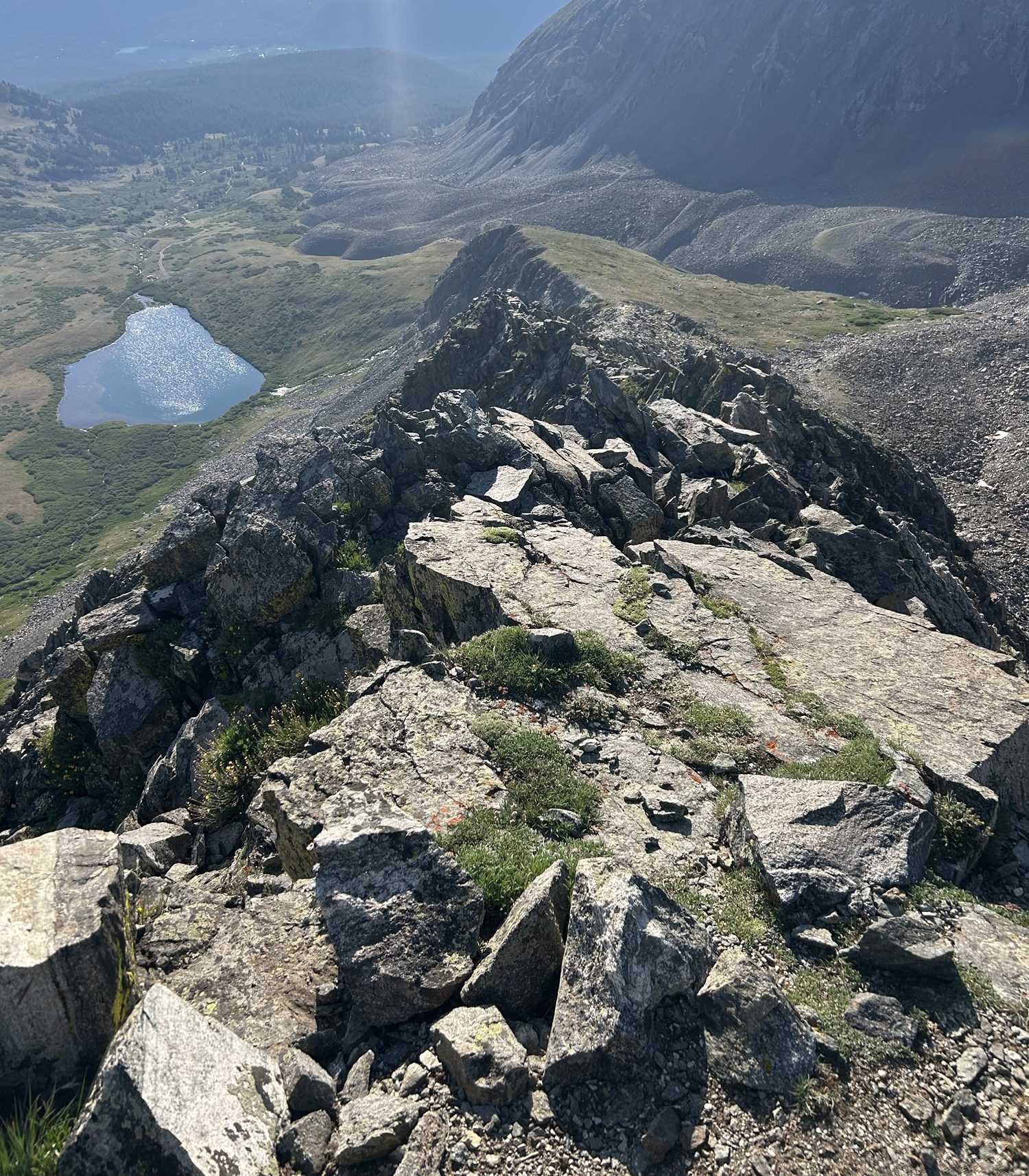
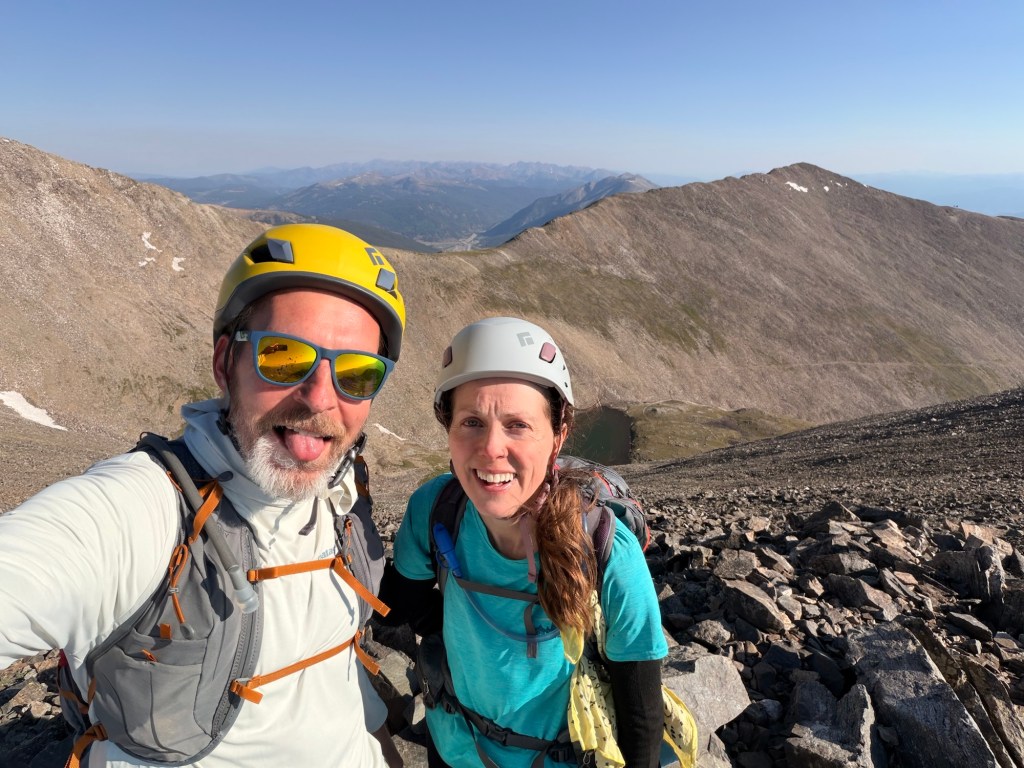
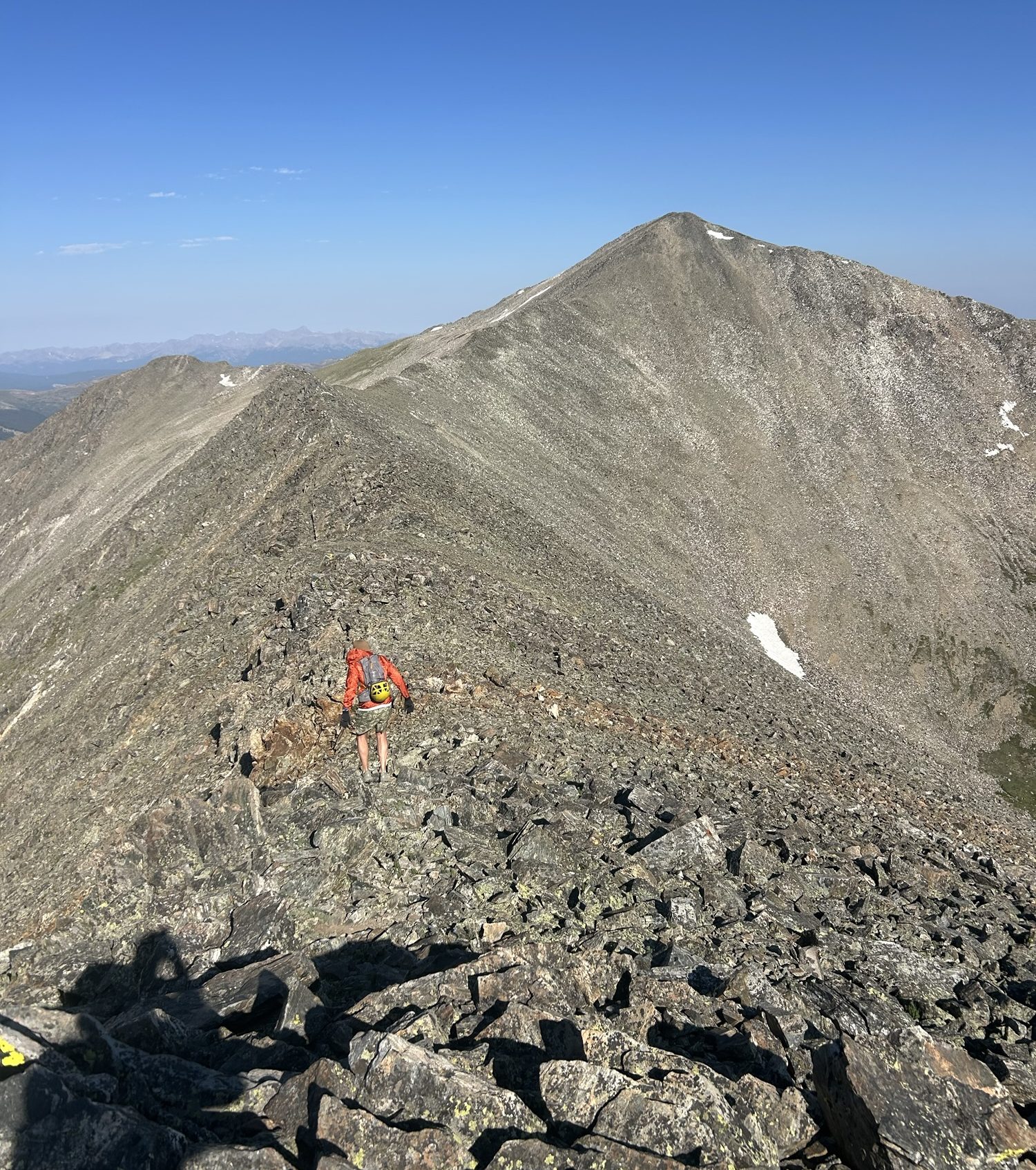
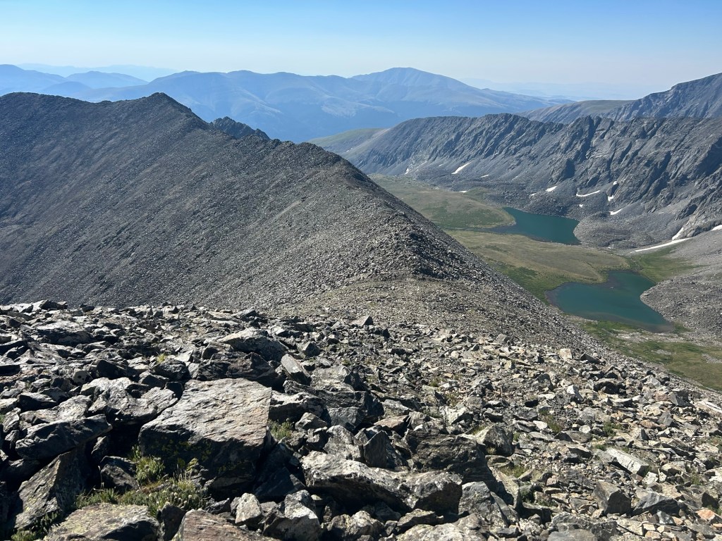
We parked at the lower lot because, again, we didn’t want to risk damaging the rental car. We started the road walk at 5:16AM. It was about a mile to the trailhead. This picture makes it look lighter than it was, but we didn’t need our headlamps.We turned right at the sign and into the woods. It was nice to have a trail through a forest. We did not have that for the DeCaLiBron and Grays Peak/Torreys Peak hikes.After about a mile in the woods, we turned onto a 4×4 road and walked about another mile to Lower Crystal Lake. This is looking back toward the east. John had way more energy than me and led the way all day.Father Dyer Peak is in view. That’s our first objective.Father Dyer Peak and the class-3 ridge. You can see the “bumps” we’re going up and over. The final bump is not the summit; that’s to the left when you get up to the ridge.Donning our helmets as we start. Of all the people that we saw, we were the only ones wearing them. Despite this, I’m glad to have had it, as someone who was following another hiker. Even with space, John could have accidentally kicked a rock down onto me. It’s generally recommended that people wear helmets on class-3 hikes and beyond. Though they looked solid, some of the rocks moved when grabbing them. It was good to learn this on the simple part.A couple of the “bumps” are in view.Upper Crystal Lake and some exposure.Looking down a gully. Can’t see the bottom.For me, this was the sketchiest section, though this photo does not do it justice. We gripped the side and leaned into the mountain as we navigated a narrow path. I think it was under two feet; John says between two to three feet across. Whatever it was, it was tight, and there was a significant drop-off to the right.This is the spot of the sketchy section where you climb a chute to reach the ridge again. Below you there is more exposure than on the narrow path. Luckily, there were good hand/footholds. I always checked before putting my full body weight on anything and tried to keep three points of contact at all times.John is cruising up this. Whereas I thought this was more nerve-racking than Longs Peak, John thought this just fun and not scary.I’m maneuvering around a block, and it is a complete drop to my left. I just have to focus on what is right in front of me. I purposefully took this photo with my leg in view to give some kind of scale to the exposure. It’s like walking on a knife-edge. Looking back from where we came.Once you get over all of the bumps, you look left and see the actual summit. It looks worse than it is to get over there. This photo is on the summit of Father Dyer Peak. Crystal Peak is on the left, and Peak 10 is on the right.
Our options from Father Dyer Peak were to head back the way we came (from the beginning, we knew we were not doing this), get Crystal Peak and descend or include Peak 10. If we were to go up to Peak 10, we could either have gone back to the saddle and followed the Crystal Peak way out, or drop down on the other side of Peak 10 and make our way back around. I committed to Crystal Peak at this point but was going to wait to see how I felt at the saddle between Crystal and Peak 10 before I added anything else. John wanted all three.
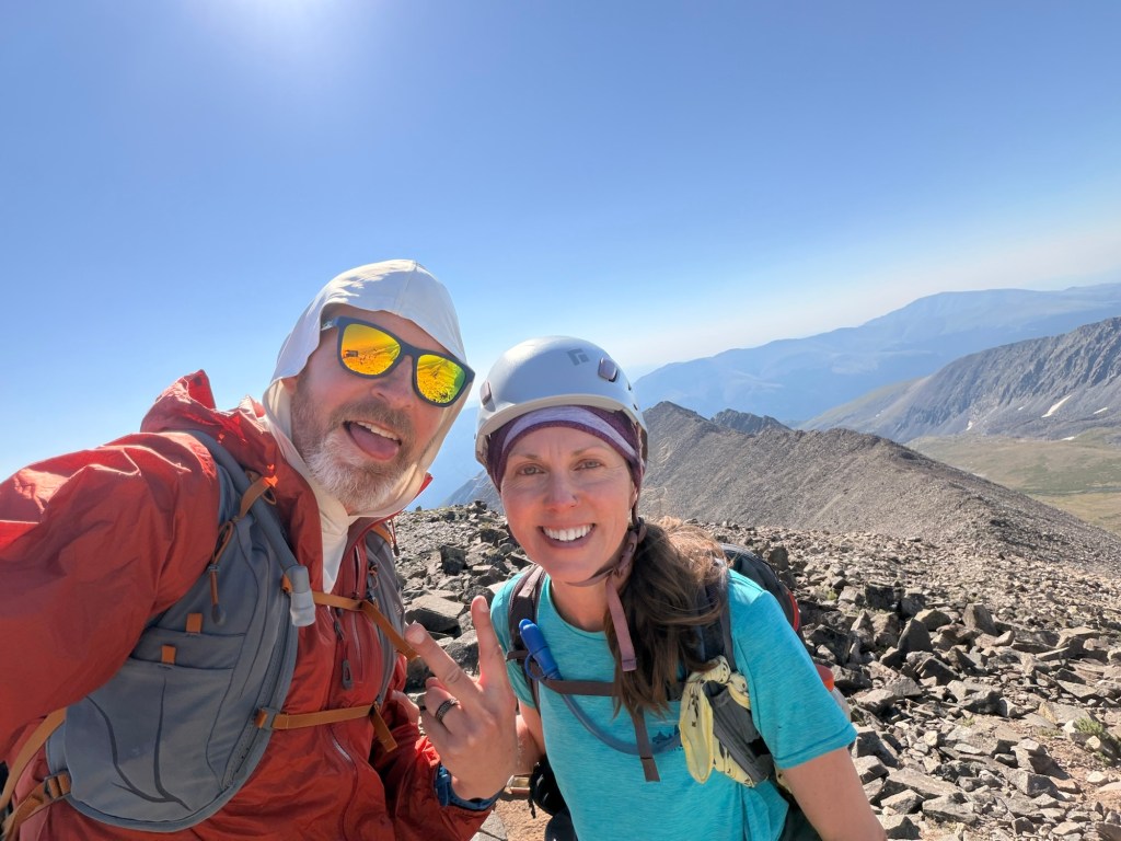
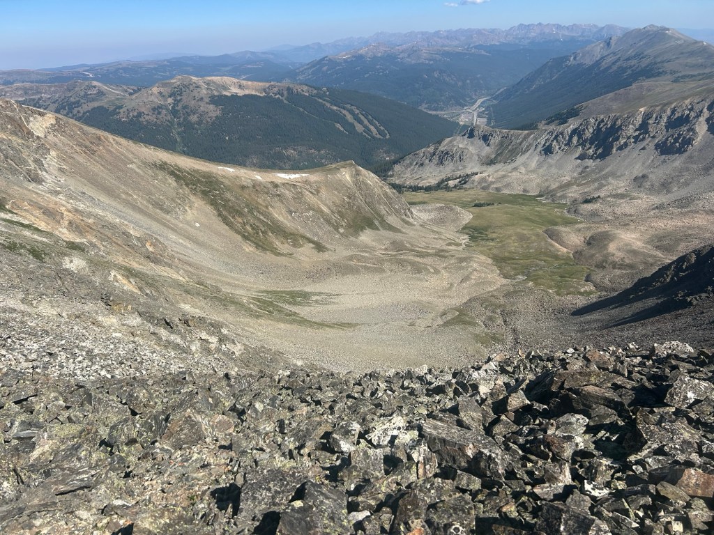
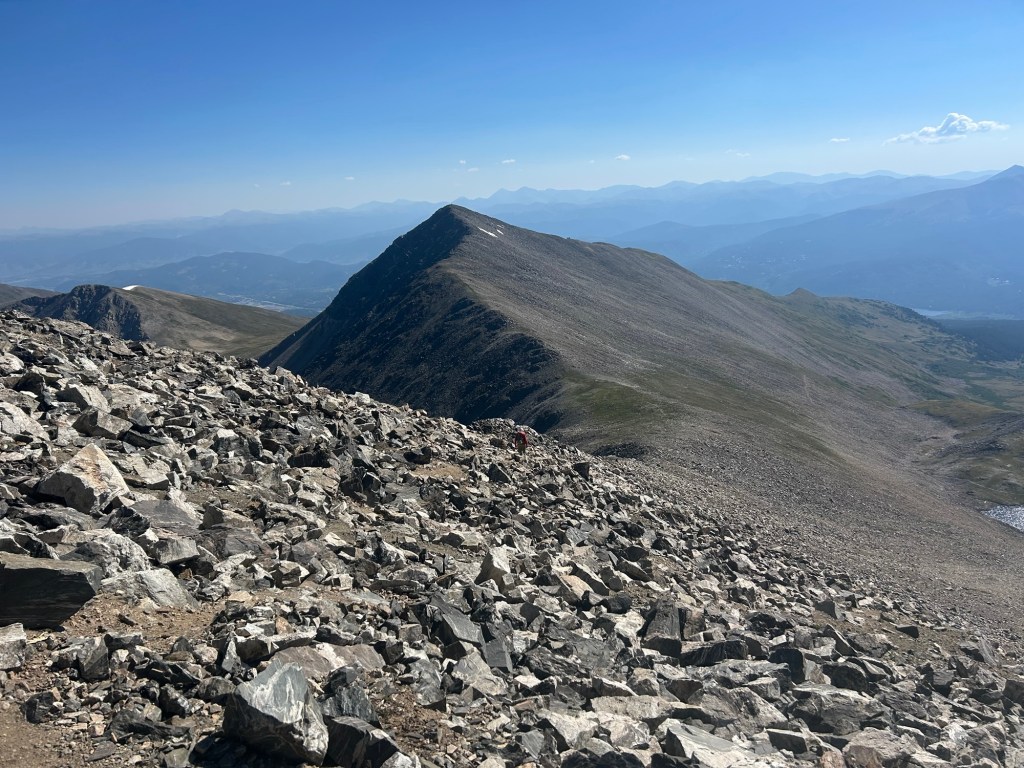
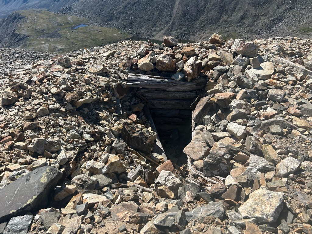
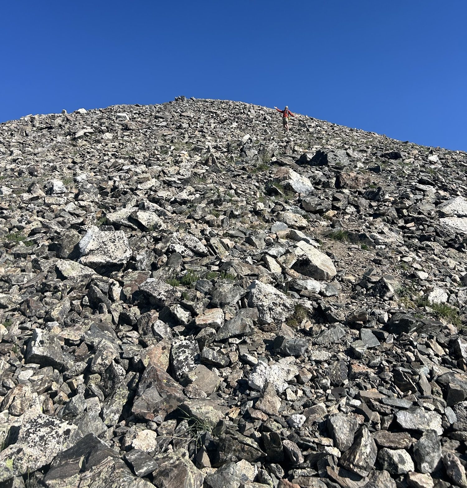
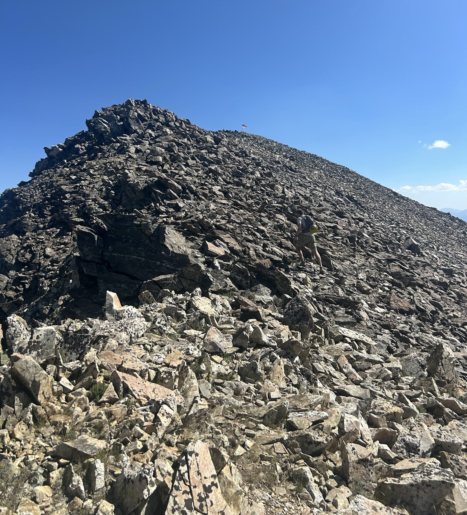
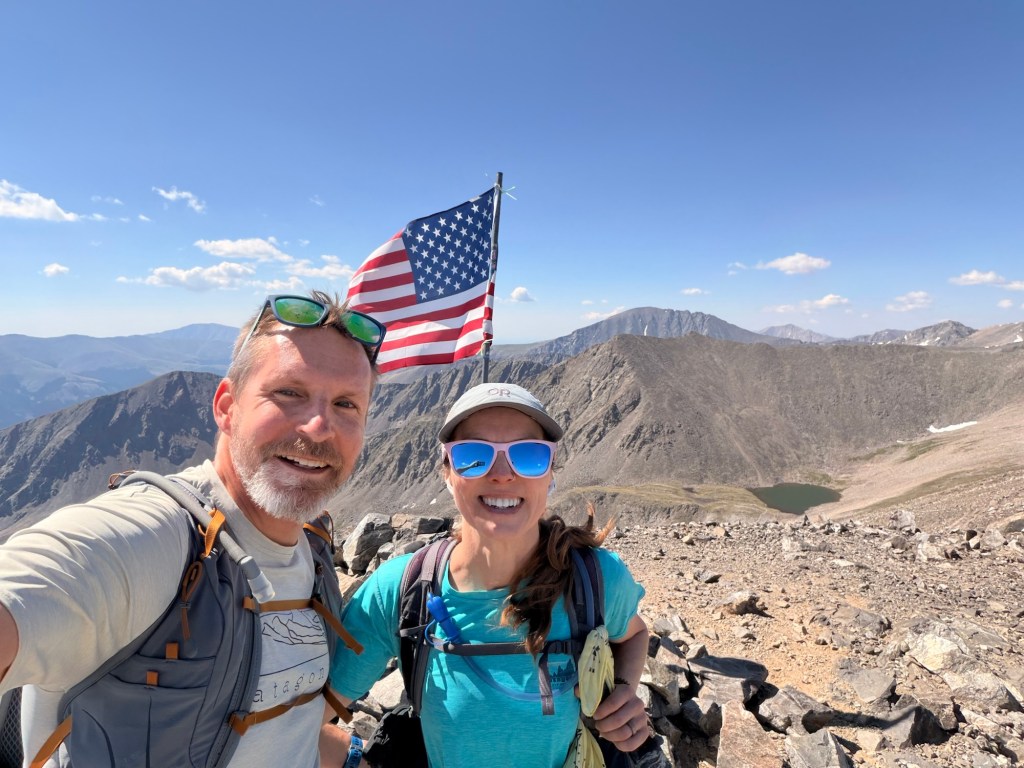
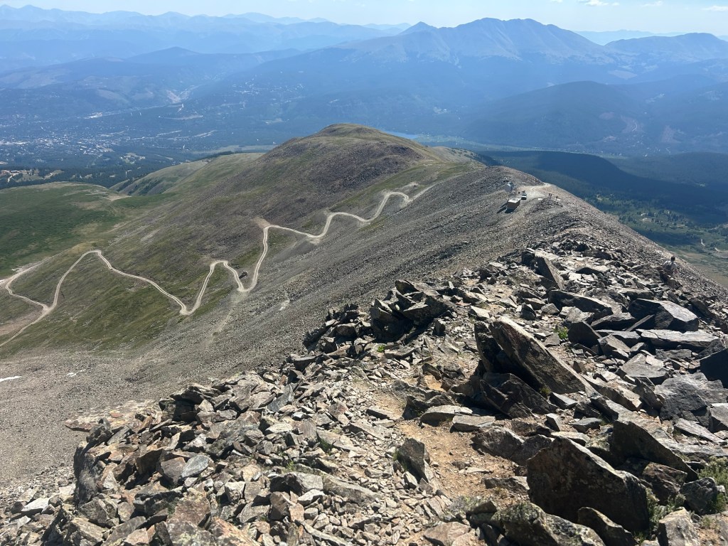
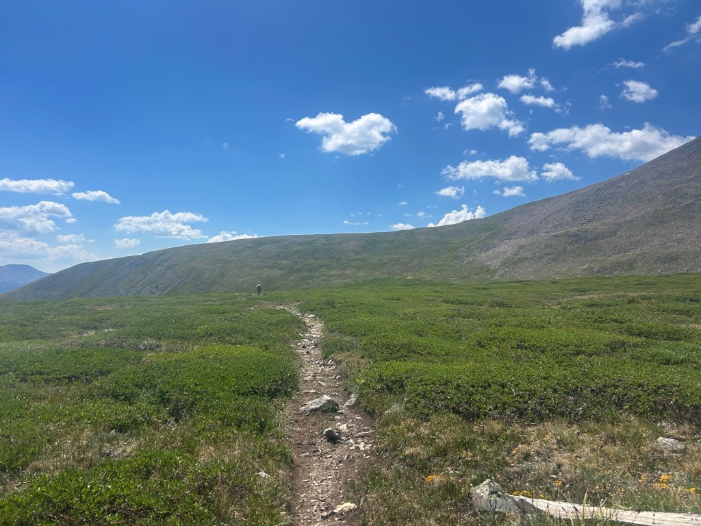
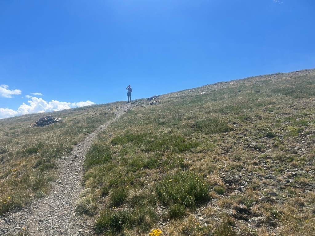
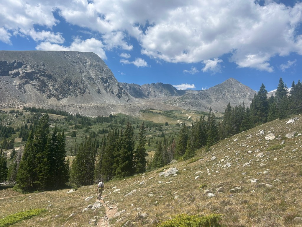
Heading over to Crystal Peak.Looking back at Father Dyer Peak. The Mohawk Lakes are in view. Getting Crystal Peak was straight-forward class-2 hiking.On Crystal Peak with Peak 10 behind us. We’re heading that way for the saddle. At this point, I told John, “Let’s do it.”View toward Breckenridge.View of Peak 10.The Briar Rose Mine primarily produced gold. I wouldn’t dare go in there, even if it wasn’t closed off.Easy peasy up to Peak 10.Getting closer. You can faintly make out the American flag on the summit. John blends right in.On the summit of Peak 10 with Father Dyer Peak behind us and part of the ridge over to Crystal Peak. The mountain behind Father Dyer is Quandary Peak.For our descent, we decided to make it an even longer day by adding miles and a little more elevation by going over this side of the mountain. We walked on the 4×4 road until a path branches off on the right. We drop a bunch of elevation before we get there, though. Two times we moved over to let folks driving their Jeep Wranglers pass by. One of the dudes admired what we were doing, saying that we were, “Bad hombres.”We left the road for the path back around to the side of Peak 10. There are spaced-out cairns with worn wooden poles to mark the way.We gained a bit more elevation, but it wasn’t bad. The sun was hot, and we were completely exposed with miles to go.Back on the side we started on. Father Dyer Peak is on the right. The ridge is in view, though you can’t tell that it’s class-3 from here.
 Adventuring with Mel and John