Saturday, July 18, 2026
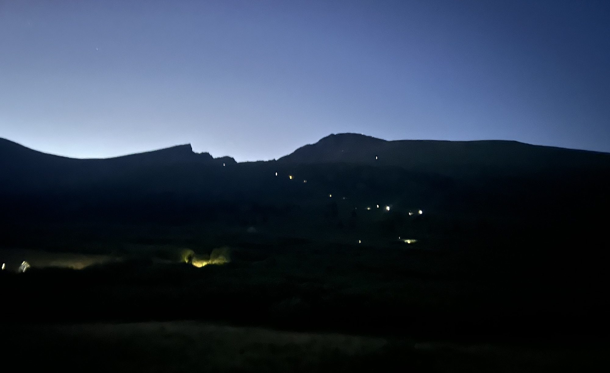
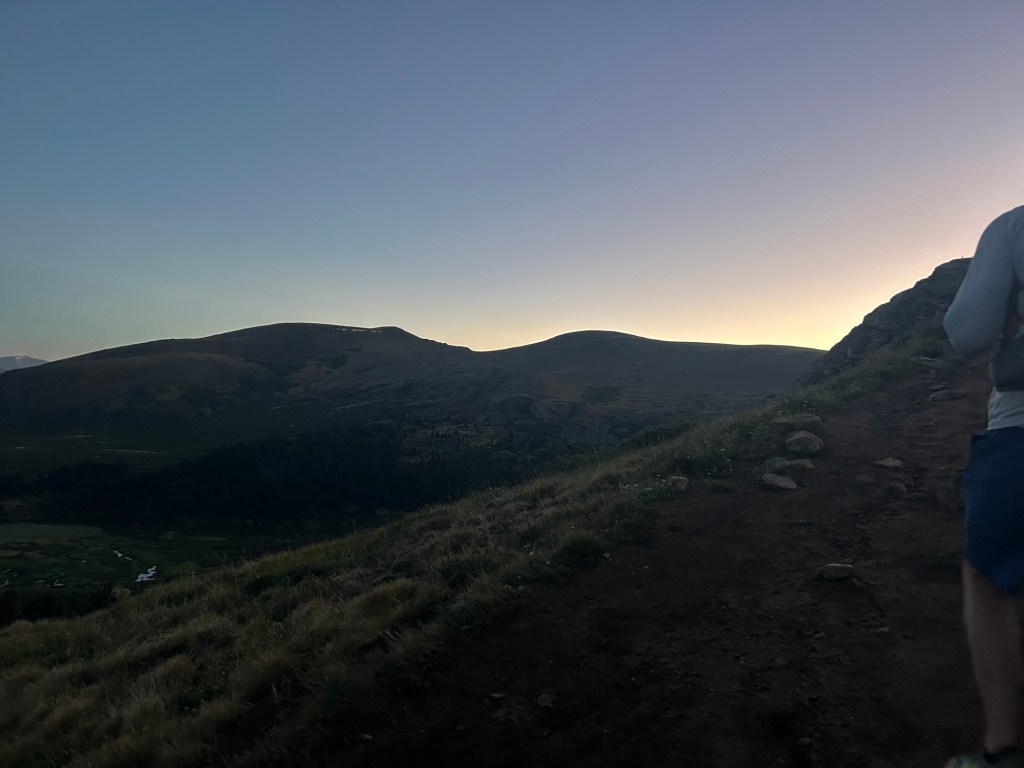
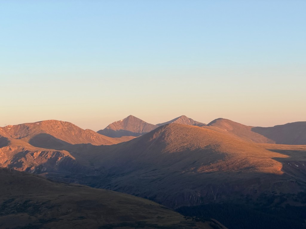
We knew this was going to be a hard day. It started with getting up at 3:15am. Since we stayed in Georgetown, the drive to the trailhead at the Guanella Pass was about 30 minutes. We went straight to the upper parking lot, not even looking to see if we could get a spot in the lower one. People were already parking on the side of the road, though the upper lot was practically empty. There were two outhouses, and after a quick visit, we were on the trail by 4:40am. Our objective for the day was hiking both Mt. Bierstadt and Mt. Blue Sky via the class-3 Sawtooth. If we’re successful, we will have completed all of the 14-ers of the Front Range.
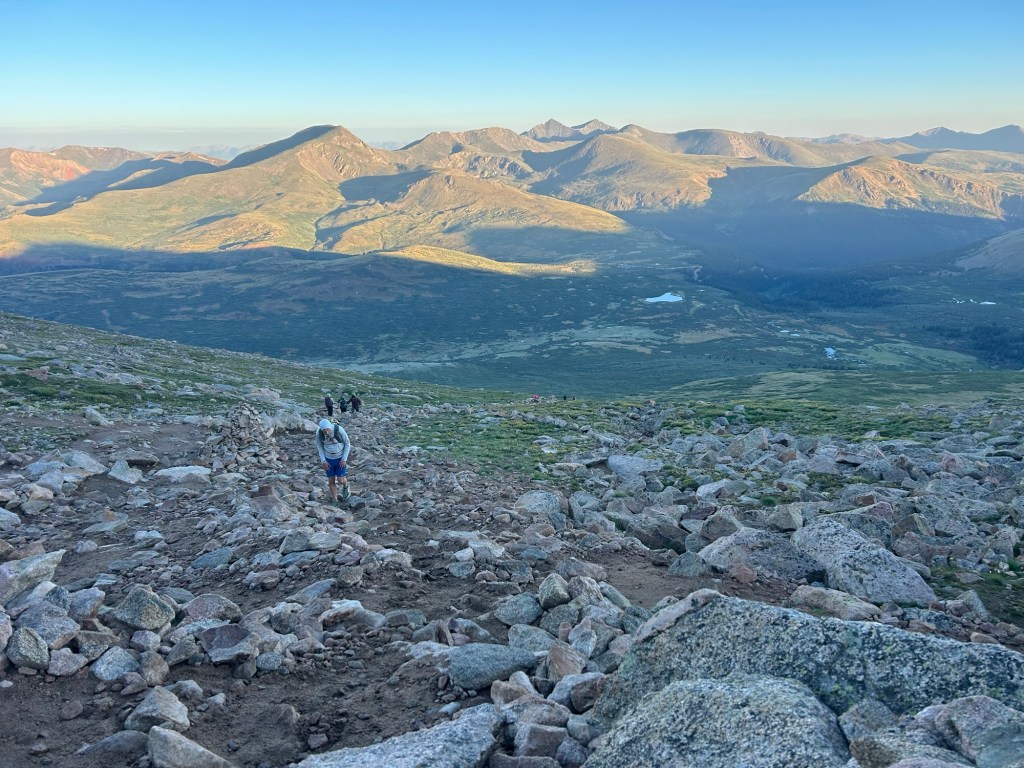
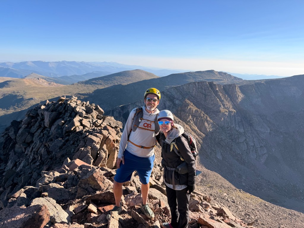
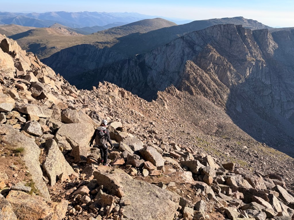
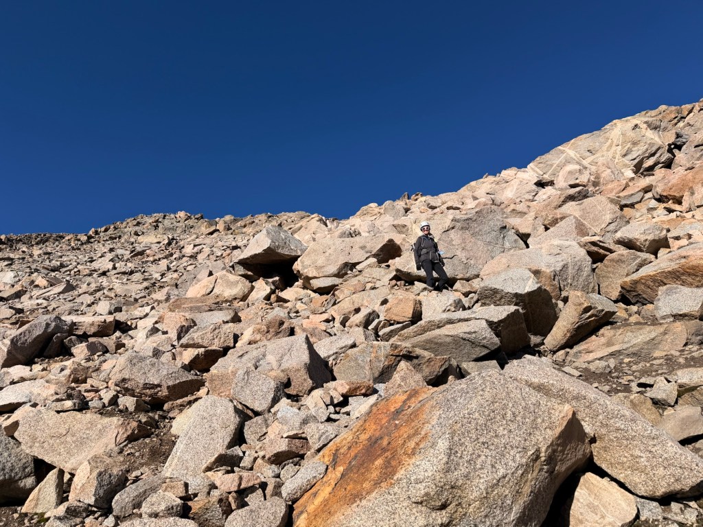
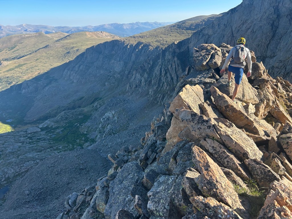
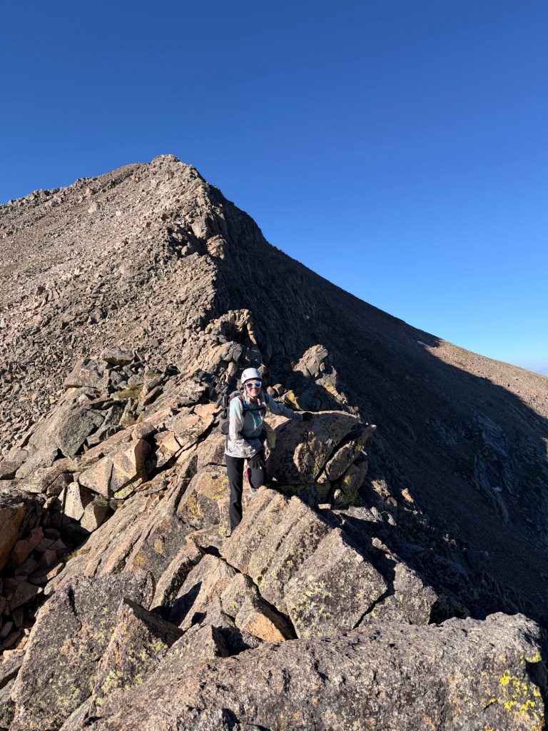
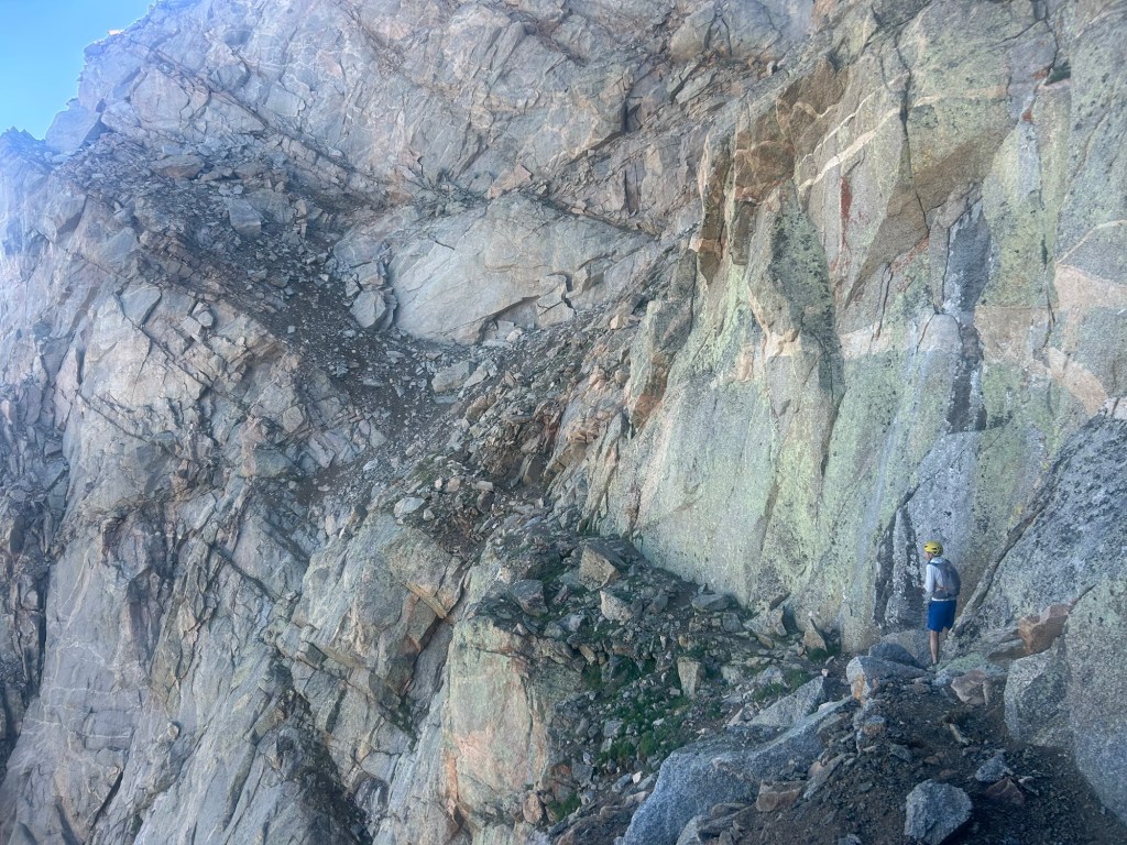
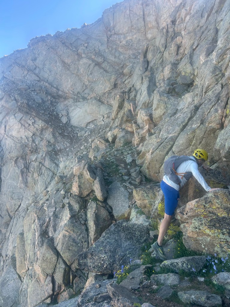
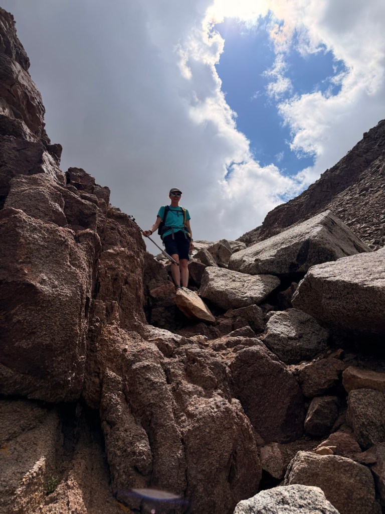
Unfortunately, there aren’t any pictures of the next section, what some consider to be the crux of the hike: the gendarme, or pinnacle of rock on a mountain ridge. There are two recommended ways to do it, and both involve class-3 moves. You can go over the top or around the side; the top is steeper. Up close you can see how tricky it is. John scouted for me by first going up and over, as the way was more obvious. He called down to me that it’s doable, but he had to reach on some of it. Since he’s quite a bit taller than me, I decided that I’d try to go around. He backtracked to where I was and went up what he thought was the less-direct way. It turned out to be somewhere in between the direct and in-direct route, but from above, he could see the way for me to take, or so he thought.
Looking from below to where he was, I thought I found the way up to him. I got stuck and couldn’t go farther. At this point I started feeling scared. I had to turn my body around to down-climb, while making sure that my bag did not bump me off. In these situations I can’t help but imagine the worst, so I totally envisioned myself falling and landing on my face into sharp rocks. It’s a horrible curse, but maybe it helps?
I successfully climbed down to where I started, and looked up again. This time I shifted to the right, which looked doable until I got stuck again. This was even worse to down-climb, so I had to continue climbing up. I hate to admit it, but my fear was full-on. I asked John to keep talking to me; he told me that I’m doing great, even though neither of us could see each other. I knew I couldn’t go down, so I collected myself and took the risk. Luckily, the handholds were good, and the rock was solid and secure or I would have been screwed. I had to use all of my upper-body strength to lift myself high enough to place a knee and pull myself up. John and I could finally see each other.
Once I was “safe,” I had a panic attack. John kept a hand on my shoulder as I hyperventilated. Eventually, I got my breathing under control, though my legs were still shaky. This had NEVER happened to me before. I have NEVER been this scared. Turns out that we were not on the go-around route. Did I find myself in a class-4 spot? I don’t know, but despite this, I knew that we’d keep going.
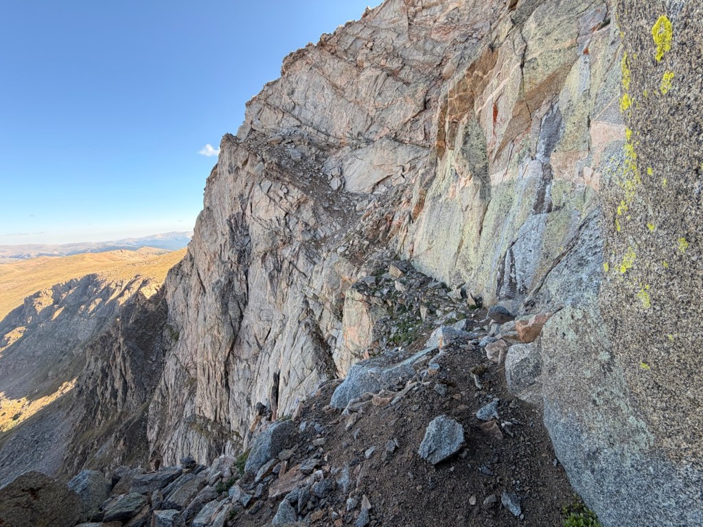
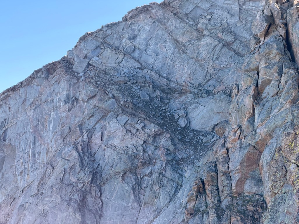
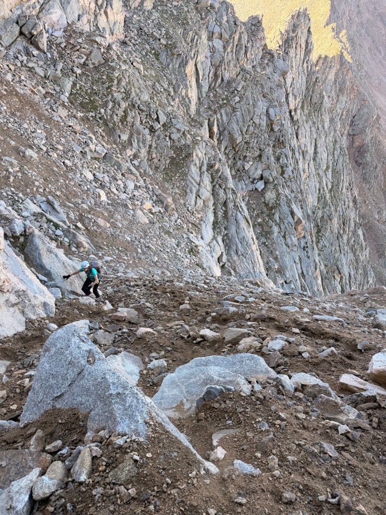
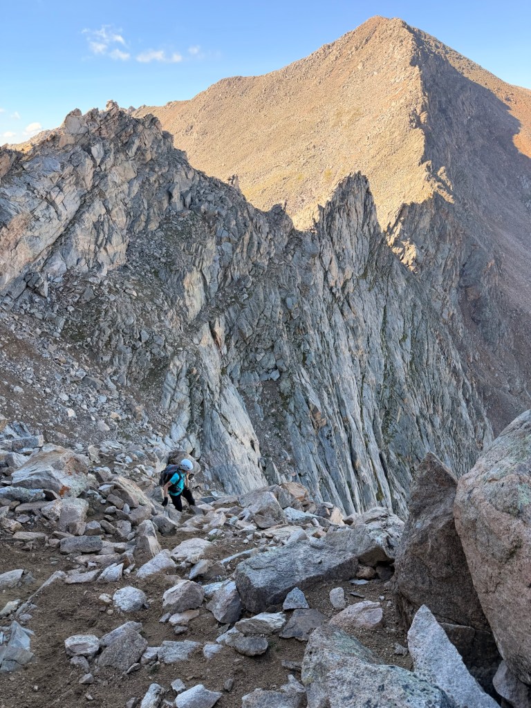
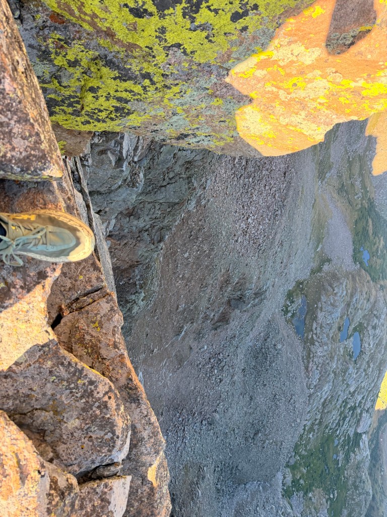
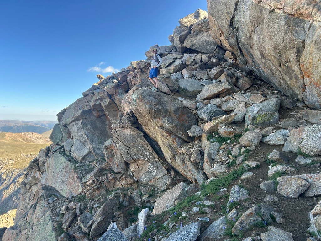
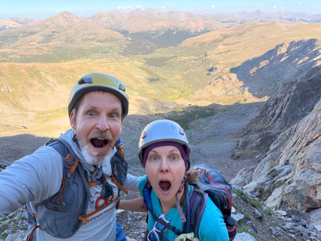
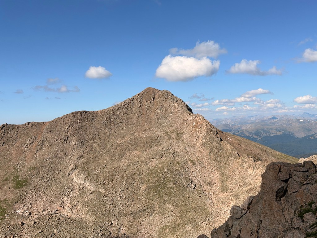
The next part of the hike was getting to the summit of Mt. Blue Sky. For some reason I was under the impression that it was a “walk in the park.” Oh boy, it wasn’t. For one thing, I should have eaten something. The last substantial thing that I ate was on Mt. Bierstadt, just about two hours ago. I had some energy chews during the Sawtooth section, but that was only 190 calories. I thought the summit was closer than it was. I got so grumpy when we kept going and going. This is a time when I wish that the trail was more efficient and went directly to the summit, instead of the gradual switchbacks. I could have just made my own path, I supposed, but the path of least resistance was to follow the cairns and stable ground, instead of the talus that could shift under your feet. Take my advice: eat before your tank is empty; it will make it a safer and more enjoyable day.
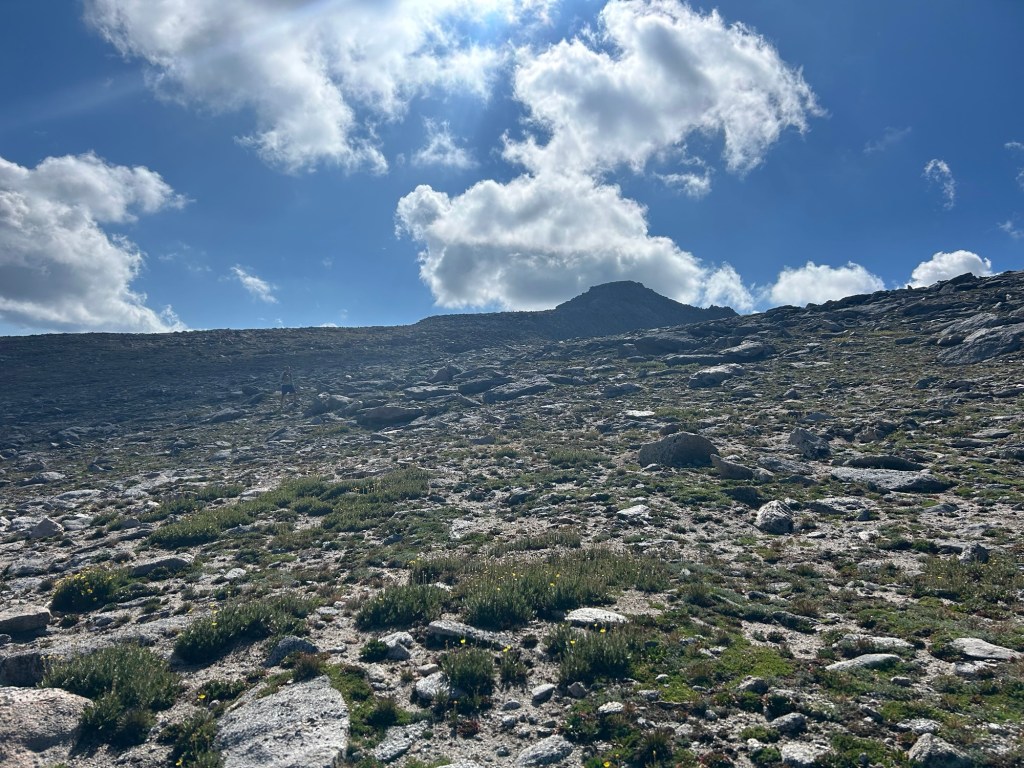
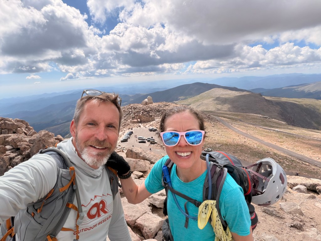
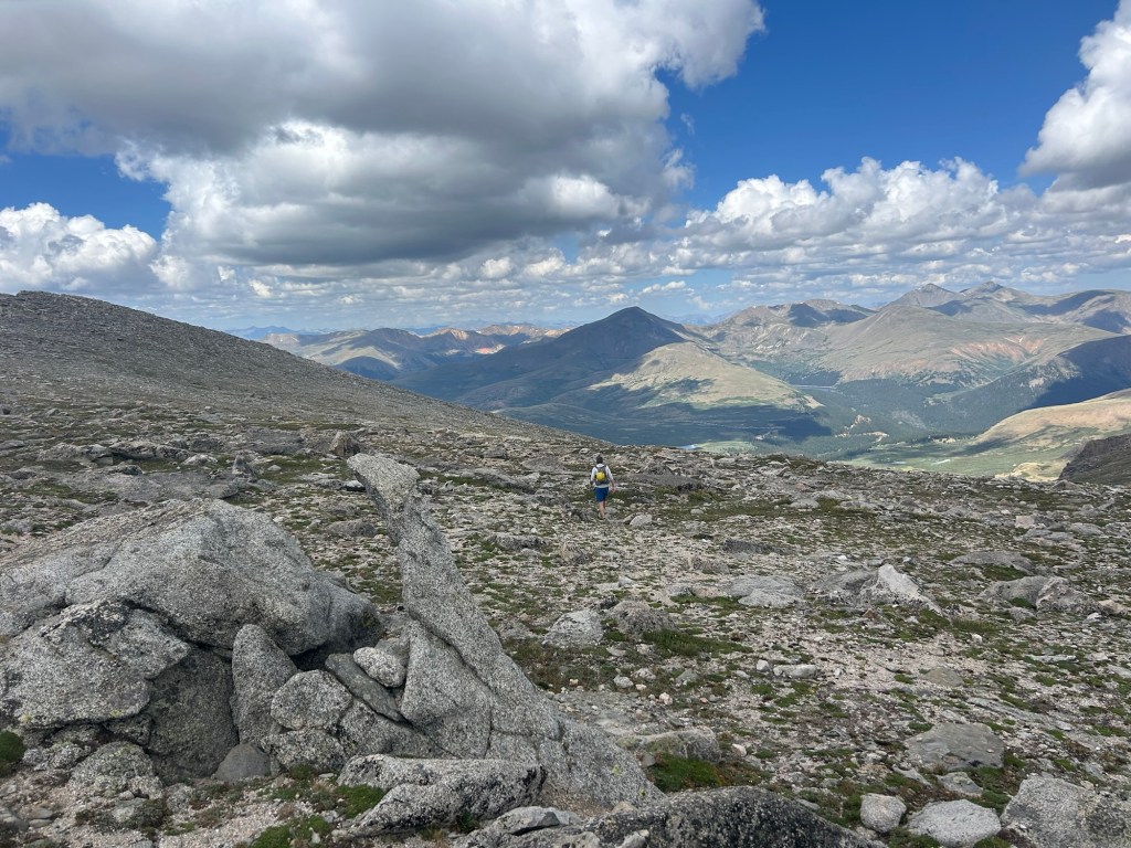
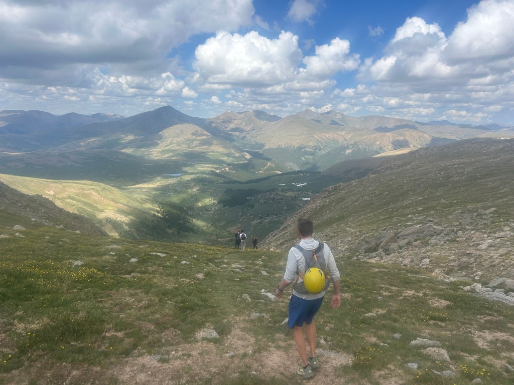
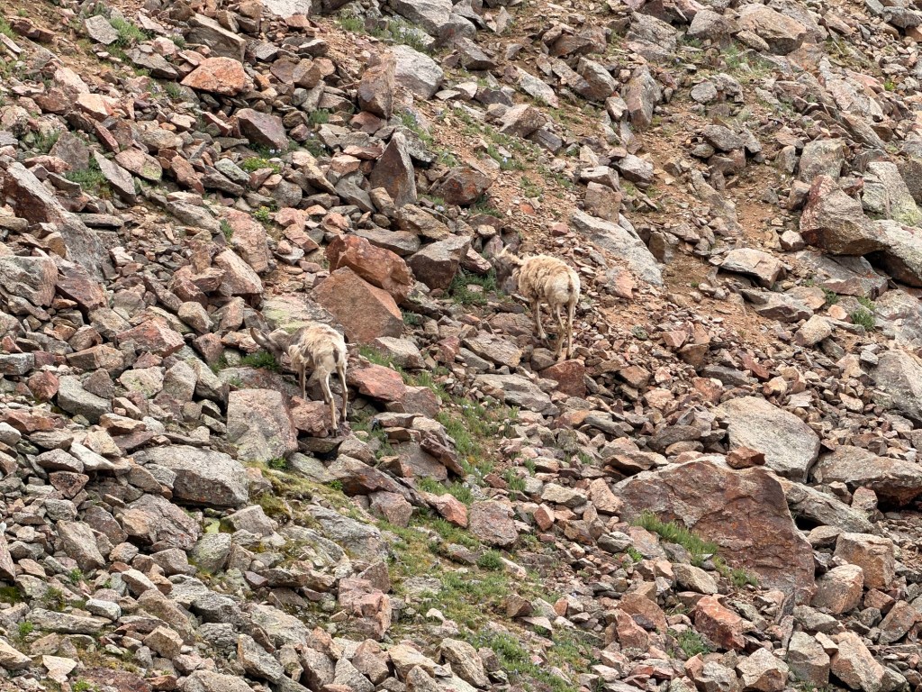
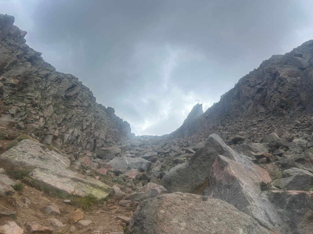
On our way down, we came across a couple of young guys resting on some rocks. They told us that their plan had been to get Mt. Blue Sky starting at the Mt. Bierstadt trailhead and going through the willows, the next section of our hike. They lamented that it had taken them five hours to get to where they sat, and they weren’t planning on going any farther. They said that the willows were awful, that they walked through mud up to their hips. Others’ reports on AllTrails were mixed: some said that the willows were the worst part of their day and had them questioning their life decisions; others that it wasn’t as bad as people were saying. Soon, we’d make up our own minds.
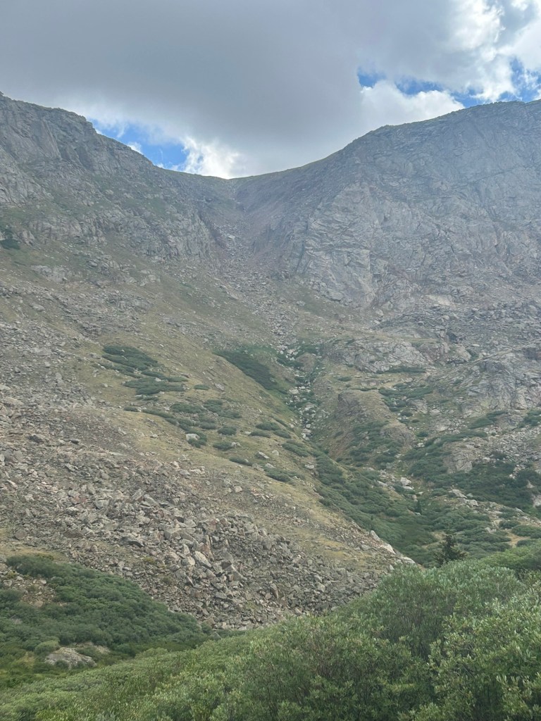
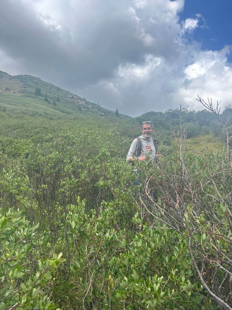
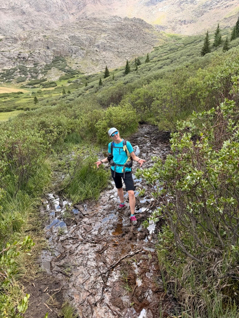
The path through the willows eventually rejoins the Mt. Bierstadt Trail. Then you only have a quarter mile or so to go (a little longer for us because we parked in the upper lot). There’s a water crossing that I walked through to clean off some of the mud. Even though we were flying out early the next morning, I knew that my shoes and socks would dry quickly if I put them on the dashboard and let the strong Colorado sun heat them up. Works like a charm.
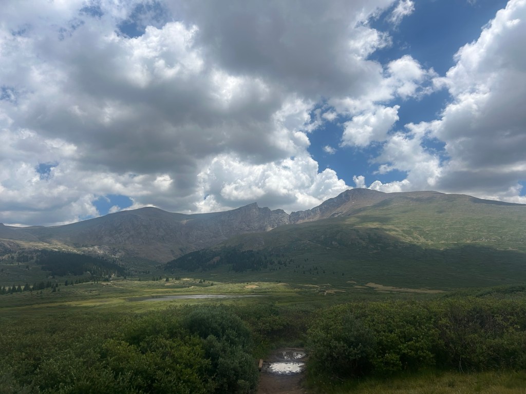
Getting Mt. Bierstadt and Mt. Blue Sky meant that we completed all of the 14-ers of the Front Range. We went home feeling very accomplished, adding two more class-3 hikes under our belts (Longs Peak via the Keyhole was the first), and now have 19 of the 58 mountains over 14,000 feet.
STATS
- 12.1 miles
- 4,300′ elevation gain
- 8 hours
Other hikes you might like:


One response to “Colorado 14-ers – Mt. Bierstadt & Mt. Blue Sky”
[…] along the way. Inevitably, the trail gets rougher. I was still kind of freaked out from the Sawtooth-crux incident, so I did not climb up this HUGE erratic boulder. I try not the go up things when I can’t see […]
LikeLike