Saturday, August 15, 2026
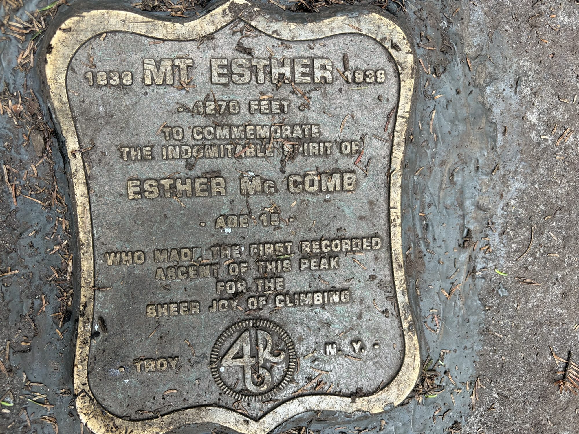
Since this was the third day in a row of hiking in the Adirondacks, we wanted a hike with less miles and decided on Whiteface and Esther. We went to bed Friday night with the plan of waking early to get a spot at the SUNY Atmospheric Sciences Research Center, where the majority of people start. We knew it would be busy on a Saturday with beautiful weather forecasted.
Our target time to wake up came and went, so we adapted our plan. We’d still hike Whiteface and Esther, but we’d begin at the Bear Den Trail, accessed at the Whiteface Mountain Ski Resort. We parked next to the only other car in the lot.
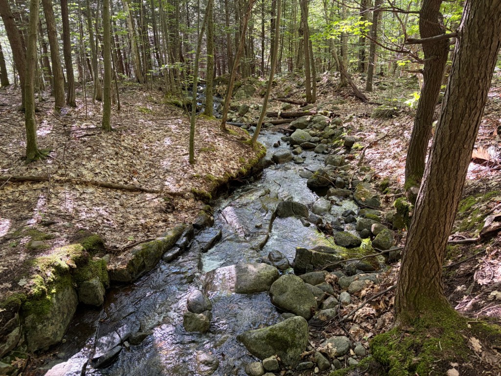
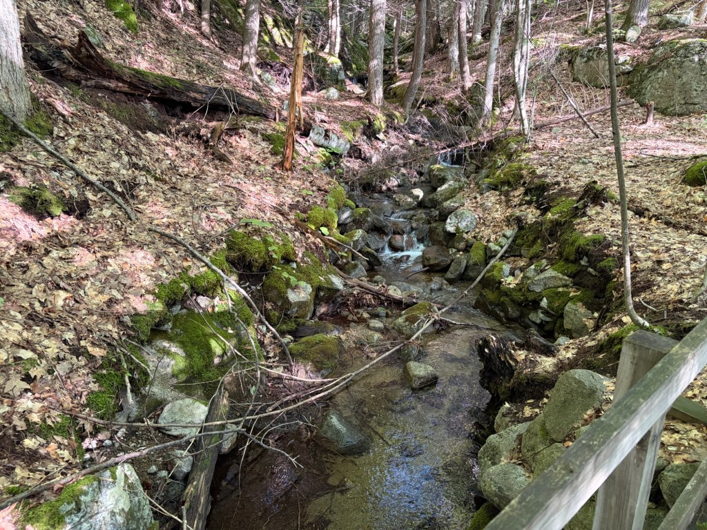
I noticed that the Adirondacks seem to have more bridges over water than in the whites, at least with the trails that we were on. I’m sure that it’s different for the mountains that are bushwhacks.
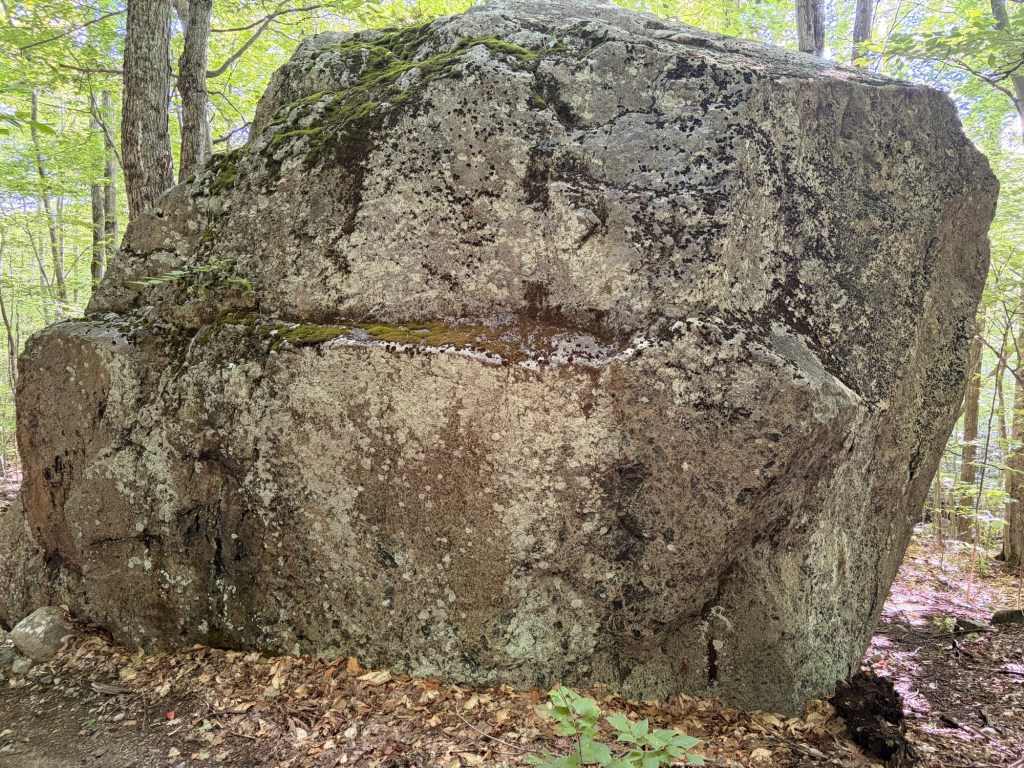
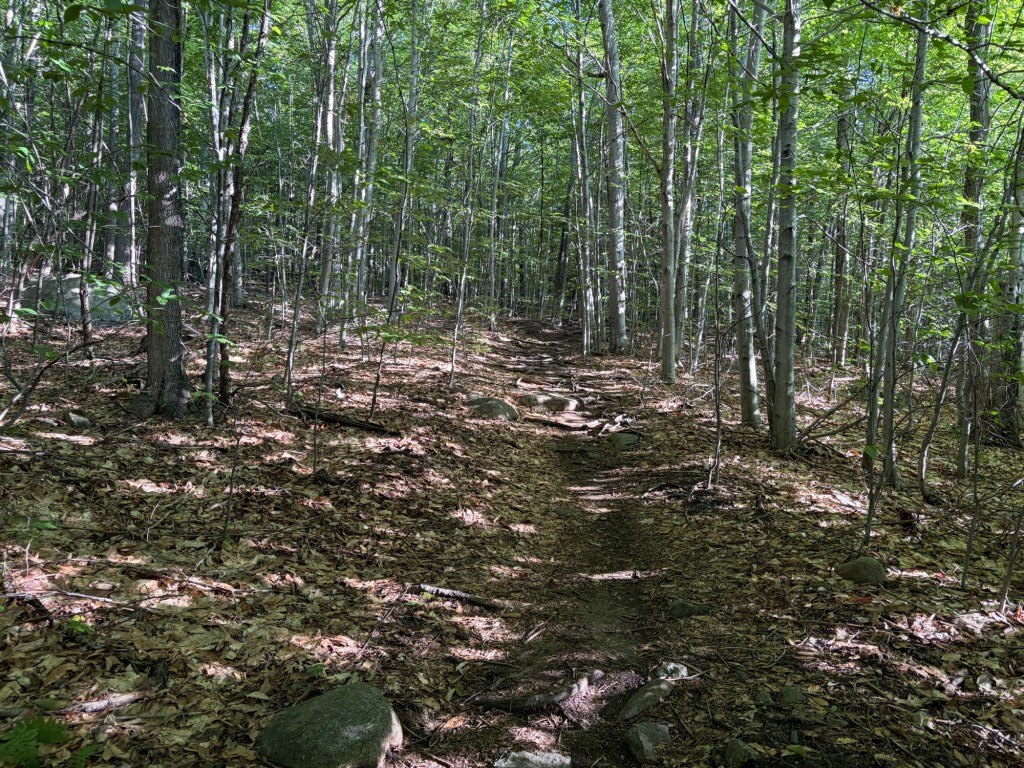
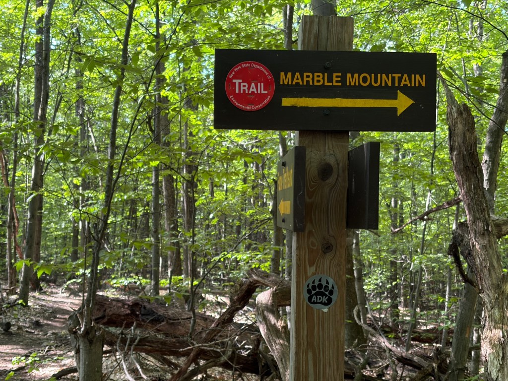
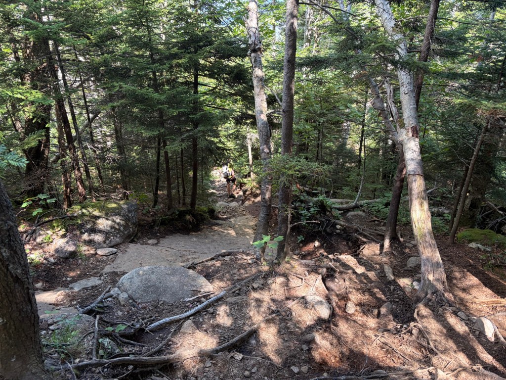
From the parking lot you start on the Bear Den Trail, but you soon bypass the trails that will get you to Bear Den or Flume Knob. Nice and easy, you walk on the Ridge Trail for what seems like forever. Since these are mountain-bike trails, we’re not really gaining elevation. It’s not until we reach the sign pointing to Marble Mountain that we finally feel like we’re hiking and not just walking in the woods.
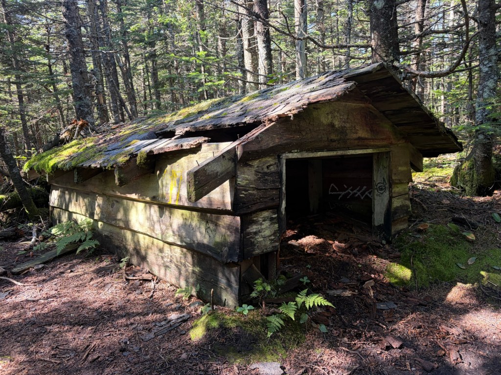
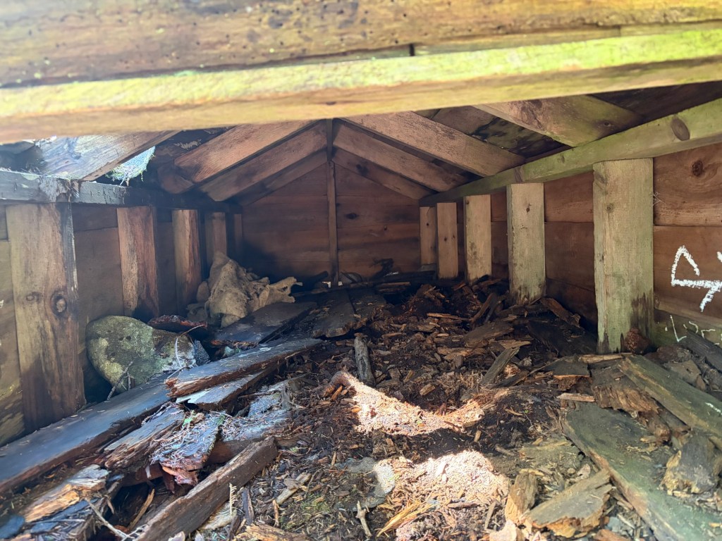
Soon after we turned onto the Wilmington Trail we passed by an old ski patrol toboggan shed. I’m sure it was useful at the time, but now it looks creepy.
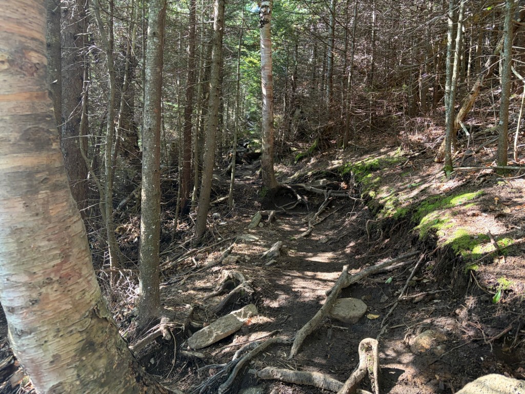
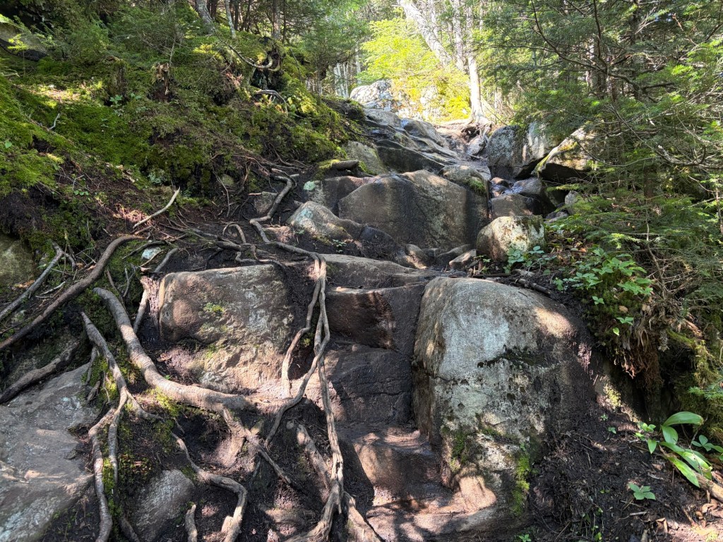
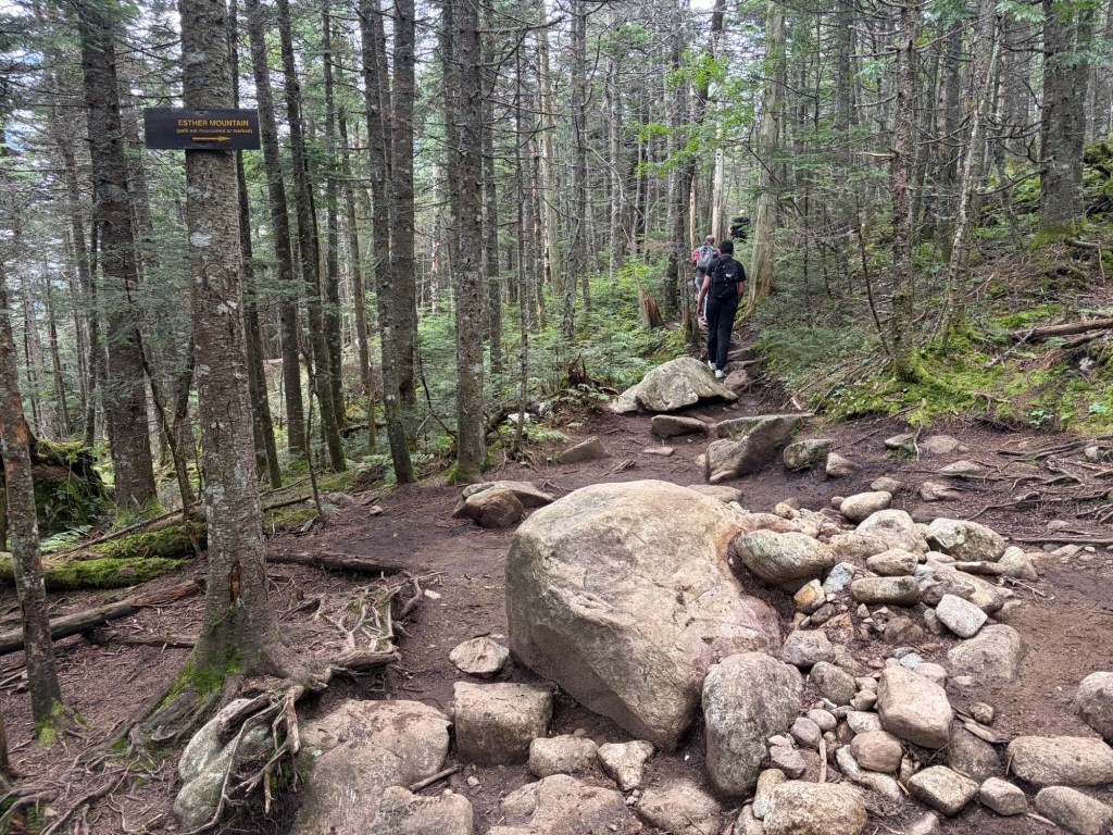
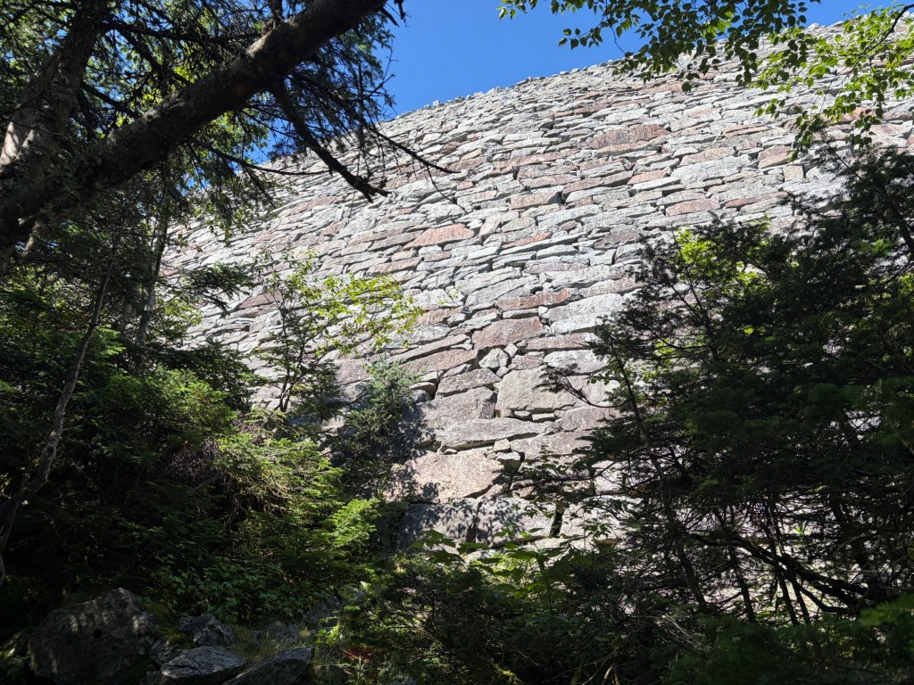
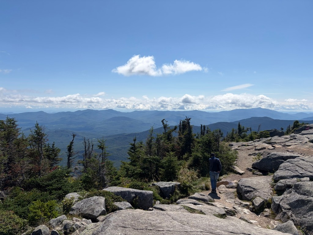
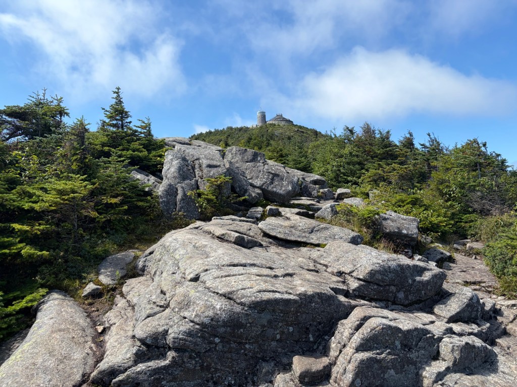
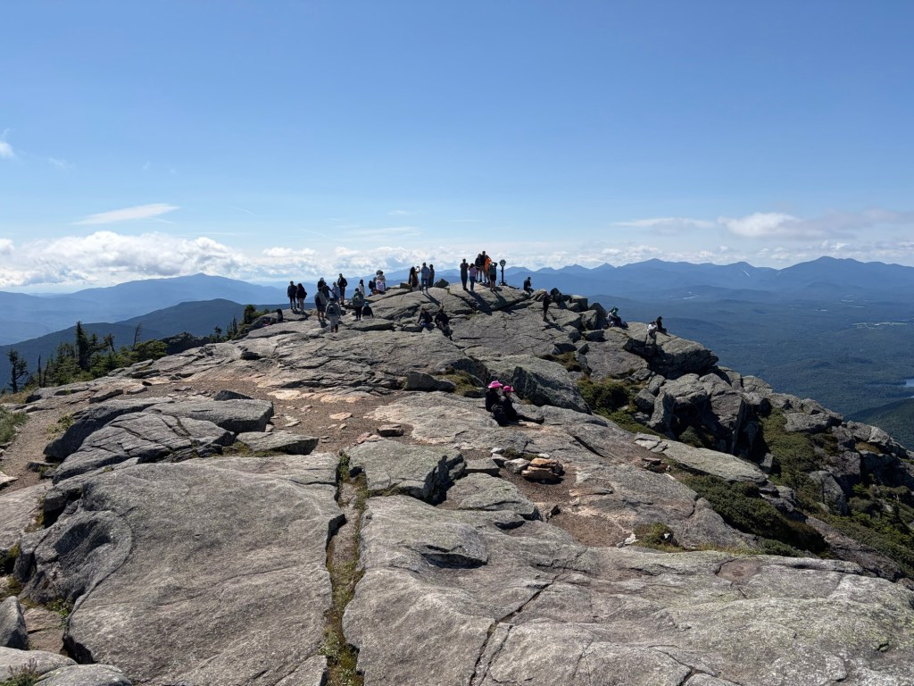
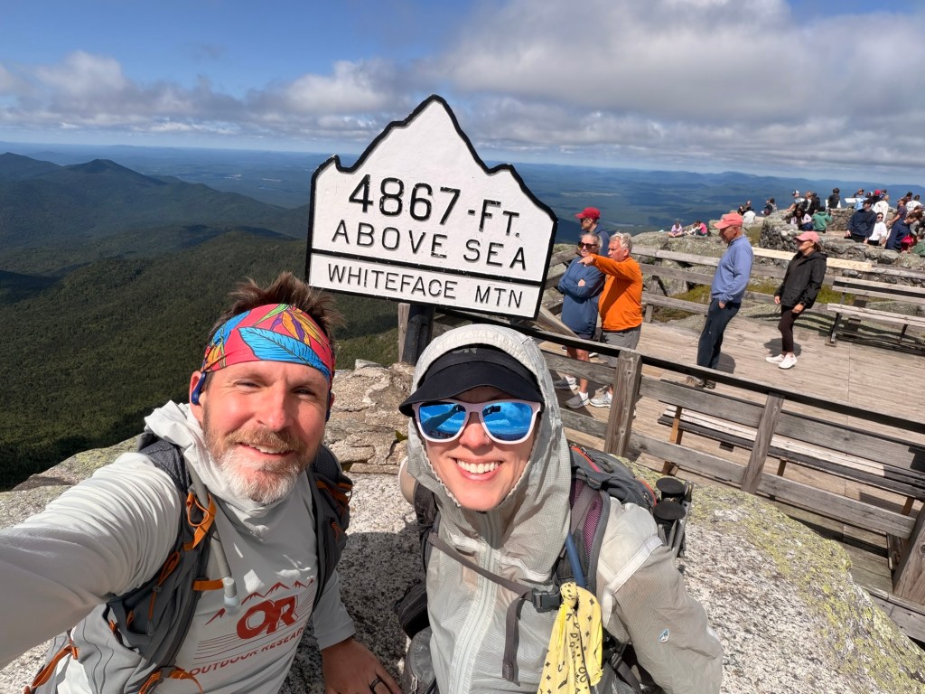
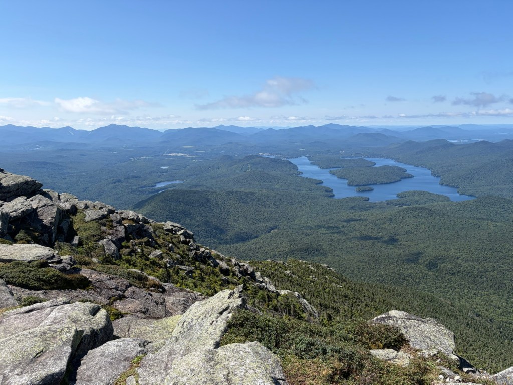
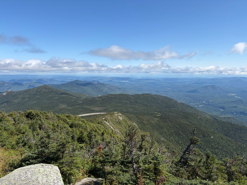
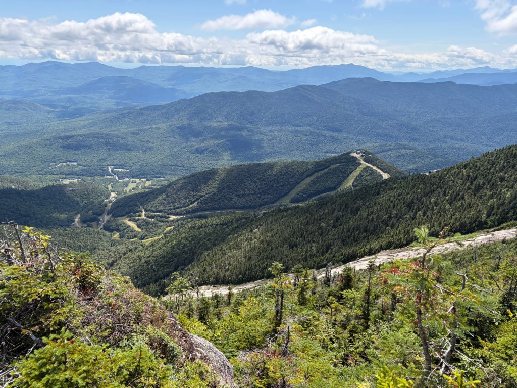
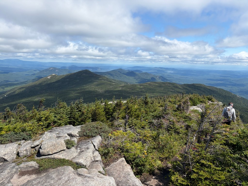
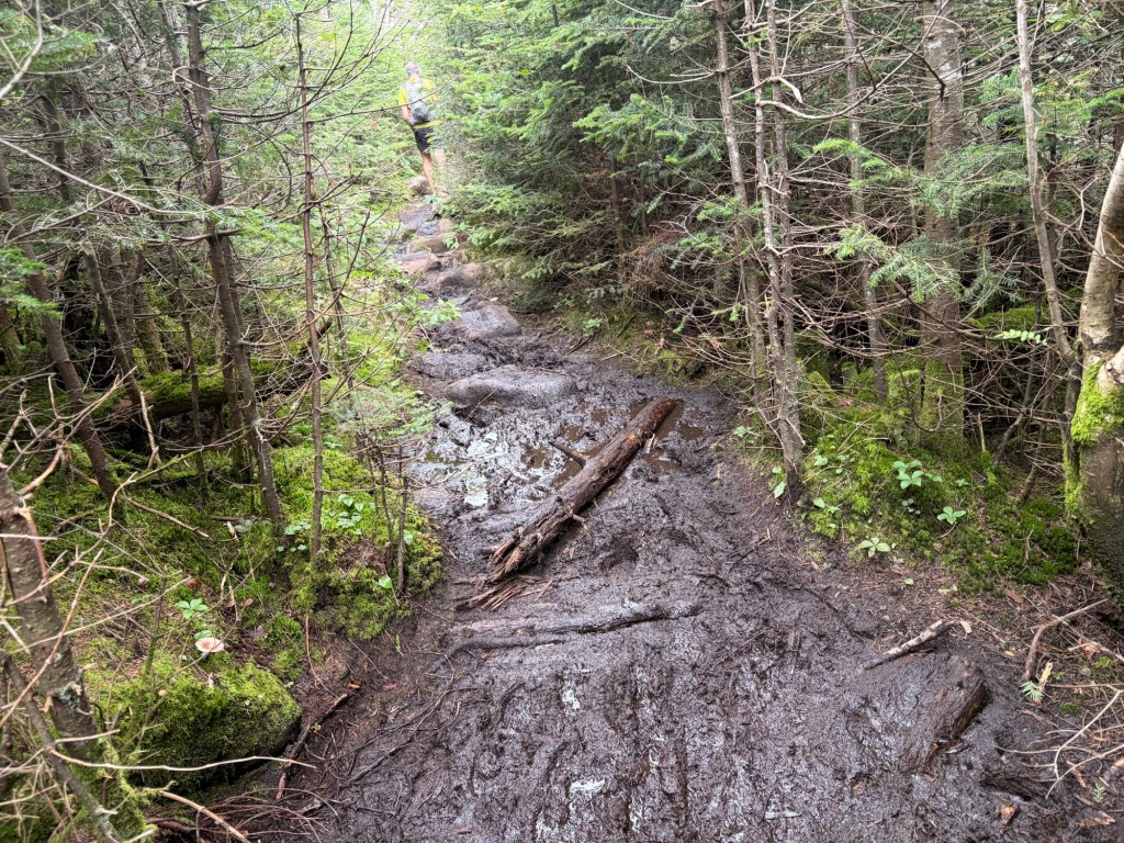
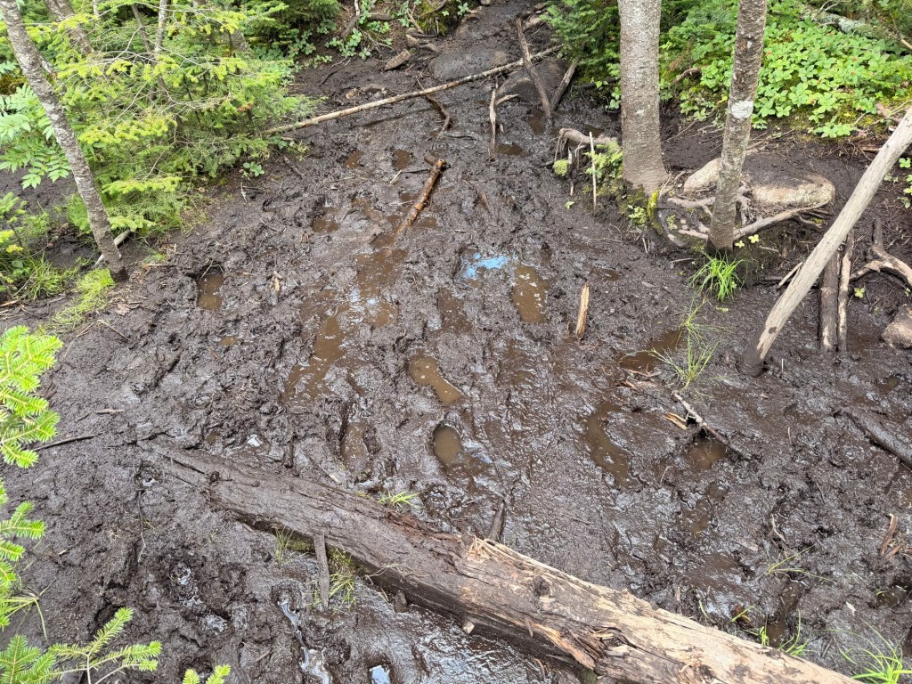
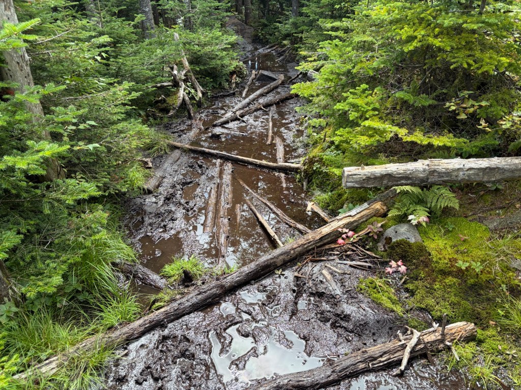
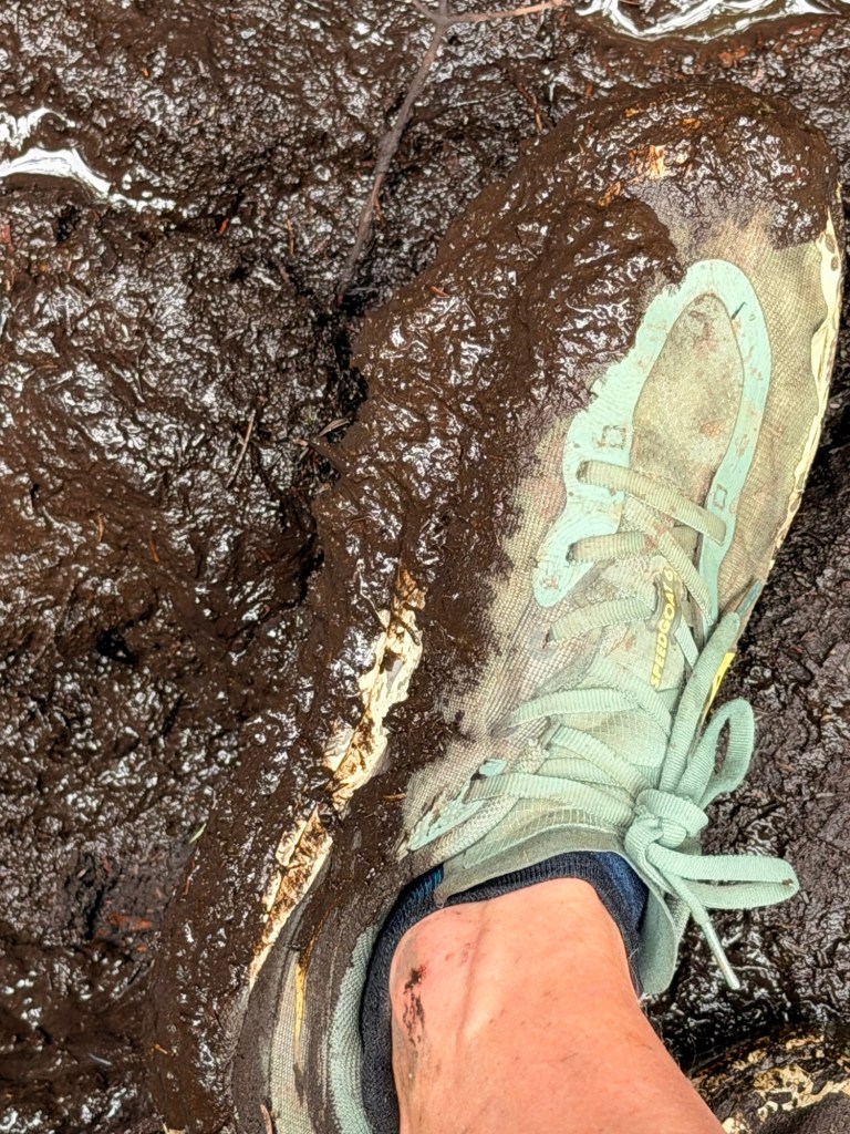
Now, it may be recency bias, but I can’t think of a muddier trail than the Esther Herd Path. Maybe if it was a maintained trail it would have been better, though there was plenty of mud to deal with on our hikes up Colden and then Algonquin and company the previous two days.
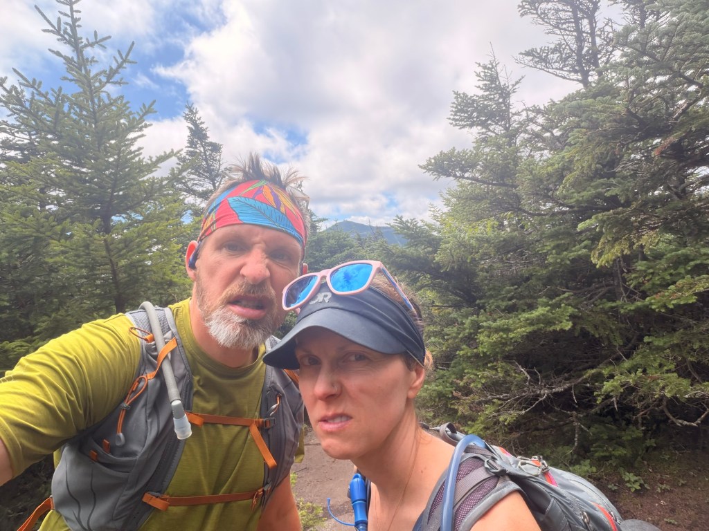
I like to play this mental trick where I’m in, say, Survivor, and I have to get through all of these obstacles; the mud just happens to be one. It worked for a while, but the mud seemed relentless. By the time we got to the summit, I was grumpy, especially knowing that we had to do it all again.
STATS: 14 miles; 4,800 ‘ elevation gain; 7 hours, 37 minutes

