NH White Mountains – Mount Isolation via Ammonoosuc Ravine Trail
Saturday, August 22, 2026
We needed a more interesting way to get to Mount Isolation. Typically, hikers will head up and down the Rocky Branch Trail. Some will take the Glen Boulder Trail for more elevation gain and a spectacular view above treeline. We chose to start at the Ammonoosuc Ravine Trail to avoid driving to the other side of the mountains, and it would give us the mileage we wanted to stay in shape for the Great Range Traverse. Plus, it’s freakin’ gorgeous.
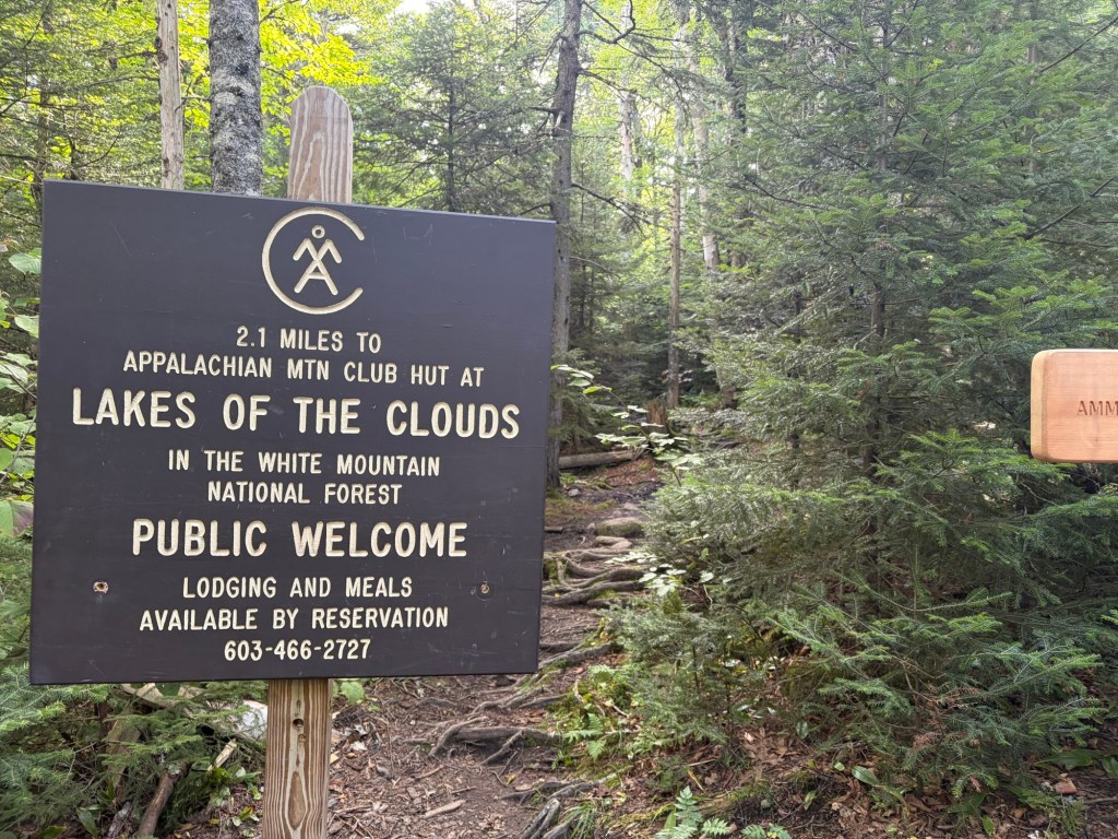
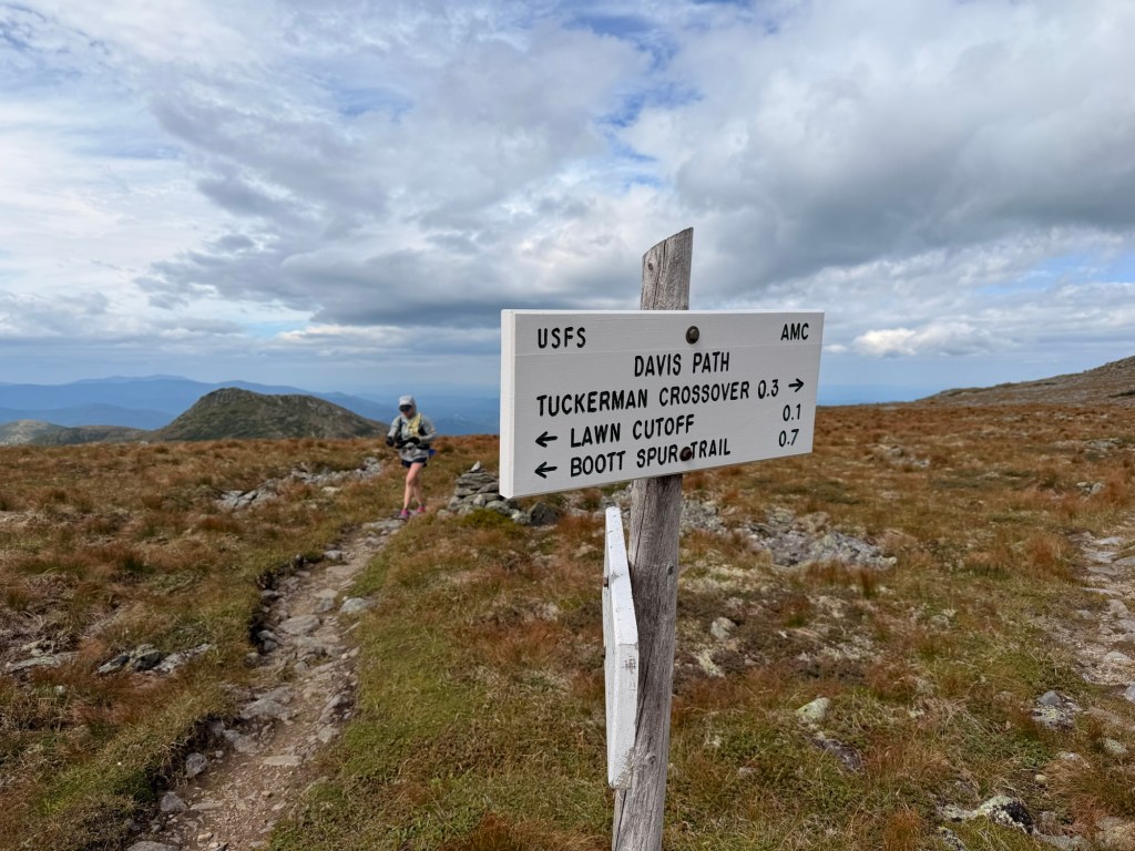
Once at the Lake of the Clouds Hut, we’d take Crawford Path toward Mt. Washington for a short distance, then turn onto the Camel Trail and eventually Davis Path. After we get Isolation, we’d reverse the way we came.
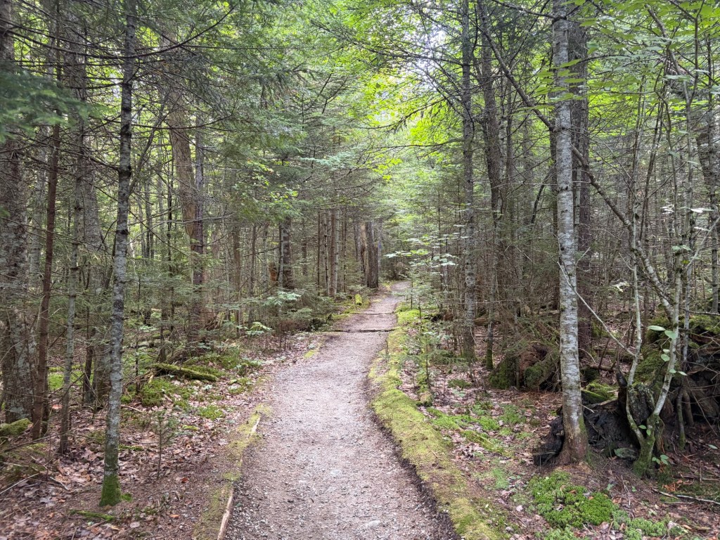
The trail from the parking lot. It was full by the time we arrived, so we parked on the road. Taking this trail on a Saturday with such a late start was going to be frustrating for us.The huts are a nice experience but quite pricey for me.
From this sign the trail to Gem Pool has been rerouted. The former trail hugged the bank of the Ammonoosuc Brook, but the trail was eroding into the river. The relocation adds mileage and elevation gain.
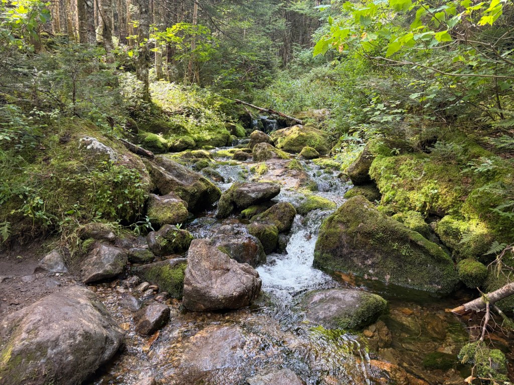
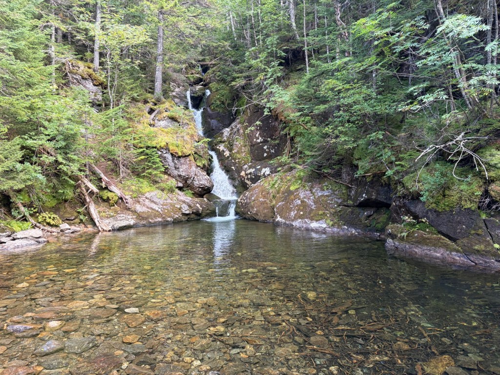
We didn’t have to pass many people on the trail UNTIL we got to the Gem Pool. There were so many people there, taking their pictures of the waterfall and asking others to take pictures of them. We wanted none of it, so we didn’t stop for our own photo evidence. We’ll get that on the way back.
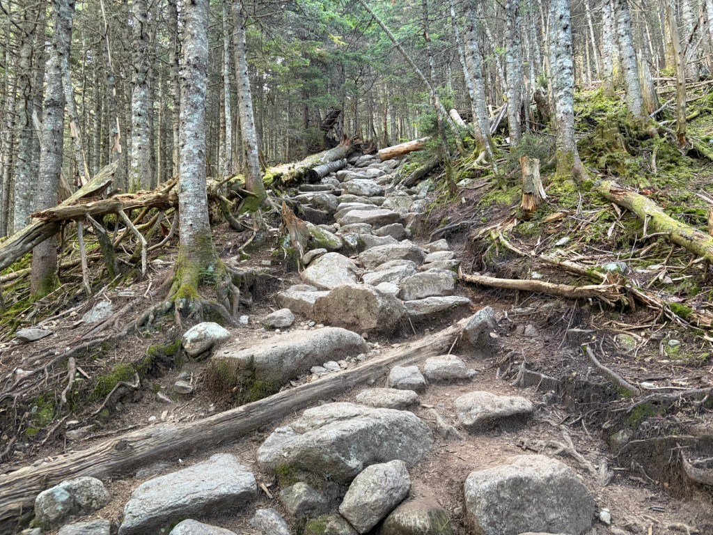
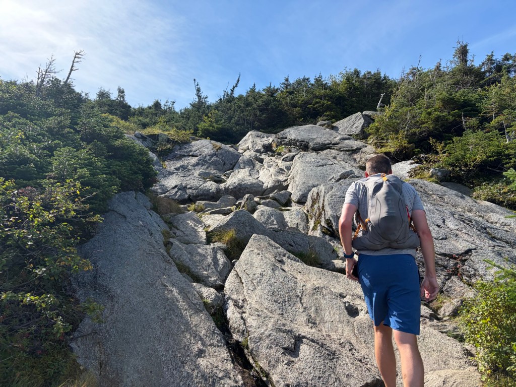
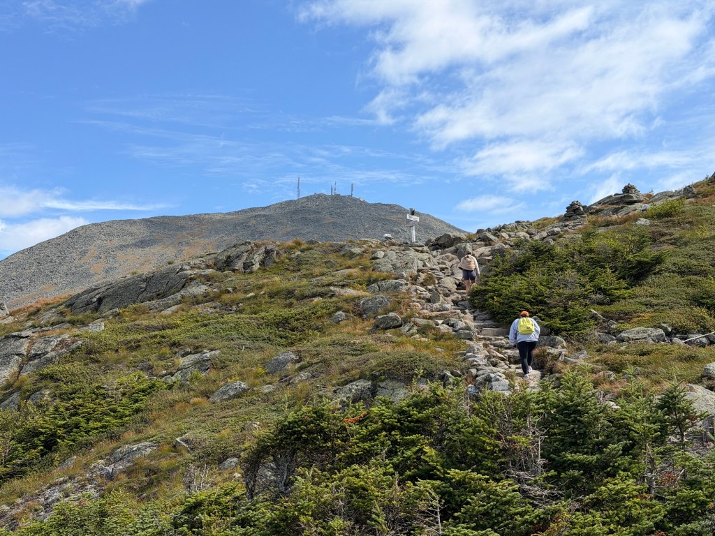
Once you pass the Gem Pool, you quickly gain elevation up the rugged trail.
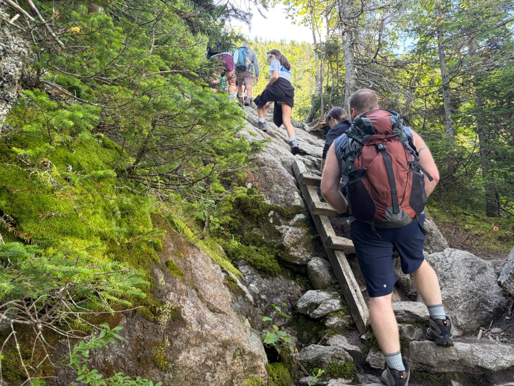
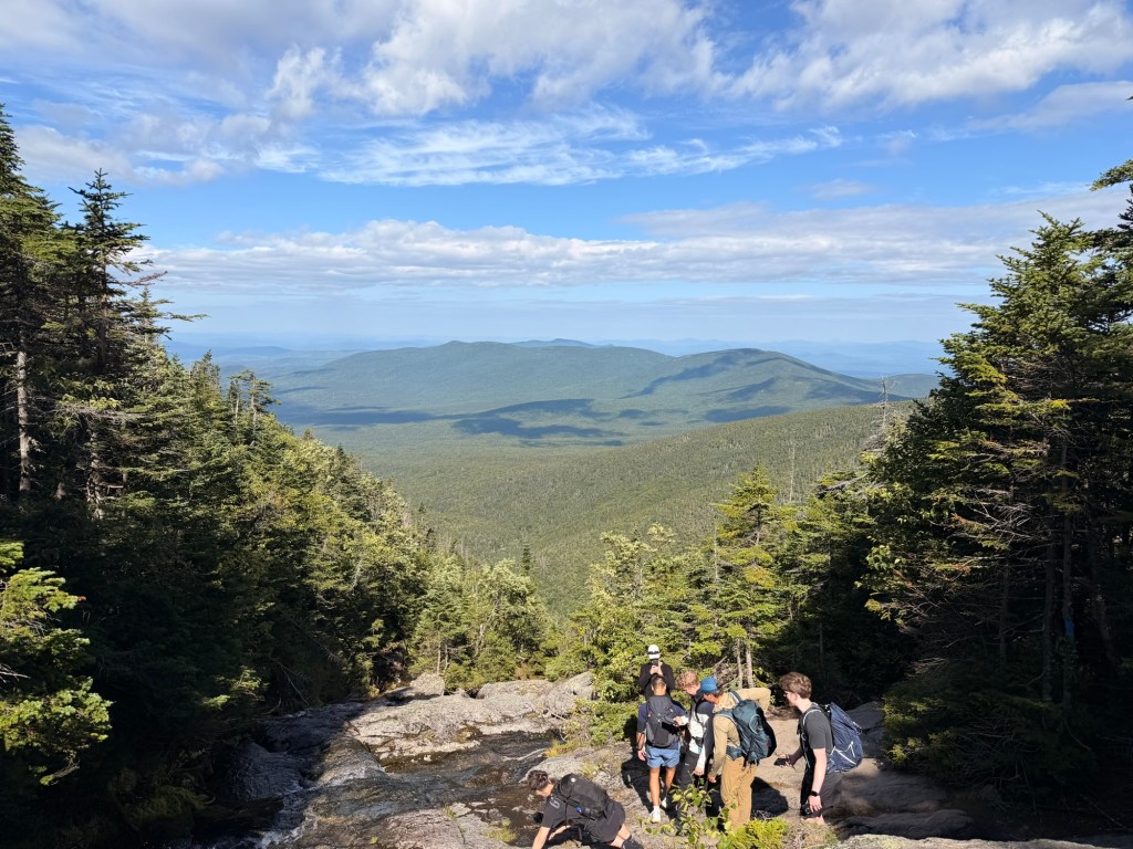
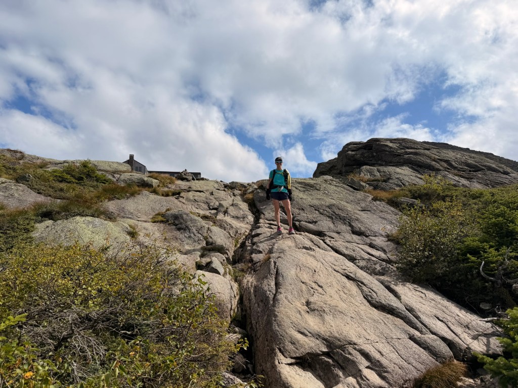
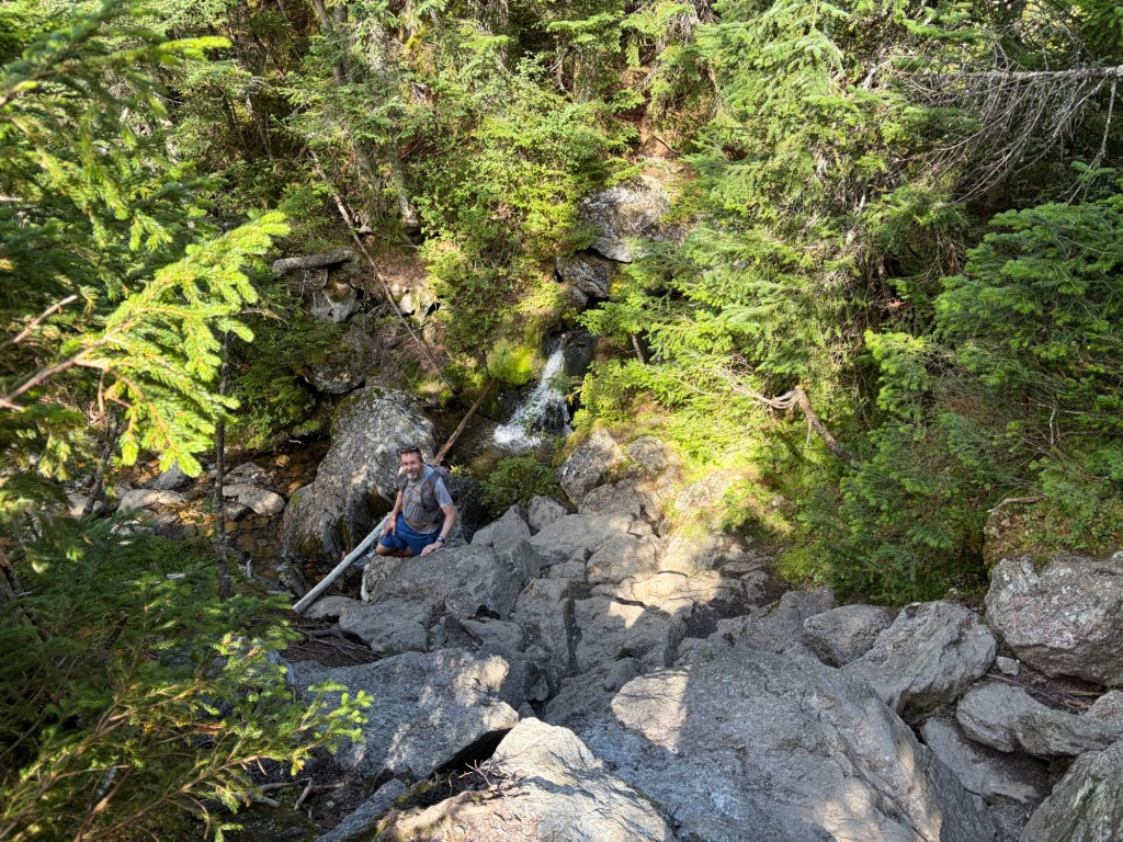
So many people. This is why we knew we would be frustrated, but shame on us for being lazy asses and starting late. It was agonizing to wait our turn. As soon as we could, we’d be climbing these boulders like mountain goats.
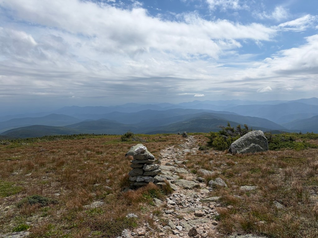
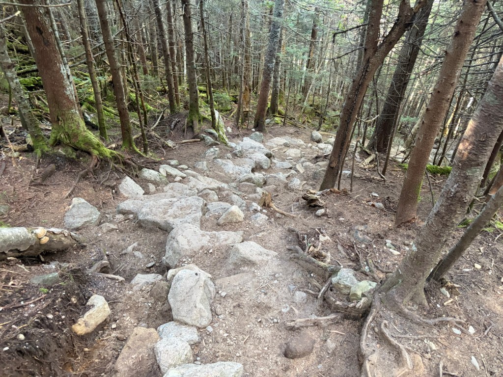
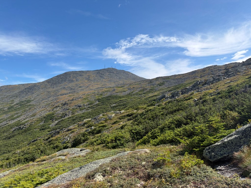
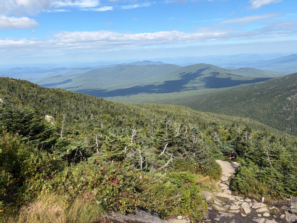
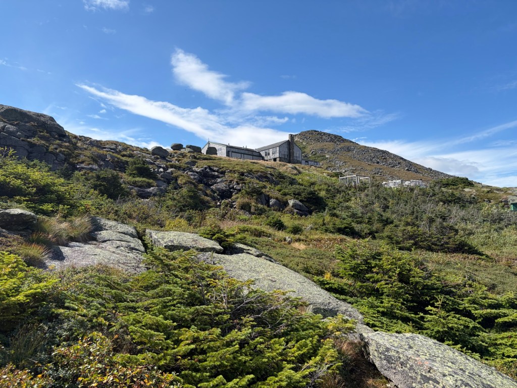
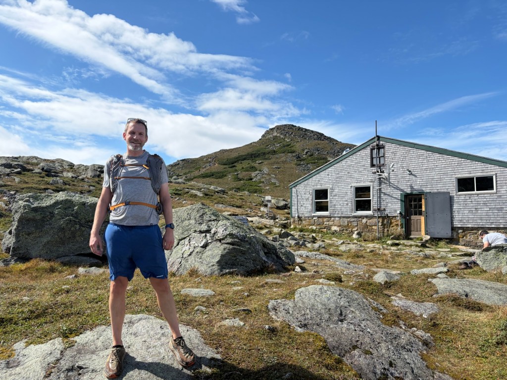
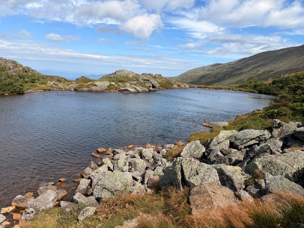
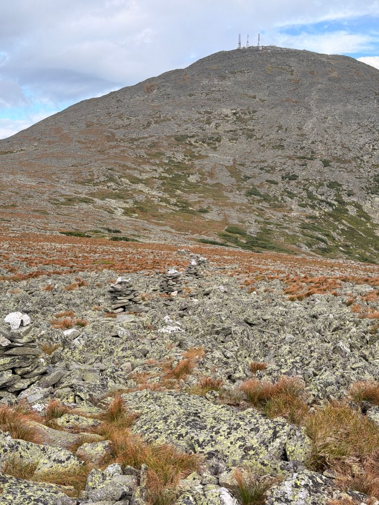
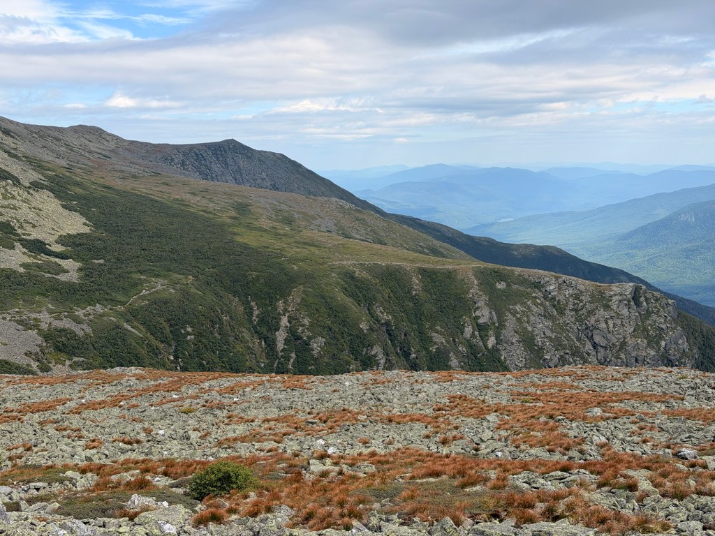
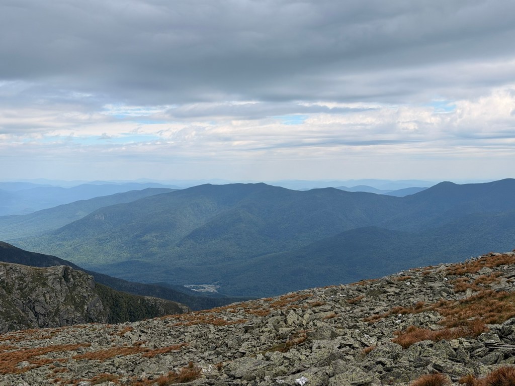
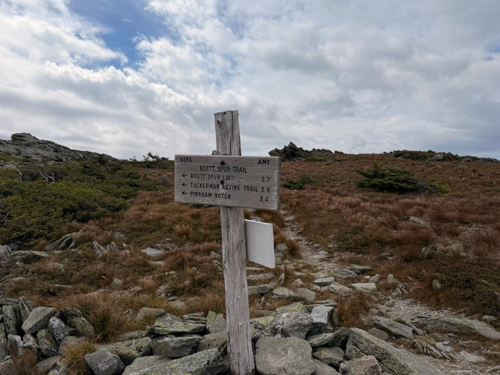
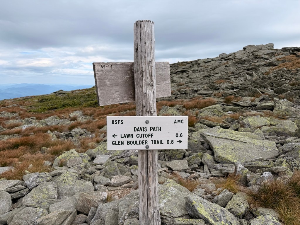
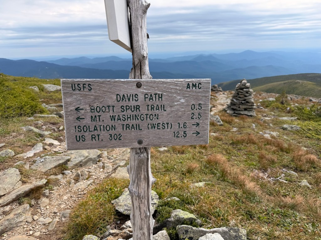
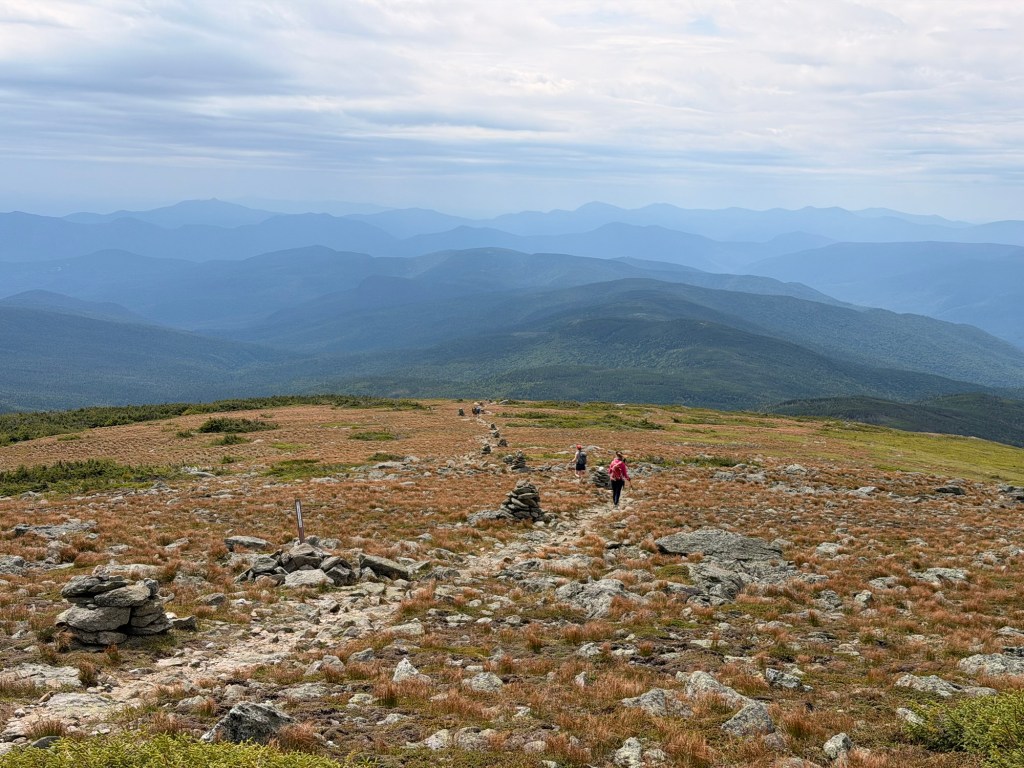
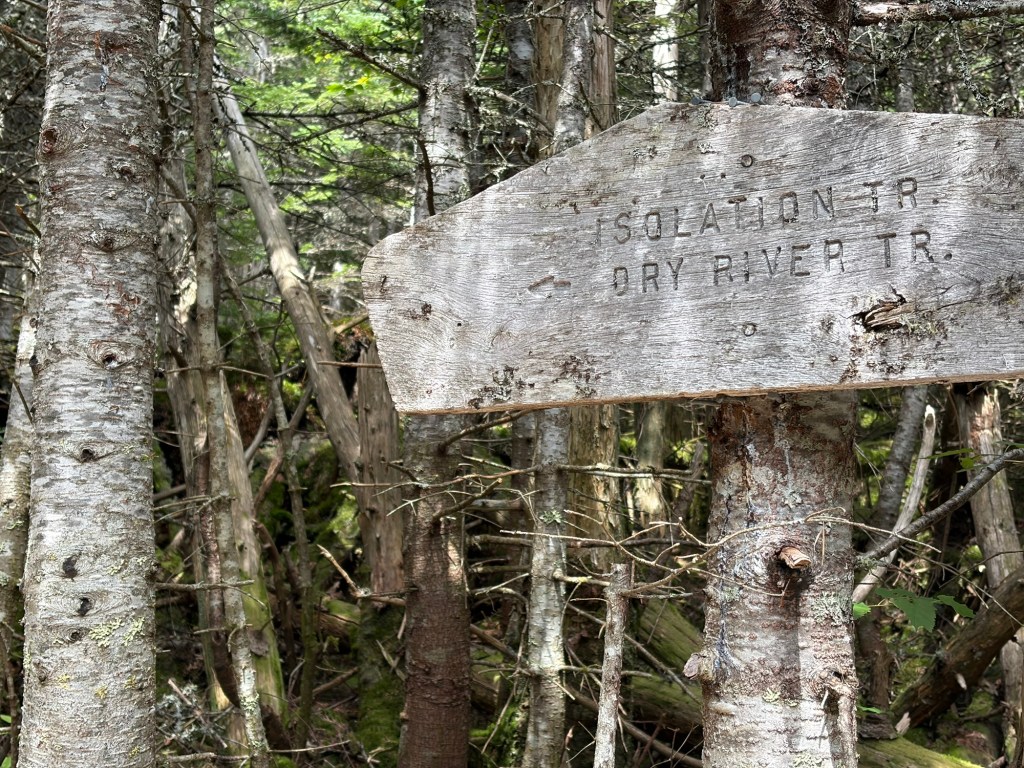
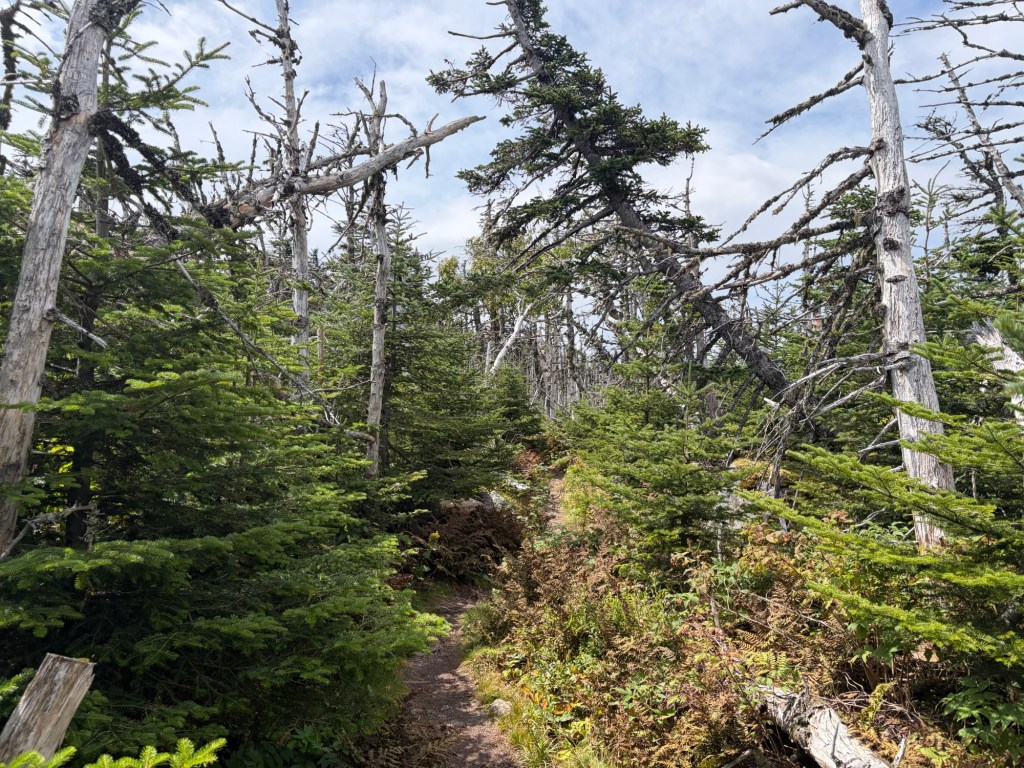
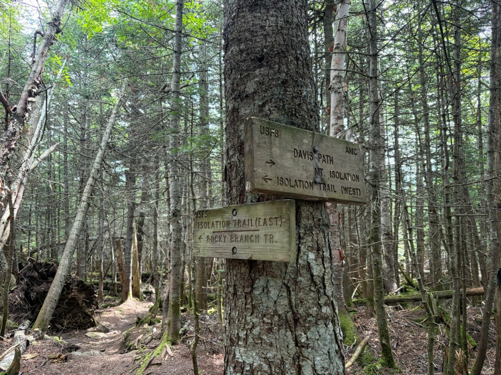
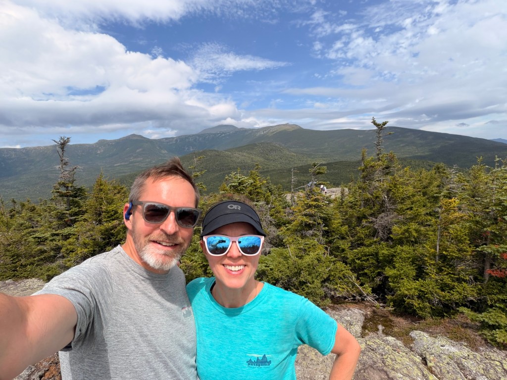
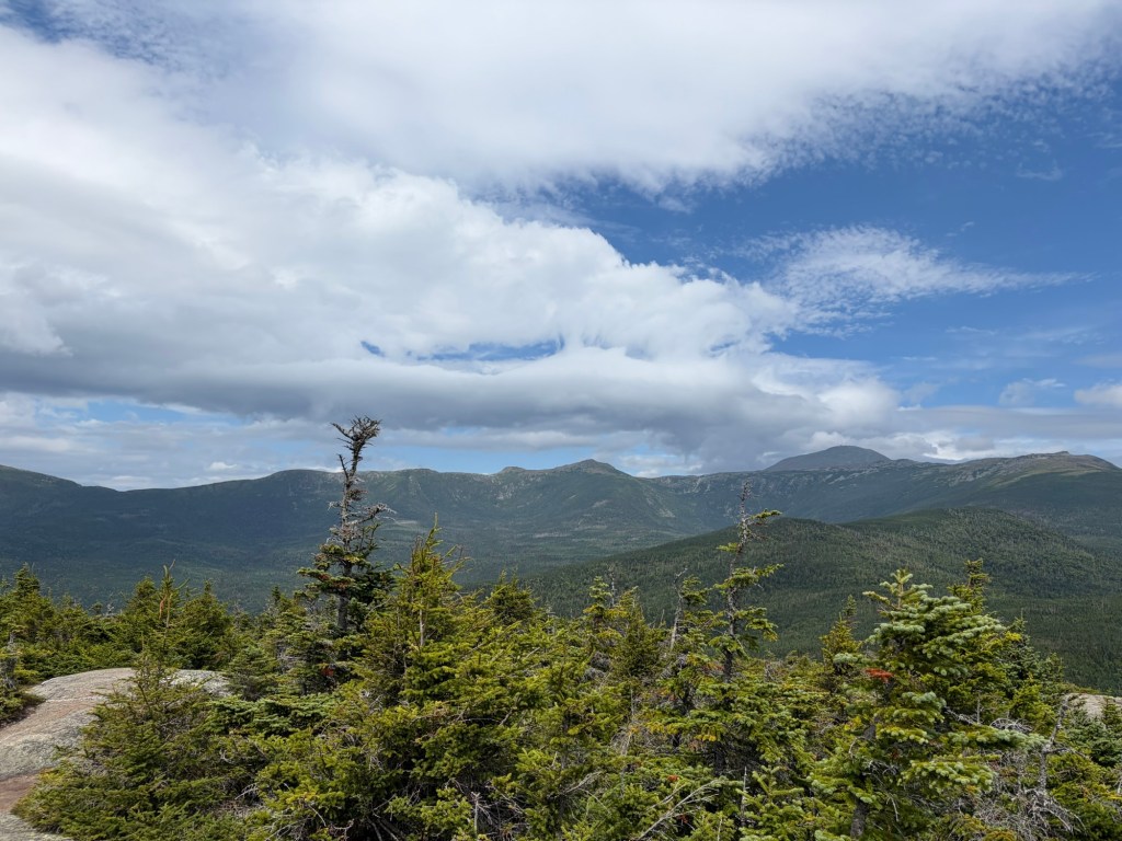
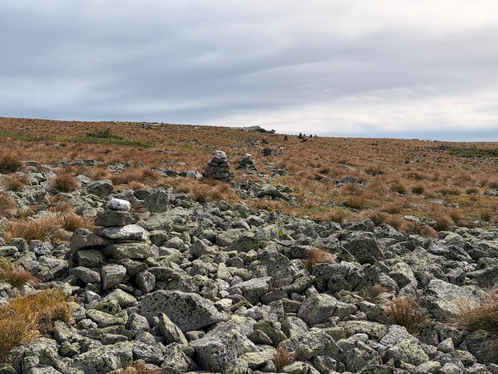
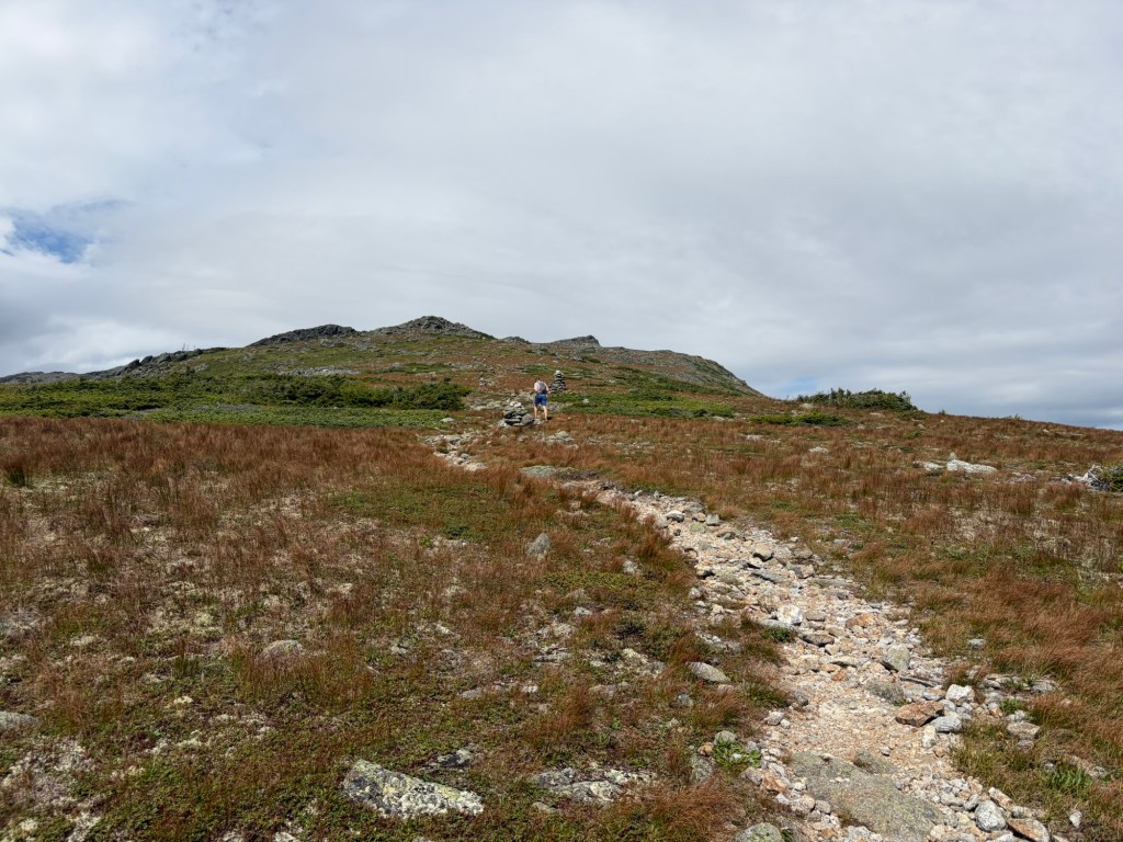
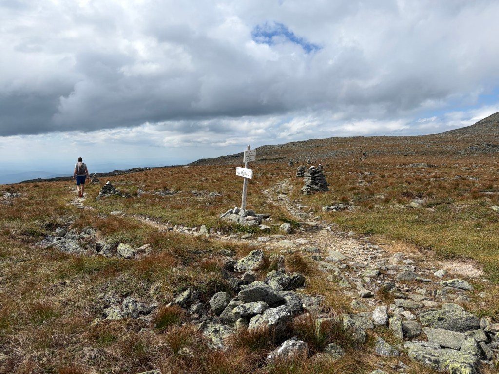
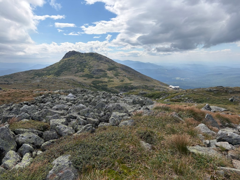
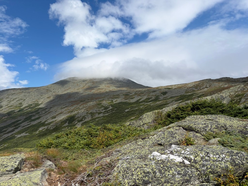
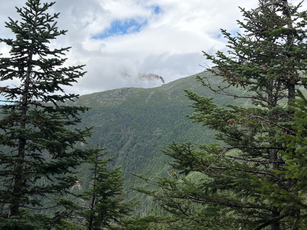
View toward Randolph. We were finally able to get passed a throng of people. A lot of teens and young kids. It would have been awesome to have hiked this when I was their age.View of Washington. We’re getting close to the hut.Looking backWe are not on the actual trail. How did that happen?Lakes of the Clouds Hut with Monroe in view.People were still having breakfast inside the hut when we got there. I visited the bathroom, ate a snack, and layered up. We’d be exposed above treeline for miles. Luckily, I brought my mittens; I did, indeed, use them. One of the Lakes of the CloudsWe’re not on Crawford Path for long. We take a right at the sign for the Camel Trail.On Camel Trail, looking back. Monroe is in view. We continue toward the Boott Spur Trail.Lawn Cutoff. The faint trail up Washington is Tuckerman.Lion Head Trail on the other side of Tuckerman RavineThe AMC Pinkham Notch Lodge is in view below. On the other side of the valley are North, Middle, and South Carter; Mt. Hight; and Carter Dome on the far right.The Boott Spur Trail is a solid option for descent, should the weather take a turn for the worse. Onward toward Glen Boulder Trail.Glen Boulder is a memorable trail for John and me. We continue on the Davis Path.It’s hard to tell, but Isolation is in view.But first, we have a lot of elevation to lose.Back in the day, when John and I hiked the Isolation Trail, it was unmaintained, making it quite interesting. We haven’t done it since 2016, so things could have changed. By the sign, I’m thinking not.We hit the col, and now are gaining elevation again.These trails suffered damage from Hurricane Irene in late August 2011.The Rocky Branch Trail might be considered the standard way to get Isolation, but it is long and BORING. Lots of rocks. Lots of branches. Lots of water crossings and water on the trail.On the summit of Isolation. On a beautiful day, the view is 360 degrees.Looking at Washington and other presidentials. We are headed back that way.There are a lot of junctions above treeline in this area, and it can get confusing when you see lines of cairns go in multiple directions. Take a minute and double check where you are and where you want to be. In bad weather, this is a nightmare.Almost back to the hut. Monroe doesn’t look intimidating from here.Washington is in the clouds.Descending the Ammonoosuc Ravine Trail in wet and/or icy conditions is tricky and dangerous. Even with dry rock, I still get low and really concentrate on my footing. It’s steep, and the ledge and boulders see so much action that they become worn and slick.The Cog on the Railway
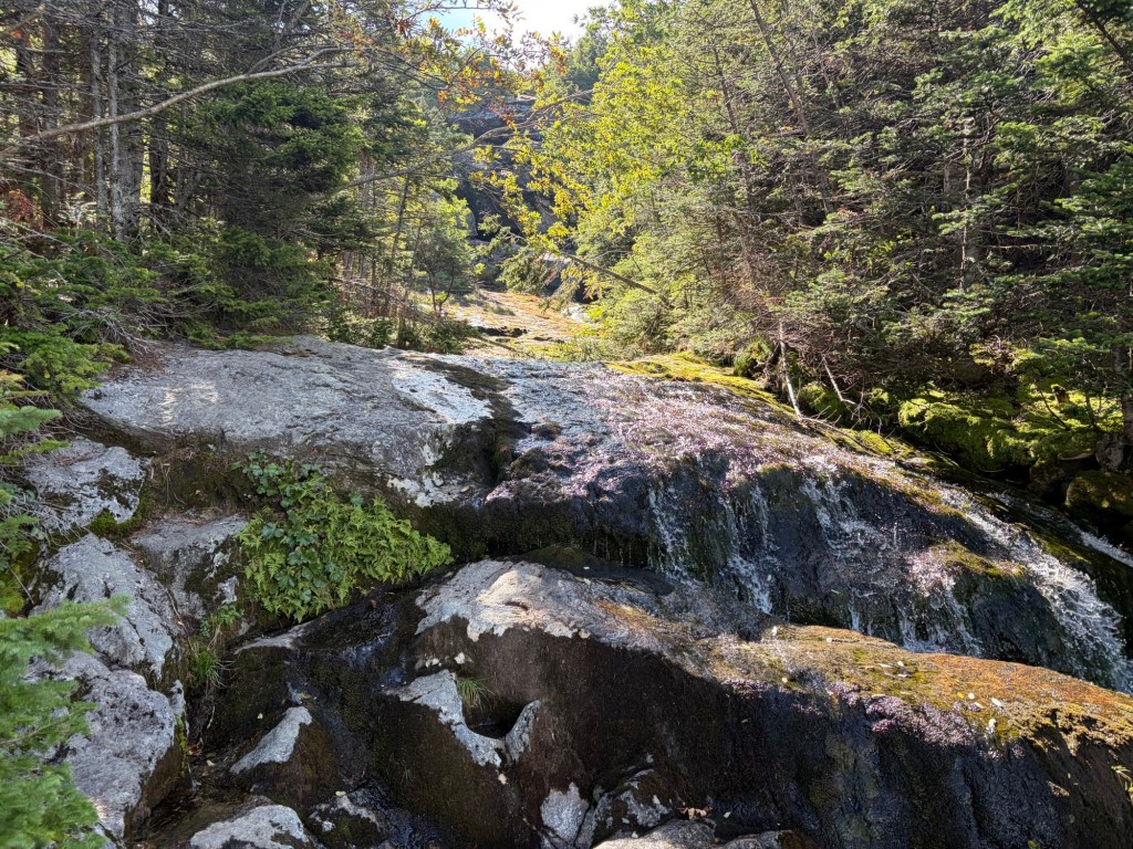
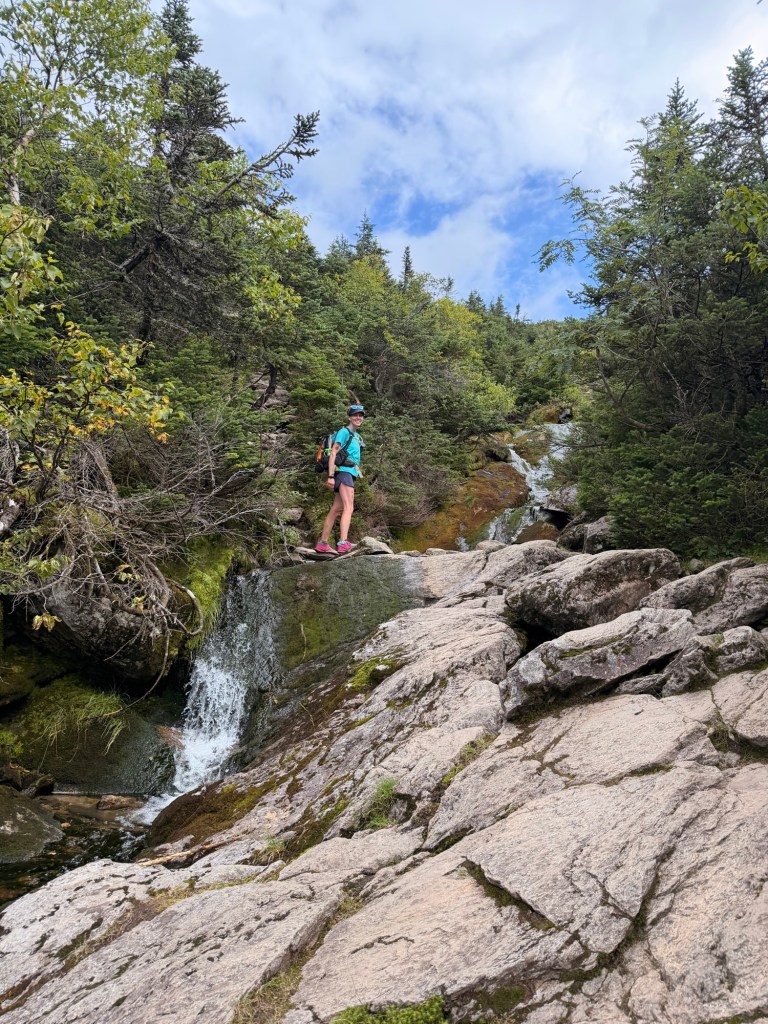
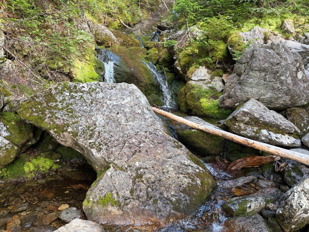
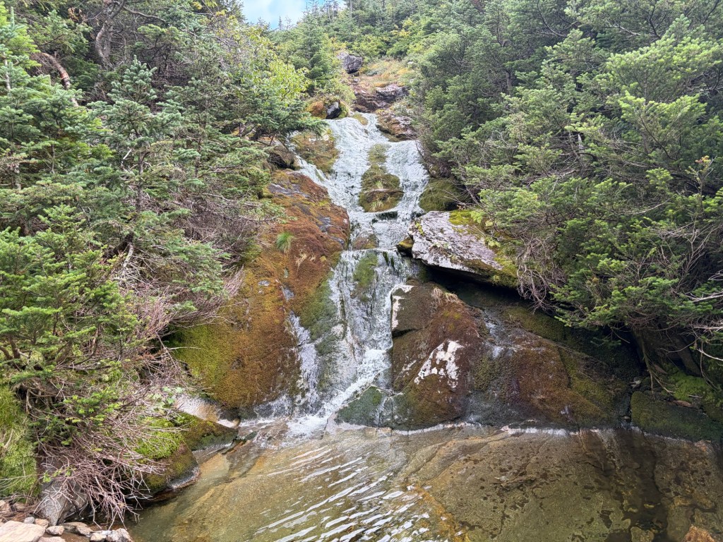
There were a lot less people when we were coming down, so we took our pictures of the waterfalls along the trail. They are what make the trail so popular.