NH White Mountains – Mount Washington via Huntington Ravine
Saturday, September 12, 2026
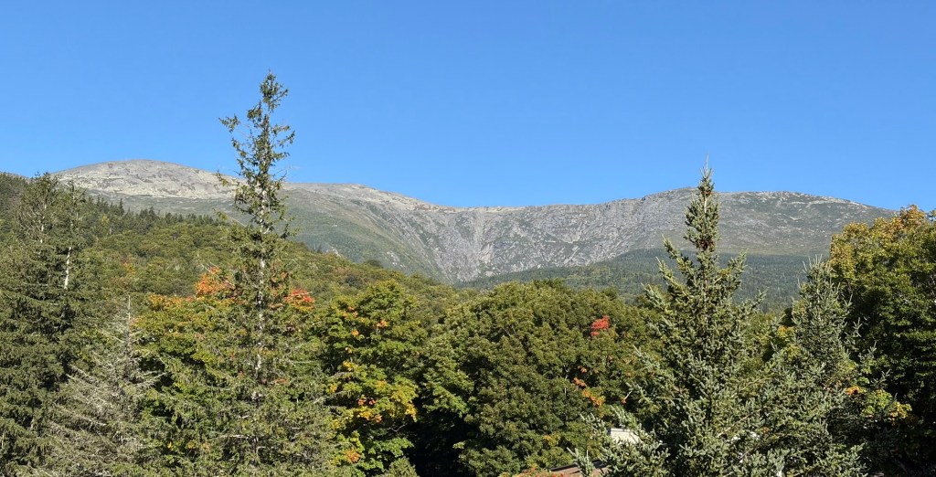
John and I both needed Mount Washington for our second Grid in September. We waited for a good forecast, and we weren’t disappointed. In fact, we couldn’t have asked for better weather to go up Washington, especially the route we wanted to take.
It had been years since we’d hiked Washington via the Huntington Ravine, generally considered the most technical trail in the northeast. There’s not much class-3 hiking in New Hampshire, but we found it here, with no-fall zones and sections where, should you get stuck, you can’t safely go up or down and it would mean a rescue. It’s not recommended to descend Huntington Ravine, nor to go up in wet and/or icy conditions, unless you were bitten by a mutant spider and have super powers.
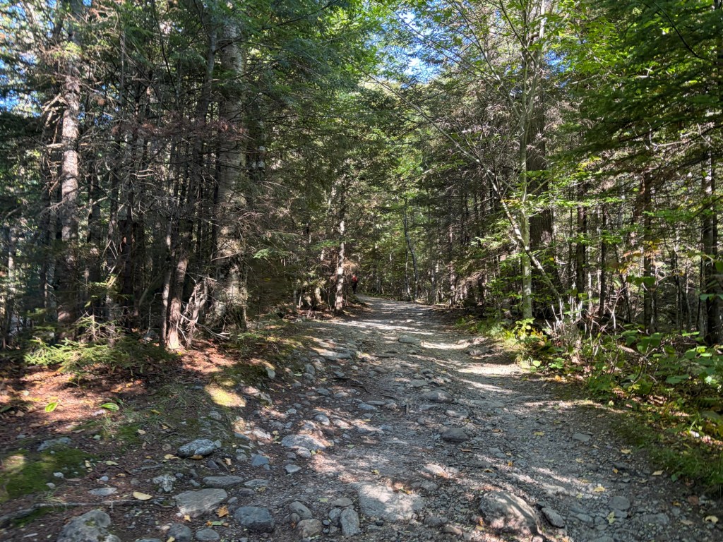
The start of our hike takes the Tuckerman Ravine Trail for 1.3 miles. The beginning of the trail is the only flat section. Once you pass Crystal Cascade, you steadily gain elevation. It’s hard to believe from this picture, but the trail was full of people.
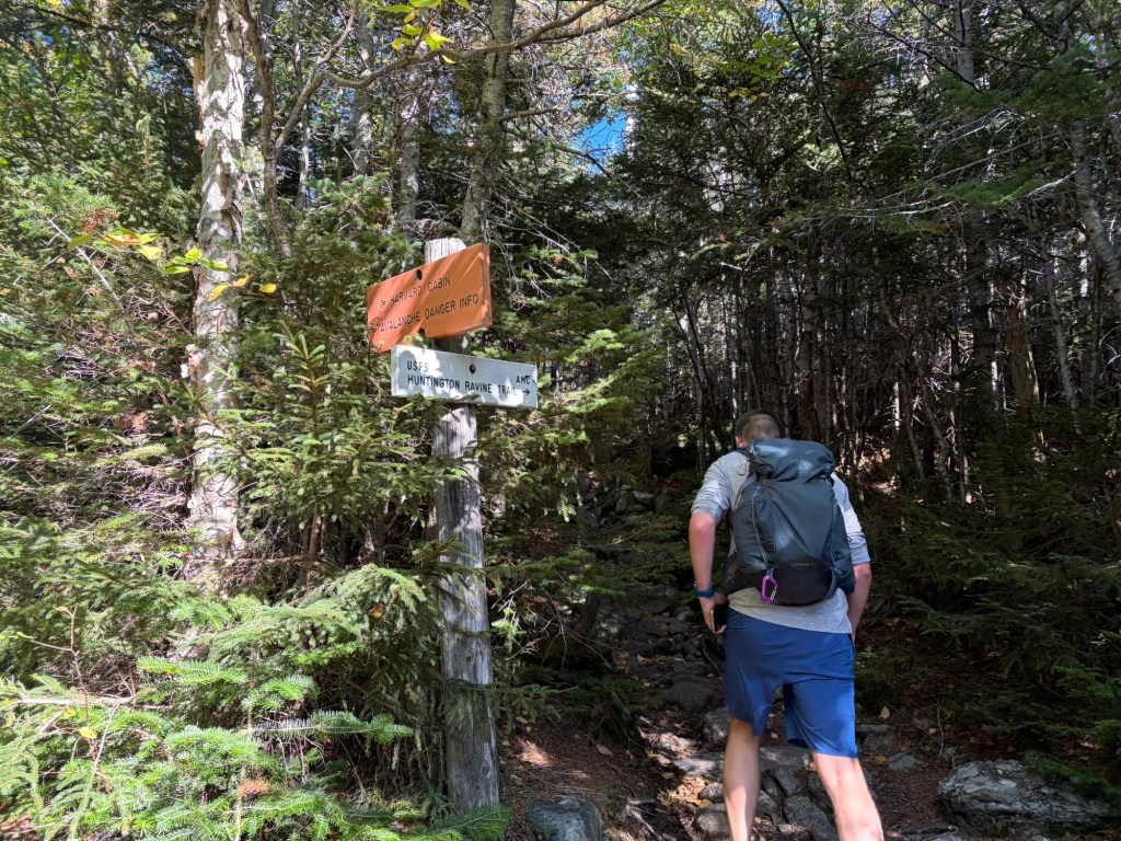
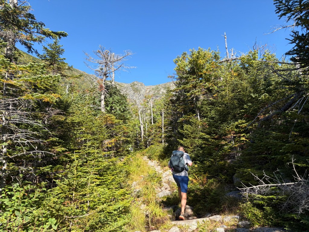
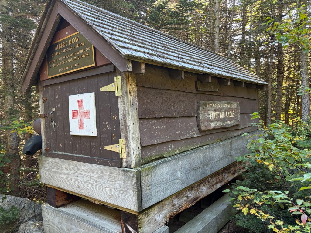
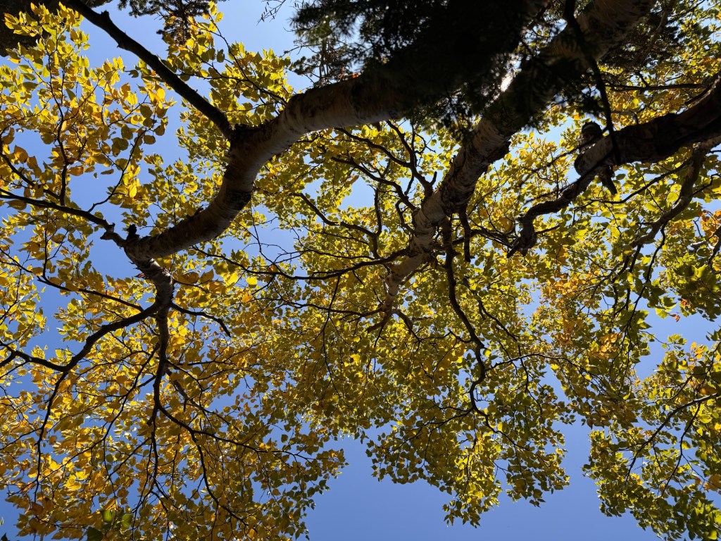
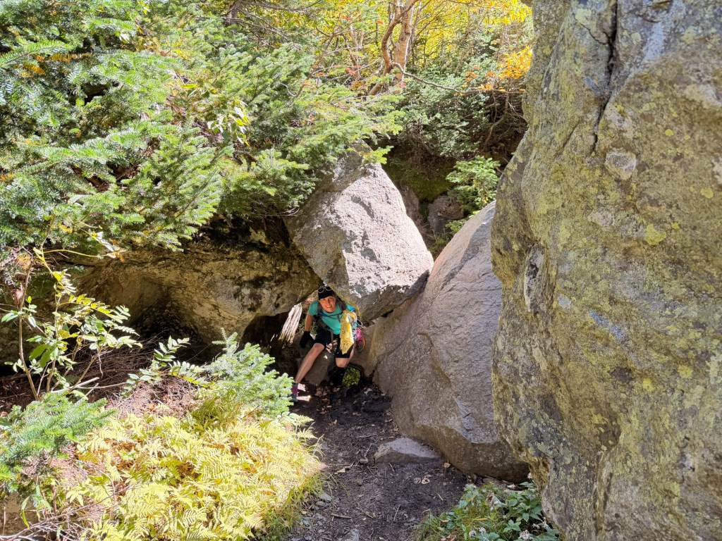
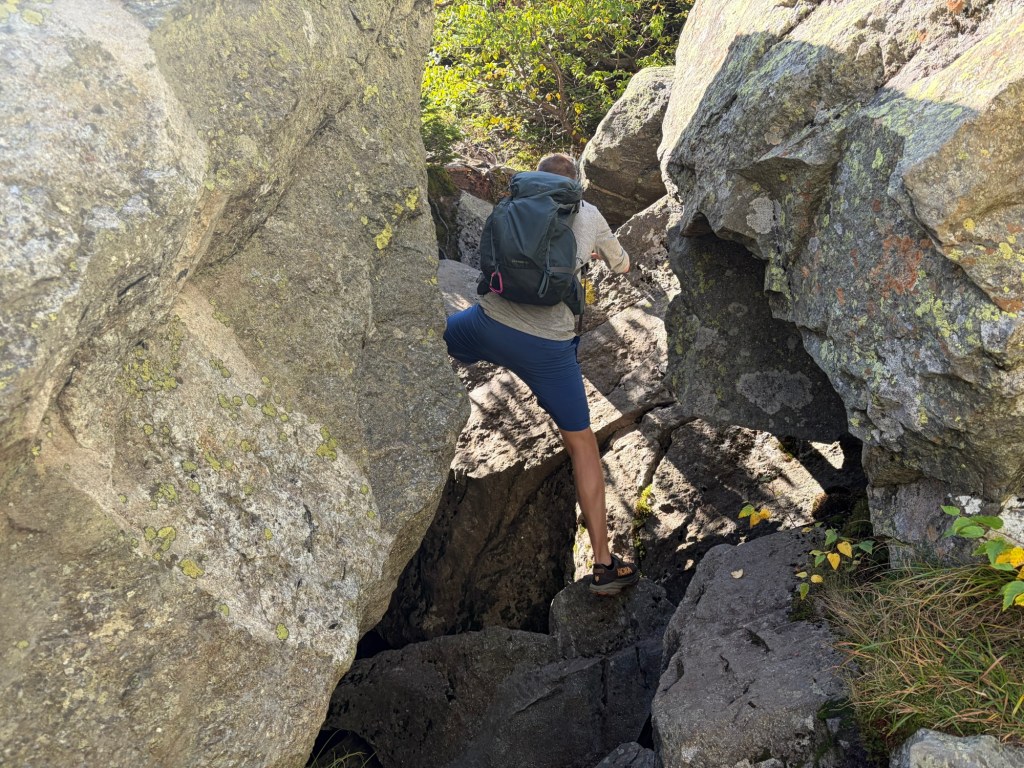
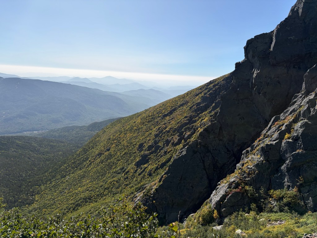
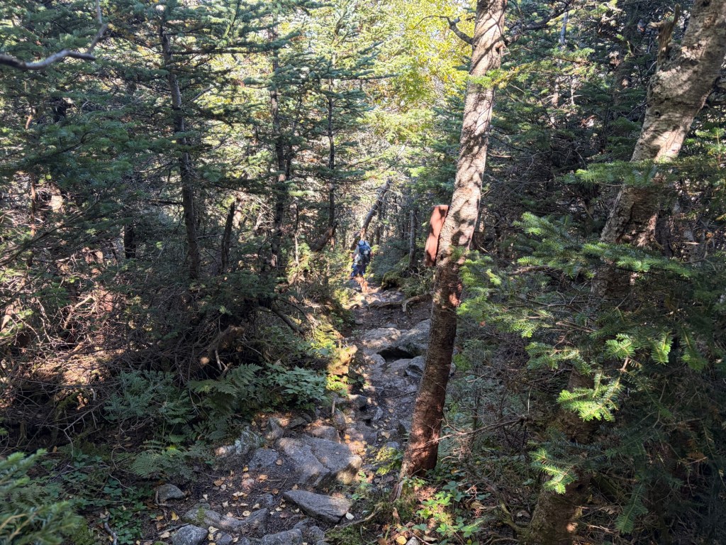
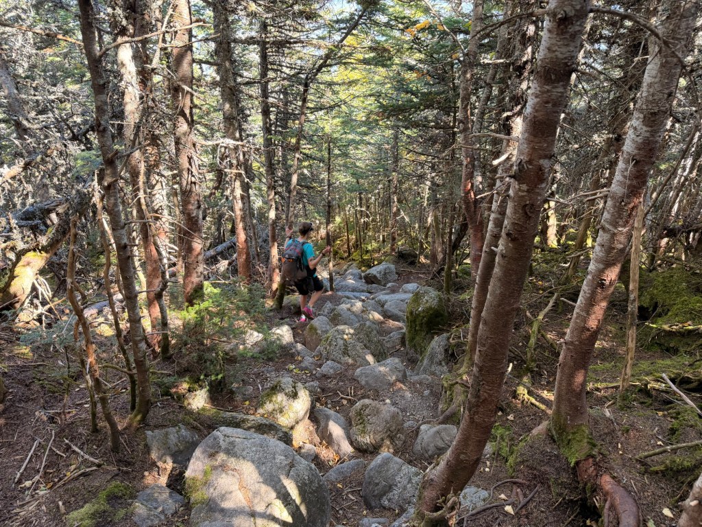
Huntington Ravine Trail narrows and levels out a bit along a contour line.A glimpse of the ravine.A first-aid cache. Huntington Ravine is susceptible to avalanches.The leaves are starting to change colors.John went over the boulder, while I crawled through, carefully avoiding the mud.A tricky spot to maneuver, even John had difficulty. I got my first bruise of the day here. I got at least two more (including a nice egg on my shin) later in the day.
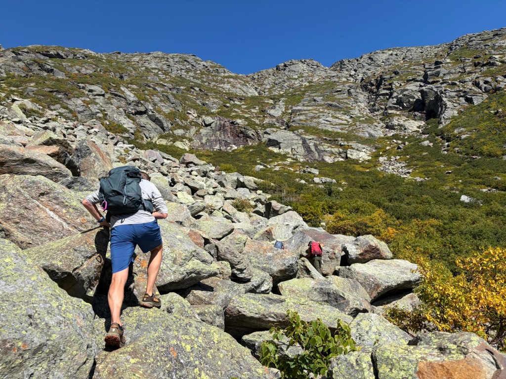
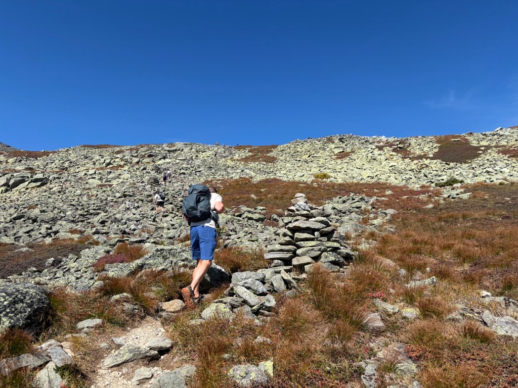
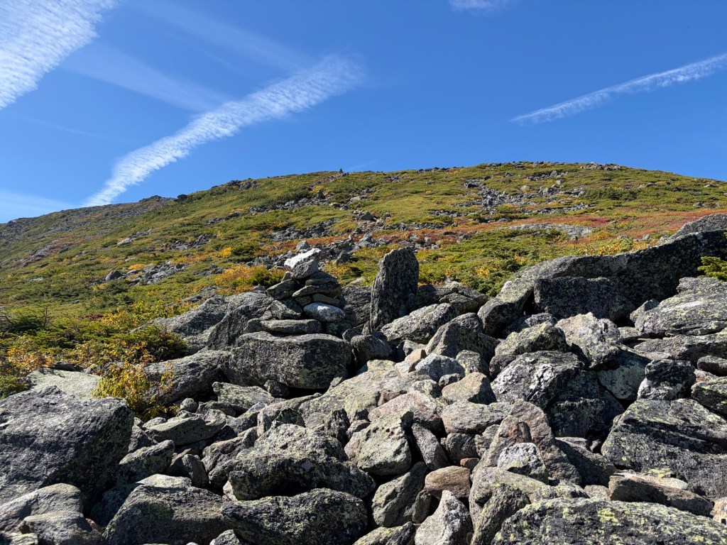
Eventually the trail opens up, and we start climbing in earnest. First, it’s over mostly stable talus.
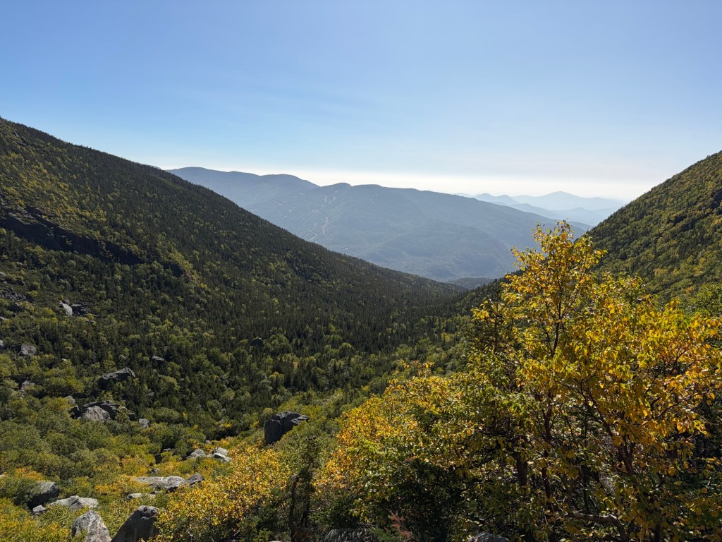
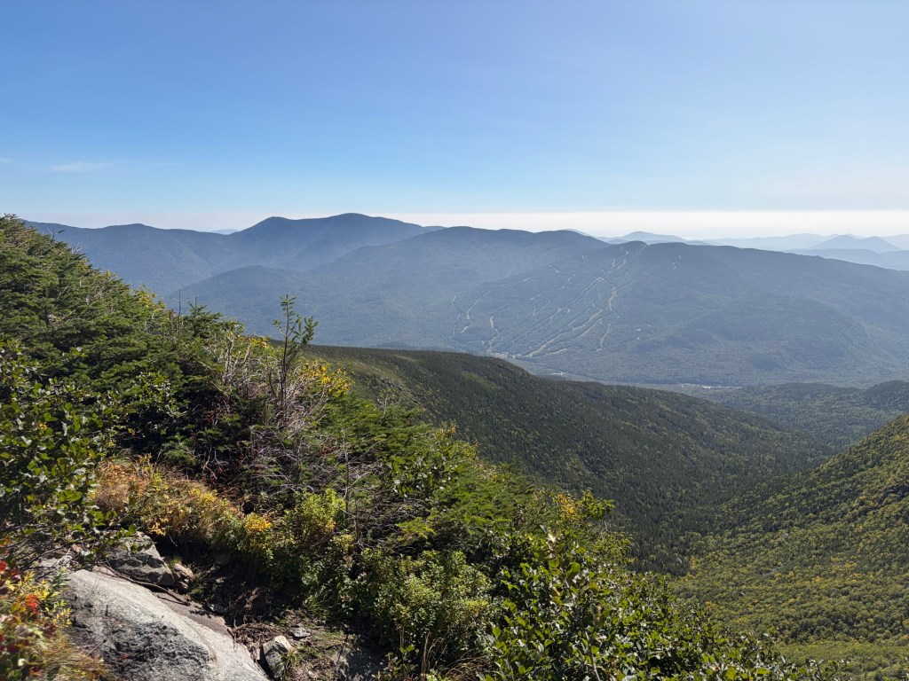
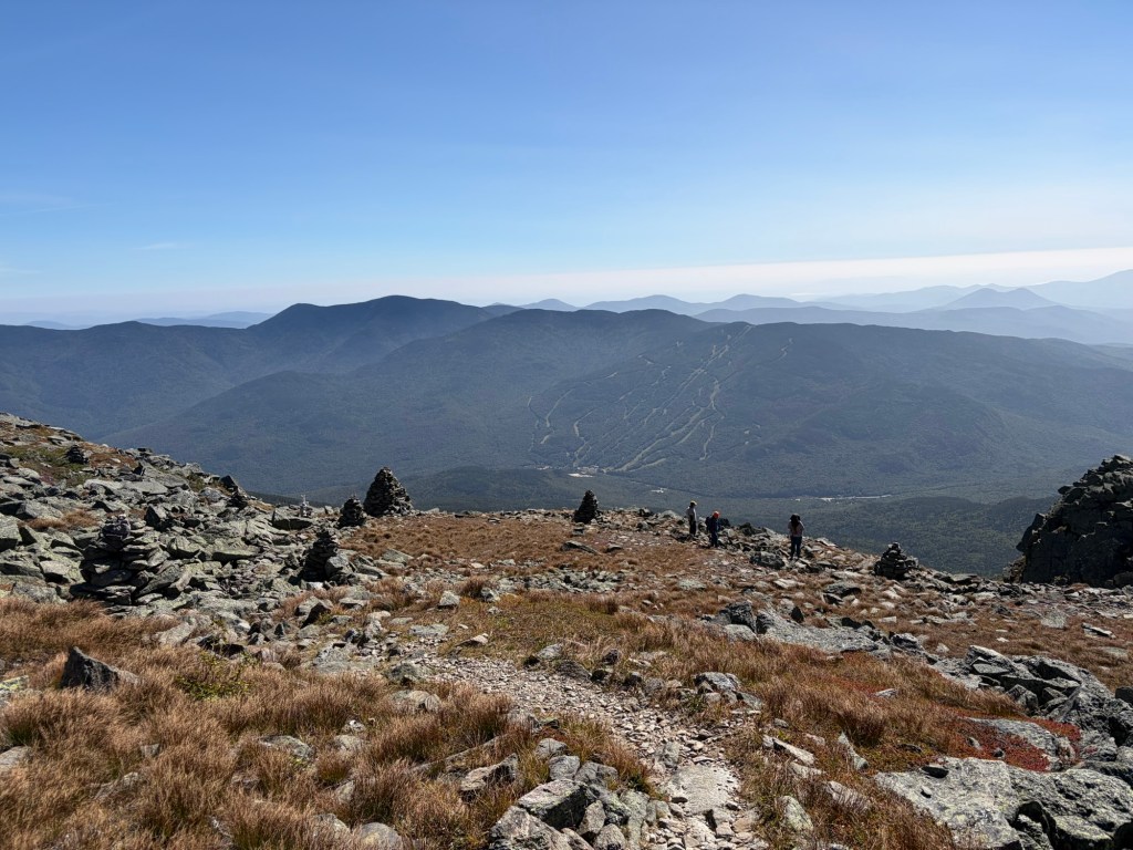
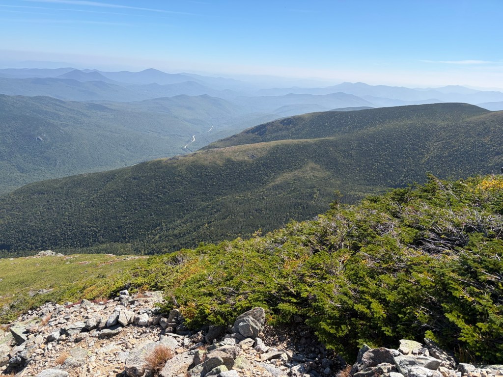
A view looking back toward The Wildcat Ski Area. Beyond the Wildcats, the North and South Doubleheads, in Jackson, are visible. Behind them, North Kearsarge, in North Conway, can be seen.
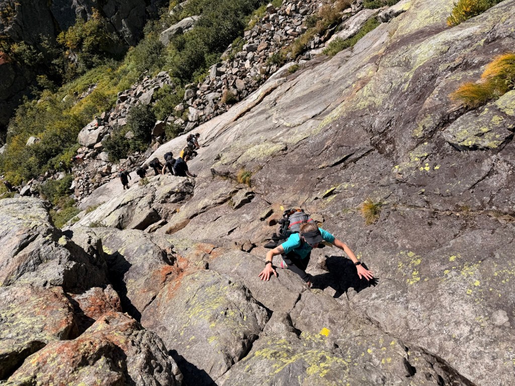
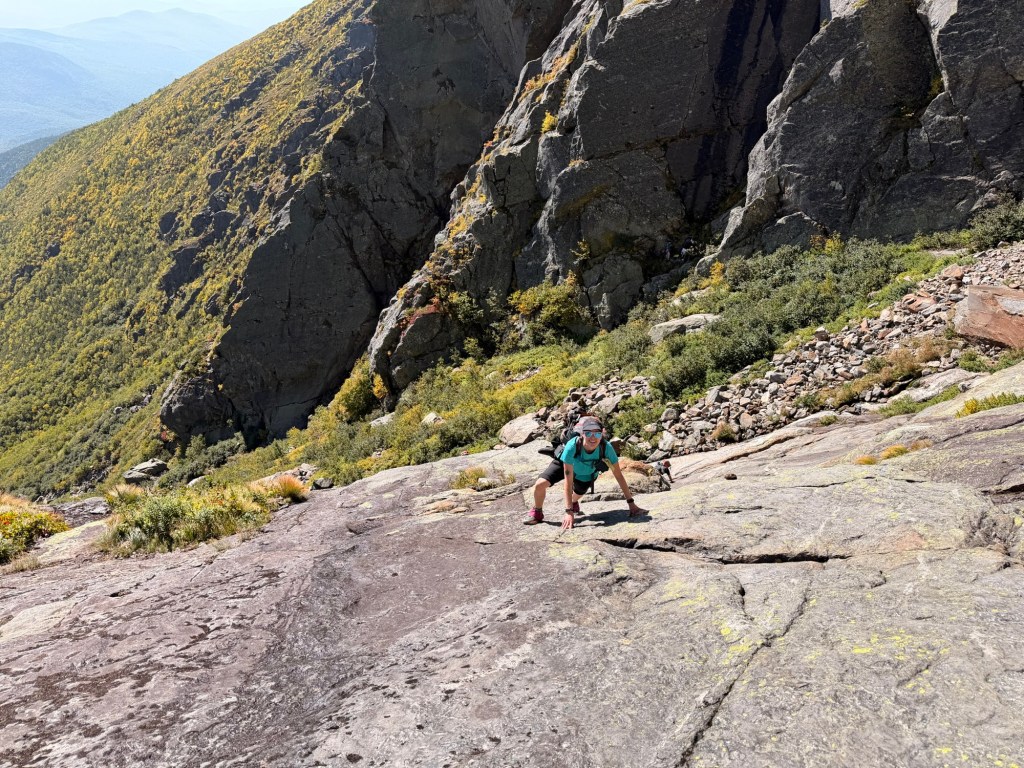
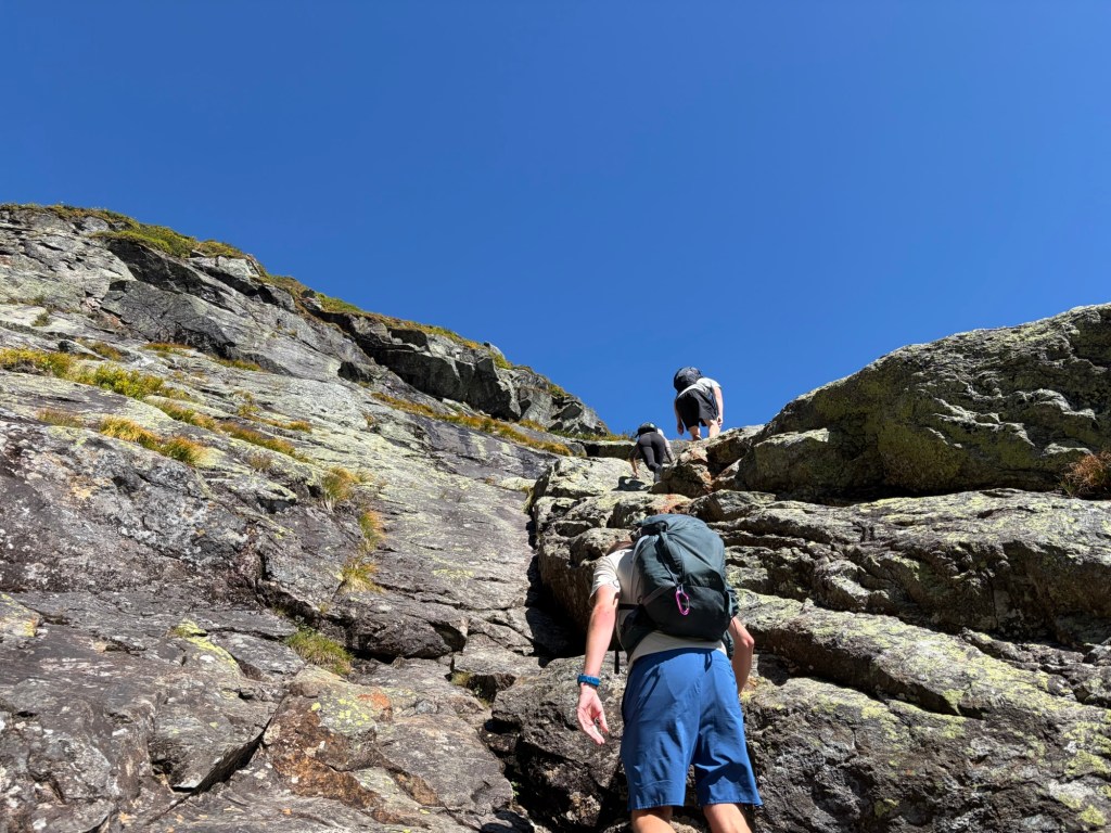
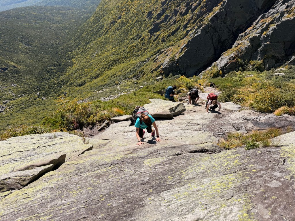
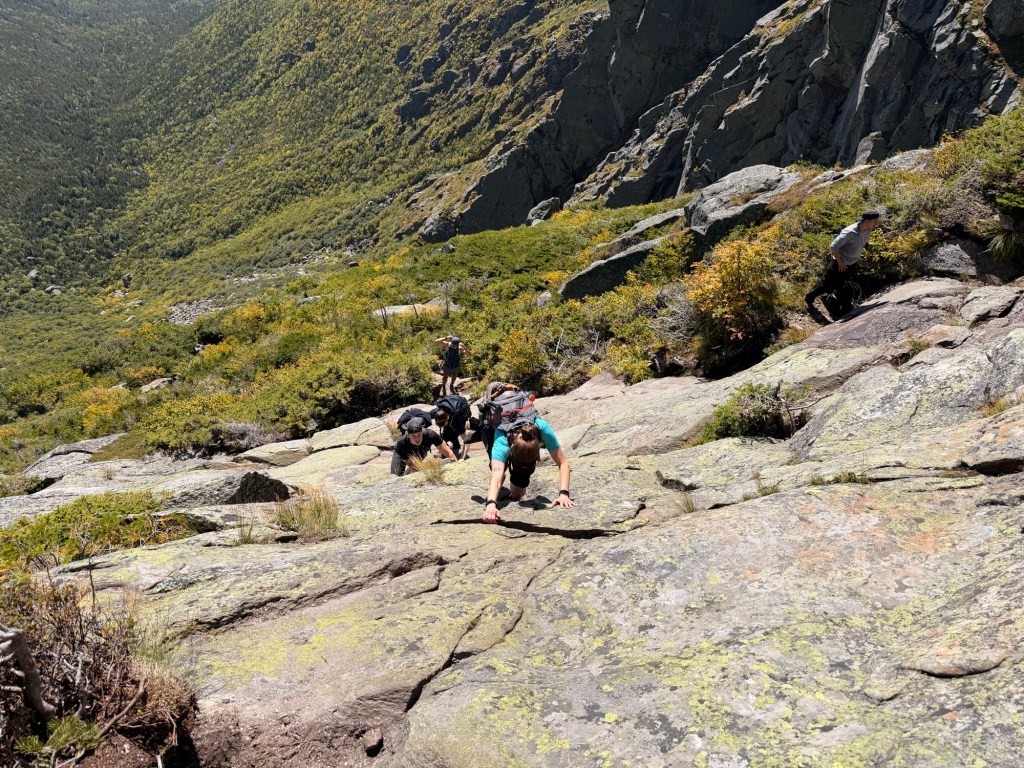
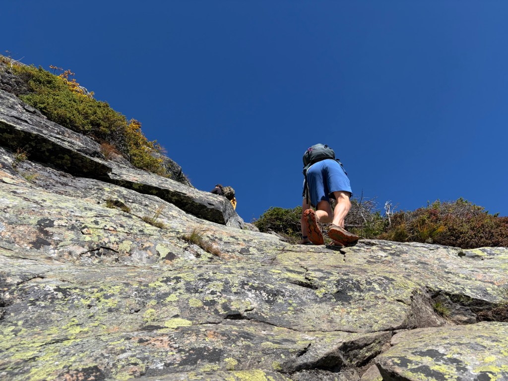
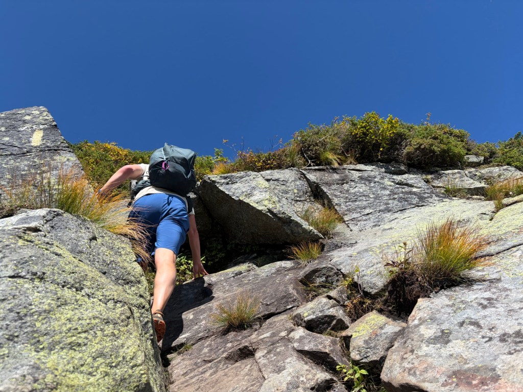
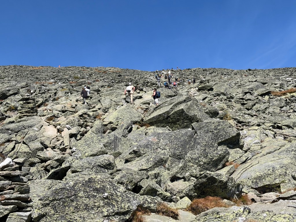
And now for the sketchy stuff. If you don’t have grippy shoes, you’re kind of screwed. It’s a steep slope up the ledge. I used hand- and foot-holds when I could, and also placed the toe of my shoe in divots, hoping they held. I didn’t take many pictures of John going up because you can’t really stop here. I used my momentum to get up sections where there weren’t places to hold onto. Plus, there was a line of people coming up behind me.
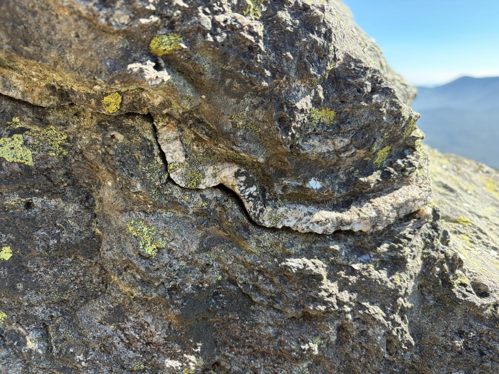
I want to learn more about the geology of the White mountains.
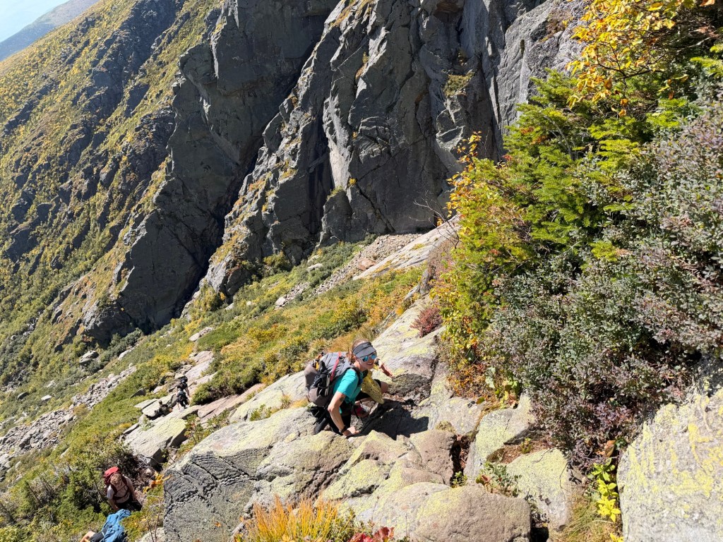
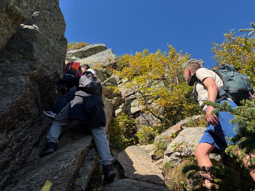
There were three people ahead of us going up this short chute. The guy in the back passed the second woman, who was having trouble getting up. John and I were eyeing the spot to the right to see if we could get around them, but we decided to wait. Very patiently. There was a guy behind us, as well. Later we learned from him that they weren’t even supposed to be on this trail; they wanted to go up via Lion’s Head. Luckily they decided to continue going up instead of backtracking. We were pretty much past the hard stuff at this point.
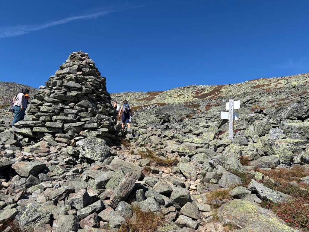
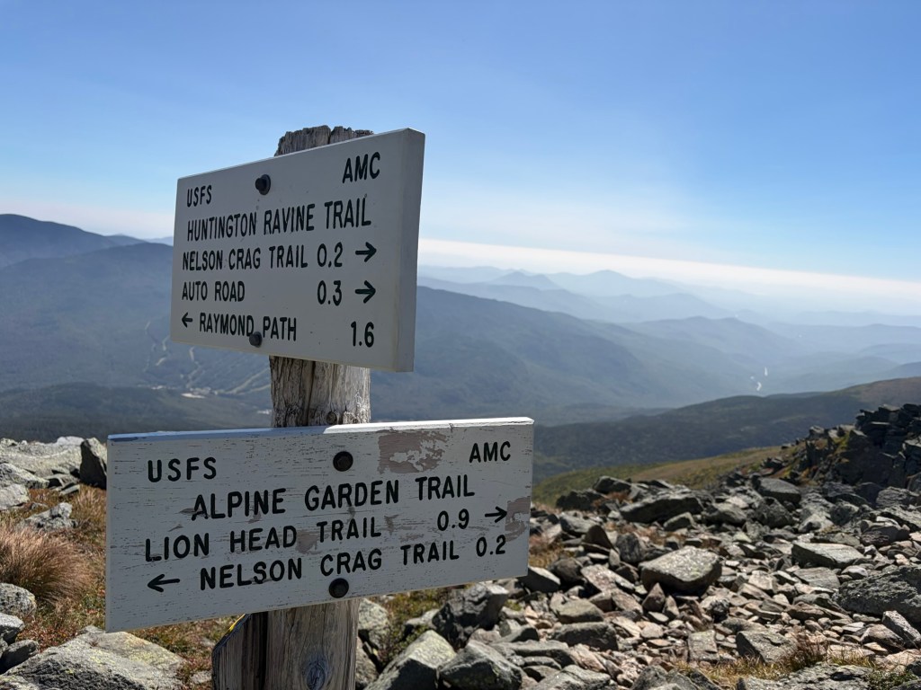
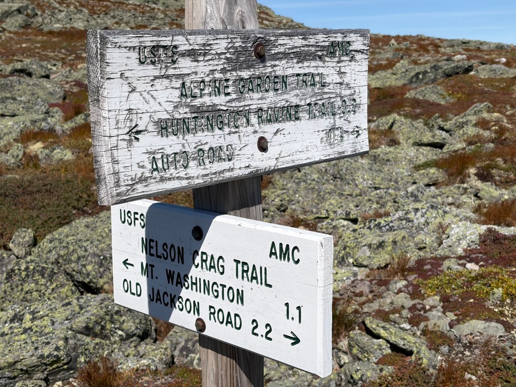
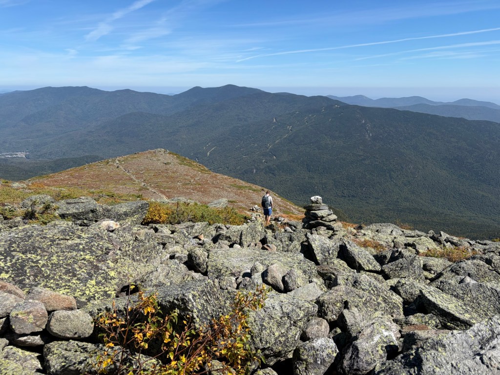
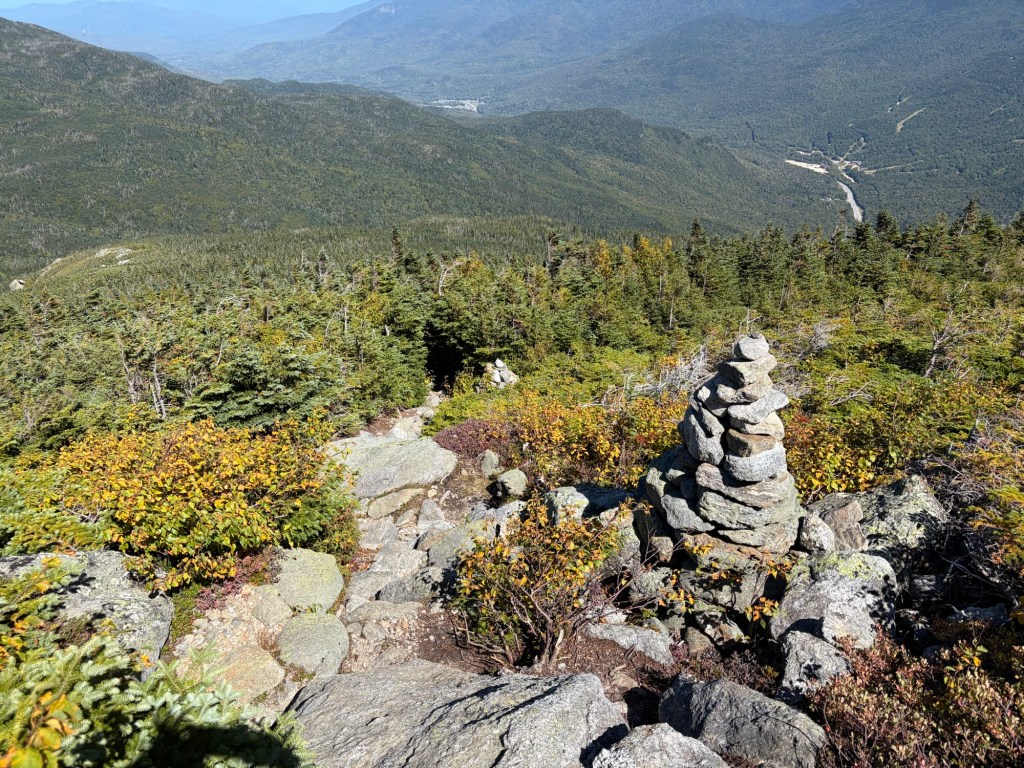
This huge cairn marked the junction with the Alpine Garden Trail. At first we continued up the Huntington Ravine Trail, but John discovered that we actually wanted to go on the Alpine Garden Trail toward the Nelson Crag Trail. We turned around to get back to the cairn and junction, and started on the AG Trail. Soon after, John said we actually could have stayed on the other trail. We continued on and got some more mileage from it.
On the Huntington Ravine Trail passed the junction.Turning around to get to the Alpine Garden Trail.
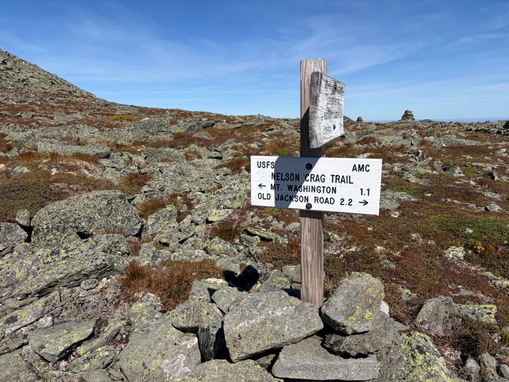
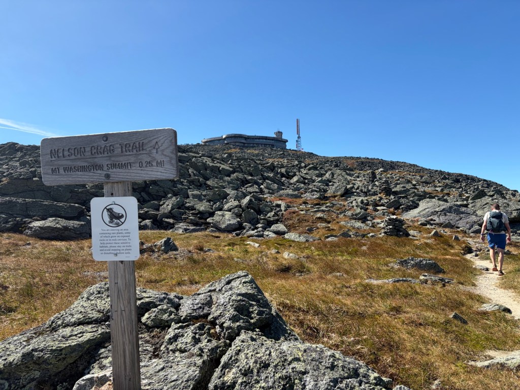
On the Alpine Garden Trail a short ways to the Nelson Crag Trail.
It was fantastic being on the Nelson Crag Trail, and a respite from the hikers we’d seen and the throngs of people who we would be encountering soon. There would be intrepid hikers, people who are proud that their car climbed Mt. Washington, and others who want to experience the marvel of the Cog Railway. Mt. Washington is a popular place to be.
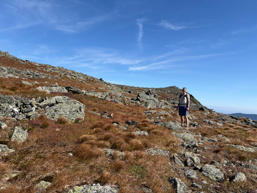
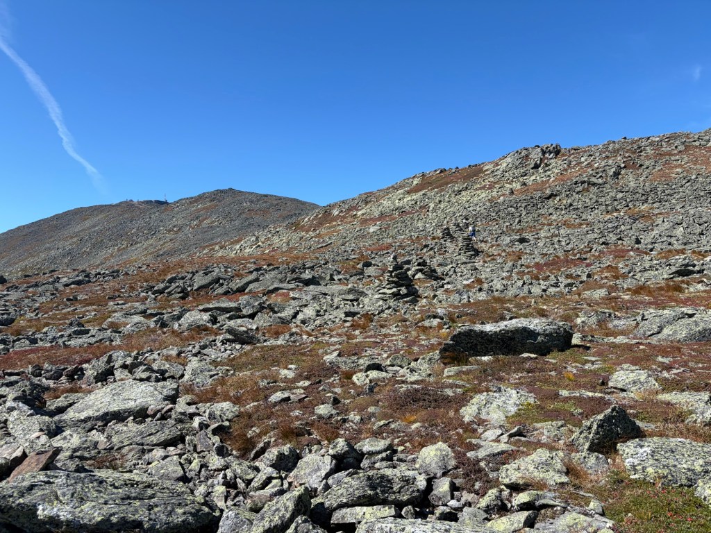
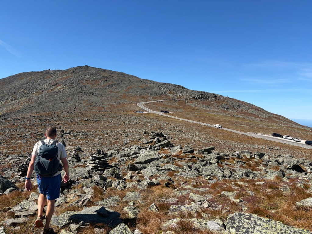
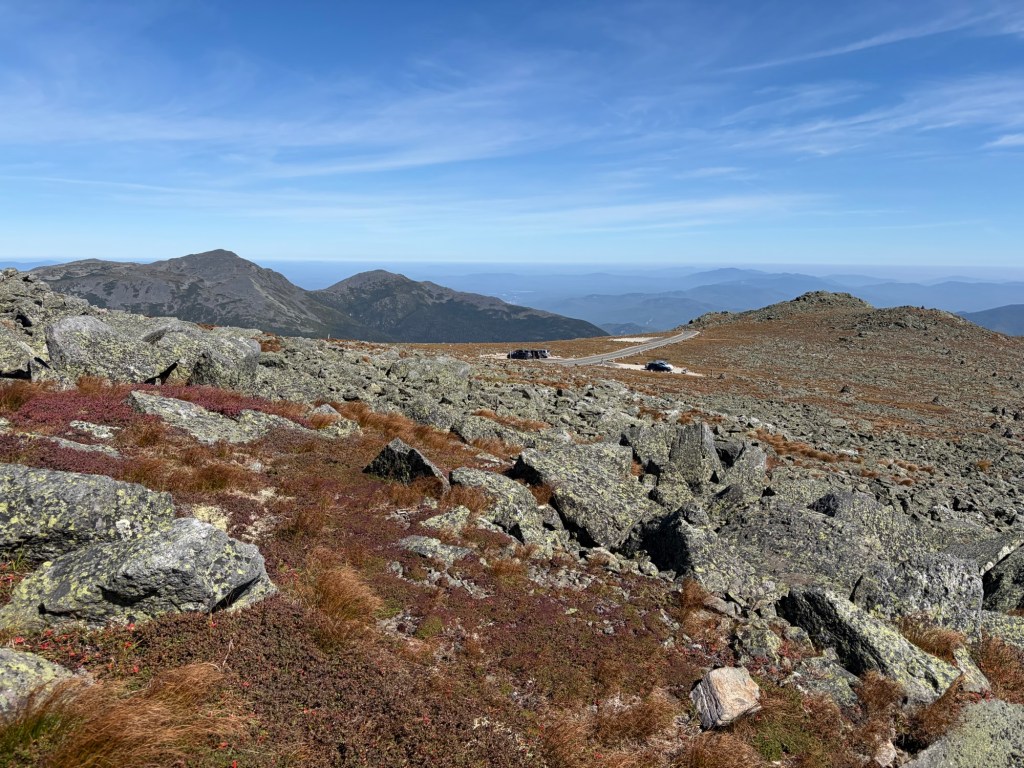
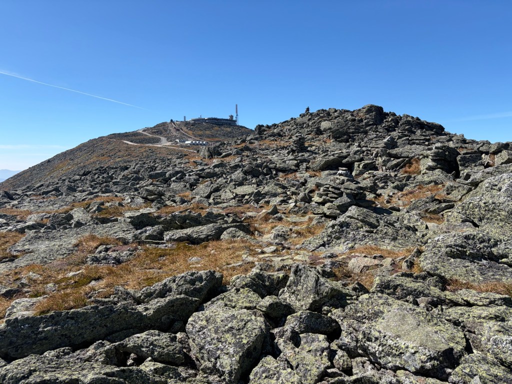
On the Nelson Crag Trail. The summit of Mount Washington is in view. We need to climb up to the ridge.On the ridge. That’s the Mt. Washington Auto Road. We’d heard it for a while.Mt. Adams is on the left, and Mt. Madison is on the right. In the distance is Gorham and Berlin.
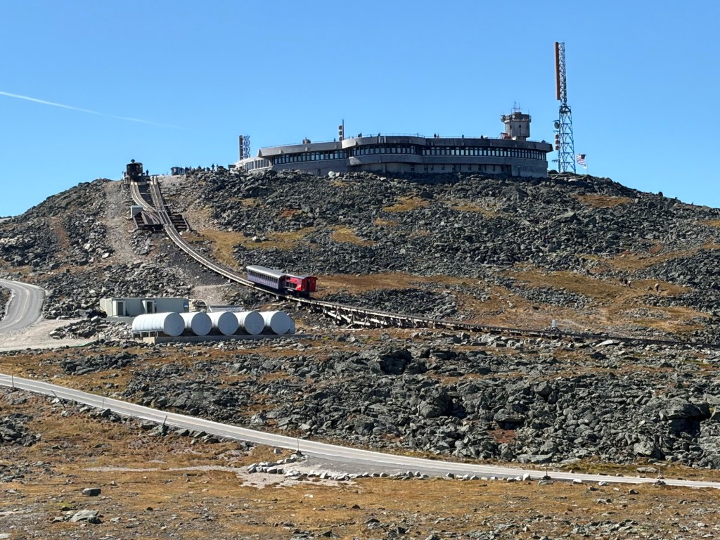
The Mt. Washington Observatory and a close-up of the Cog. You can hear it from miles away.
Almost there.
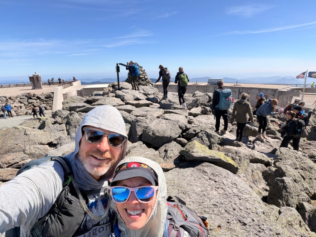
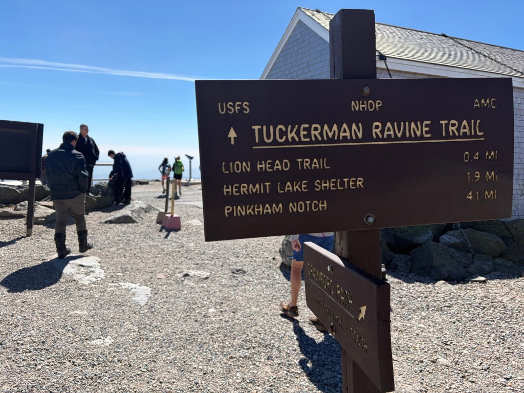
On the summit. We first went into the Sherman Adams building. Most of the people (e.g., tourists) visit the main floor to get food, warm up, whatever. It was crowded, so we went downstairs where hikers typically take their break. I scored a free blueberry muffin! Though it wasn’t too windy or cold, there was a chill in the air, so we layered up for the descent. We didn’t want to wait in line to take a picture at the sign (we have so many of them, anyway), so we took the picture with the line and the sign behind us. Then we headed down the Tuckerman Ravine Trail. I knew this wasn’t going to be enjoyable because it’s so busy. It’s saving grace is the view.
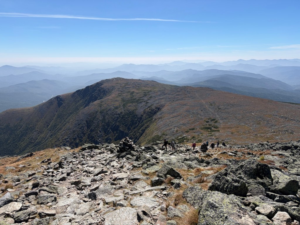
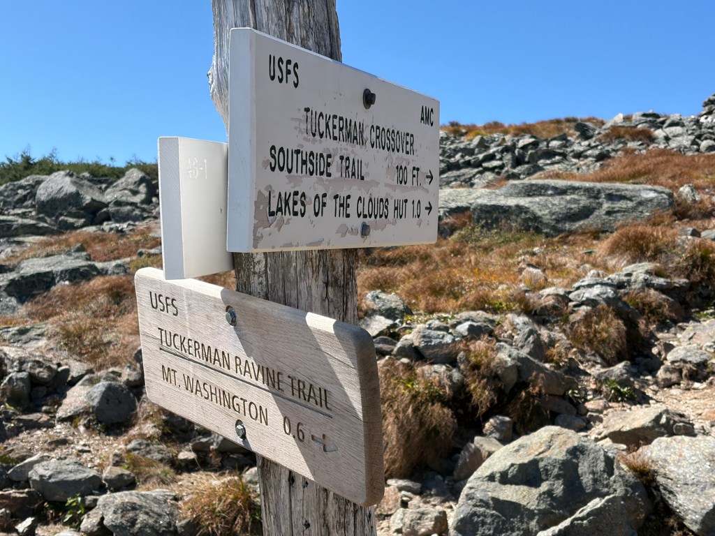
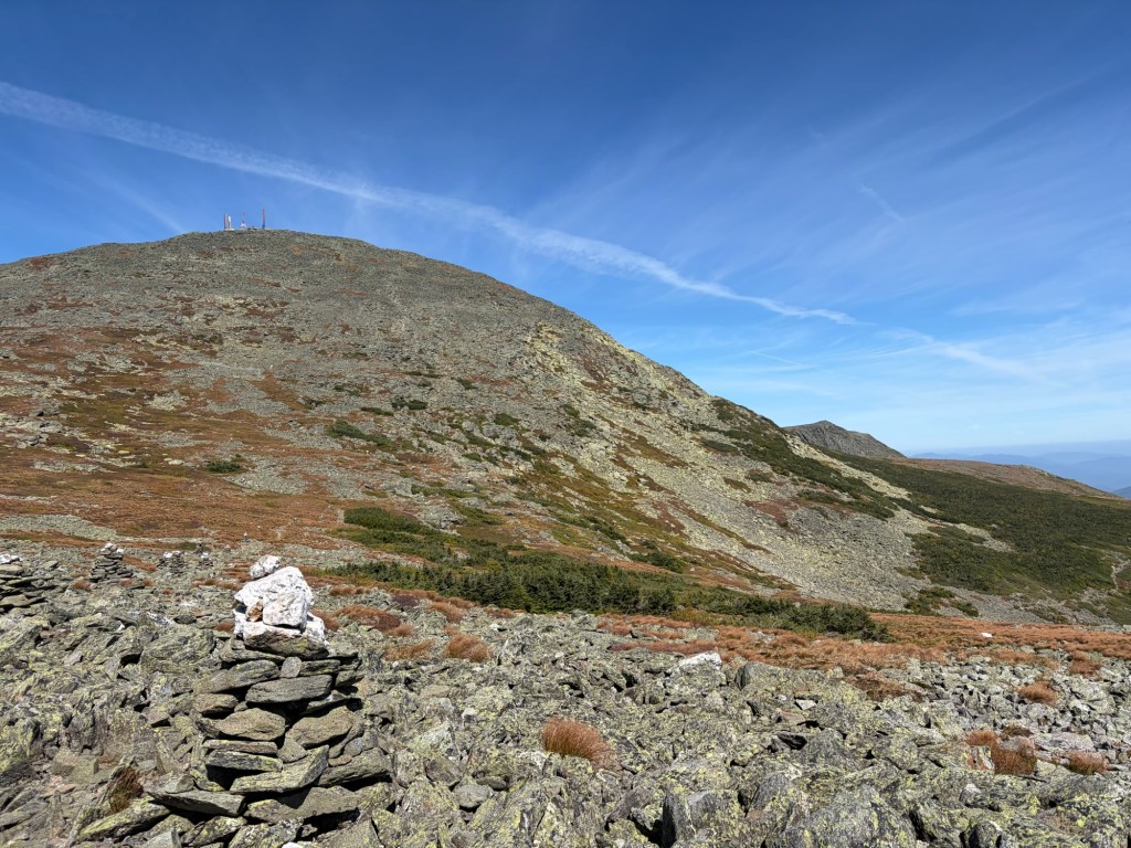
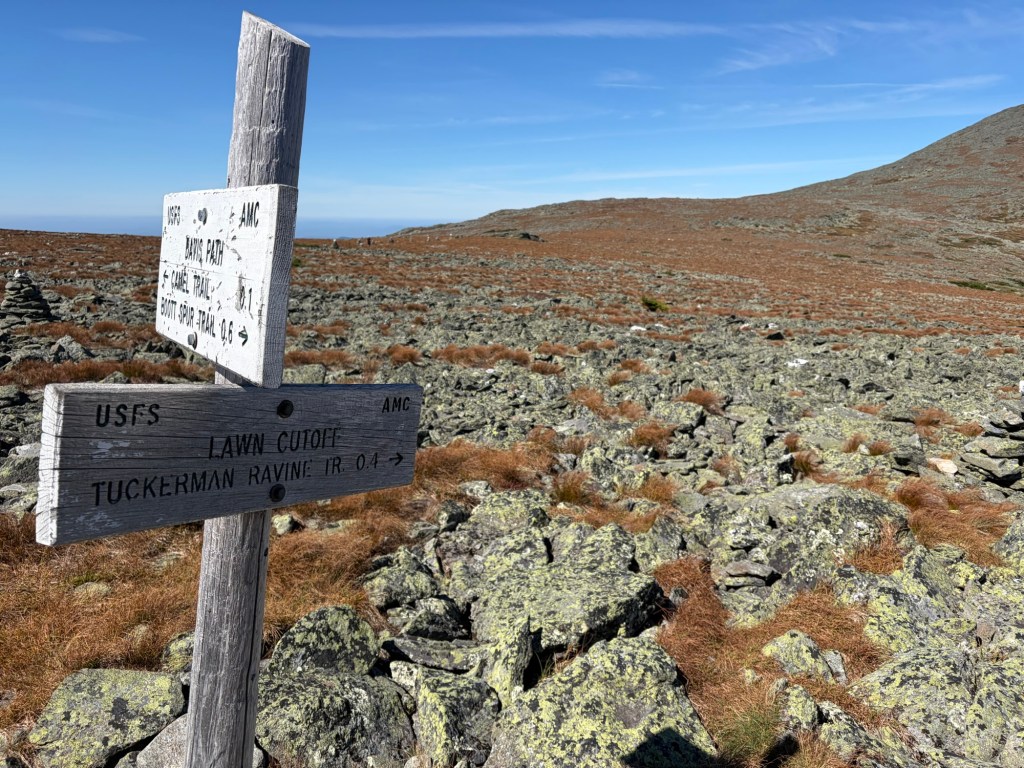
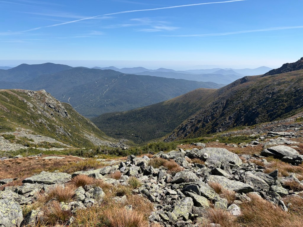
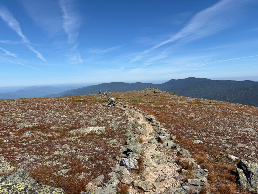
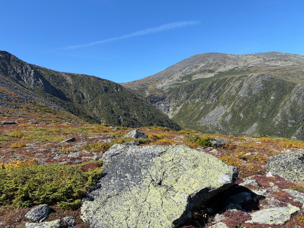
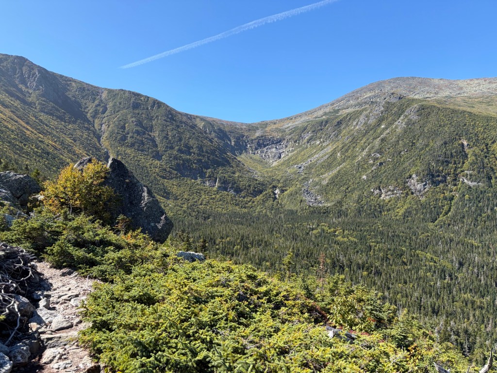
The view of Tuckerman Ravine from the Tuckerman Ravine Trail. The Davis Path, on which we’ll continue, is a faint line going up the other side. We also took that trail when we did Isolation via the Ammonoosuc Trail a couple weeks prior.The view looking West. Mt. Monroe is in the foreground, with Lake of the Clouds Hut at the base. Eisenhower’s rounded summit is beyond it, slightly to the right. Other 4,000-footers can be seen, including: Passaconaway, Whiteface, and the Tripyramids way in the distance on the left. Carrigain is in the center of the shot, with the Hancocks to the right of it. Willey, Field, and Tom are behind Eisenhower, and Bond is in the range beyond them.Looking back toward the summit and all the people.We just came from Washington. The Tuckerman Crossover is a cut-off to get to the Lakes of the Cloud Hut, but you can also get there via Camel Trail, which we took when we did Isolation. We’re taking the Lawn-cutoff over the Bigelow Lawn.Looking back at Washington. We’ve left people behind; most people will descend Washington via either the Lion’s Head Trail or Tuckerman Ravine, though the former is more popular for going down, and the latter for ascending.Finished the Lawn Cutoff to take the Davis Path.Another view of Tuckerman Ravine. Lion’s Head is on the left, while Boott Spur is on the right.
Now we had to decide what we were going to do. Our original plan was to get just Washington. Then we added on Isolation, another mountain we need for September and the second Grid. From this spot we would have about another 10 miles to go, which meant that we would likely get home by 8:30. This was unacceptable and would ruin our movie night; it sounded much better to get home by 5:30. While we struggled with this decision at first, later in the day we would pat each other on the back for making the wise choice.
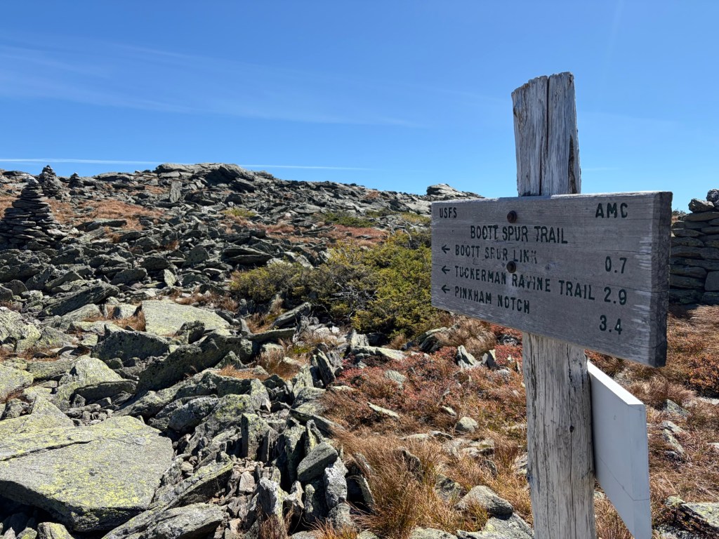
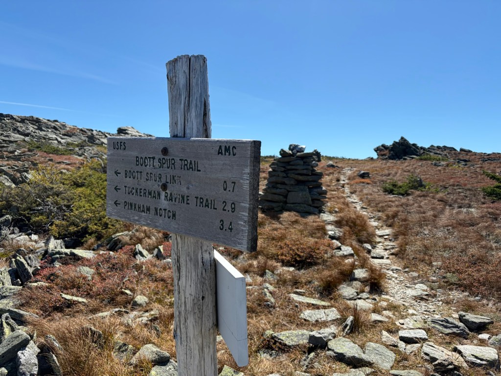
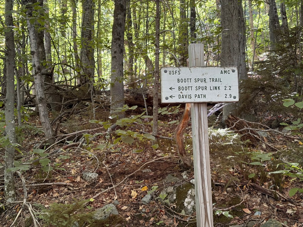
We went left onto Boott Spur Trail to descend. Going straight on Davis Path would have (eventually) gotten us to Mount Isolation.
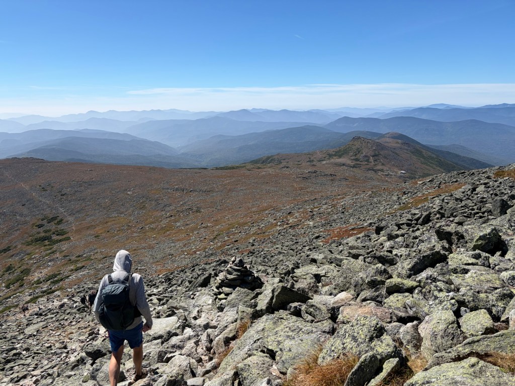
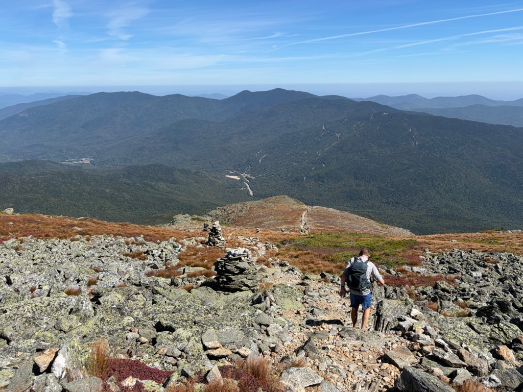
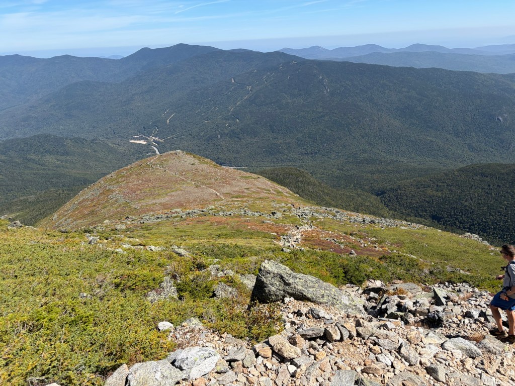
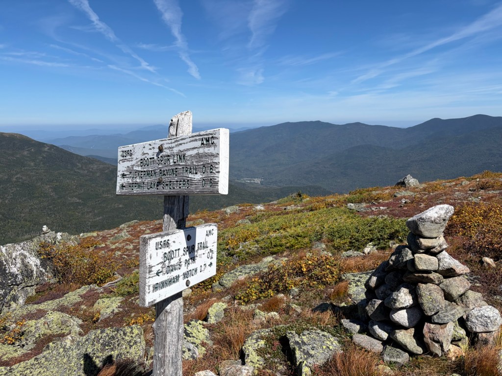
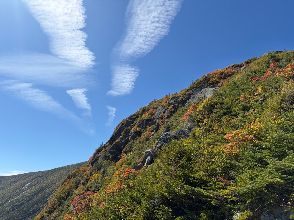
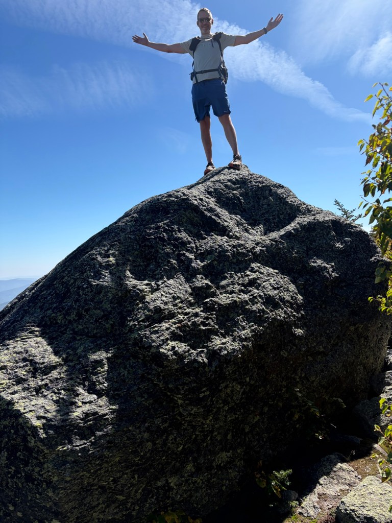
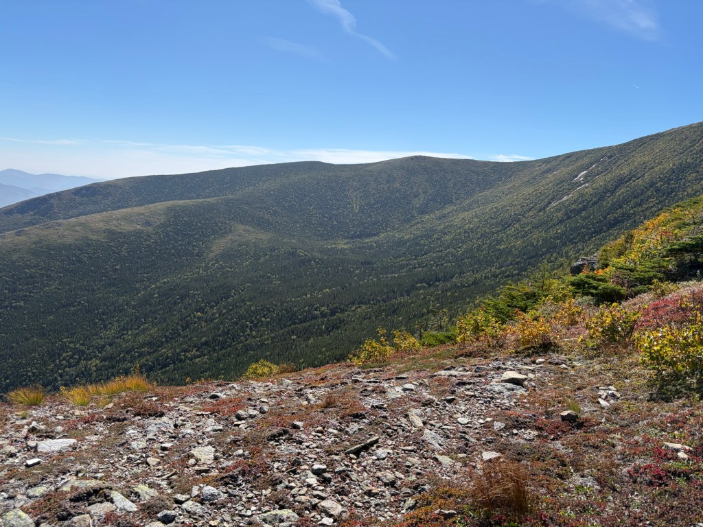
Starting down Boott SpurLooking south toward the Gulf of Slides and the Glen Boulder Trail.A close-up of the giant boulder on the Glen Boulder Trail.Looking up from which we came.It levels for a bit, but not for long.A different view of Tuckerman Ravine and Mt. Washington.The Boott Spur Link is a super steep way to get to the Tuckerman Ravine Trail and the Hermit Lake Shelter. It’s an option for escaping inclement weather.These contrails lingered in the sky for hours, indicating a change in weather. Sure enough, the next day was a rainy one.John was proud to climb the big boulder.The Gulf of SlidesAnother view of Tuckerman Ravine
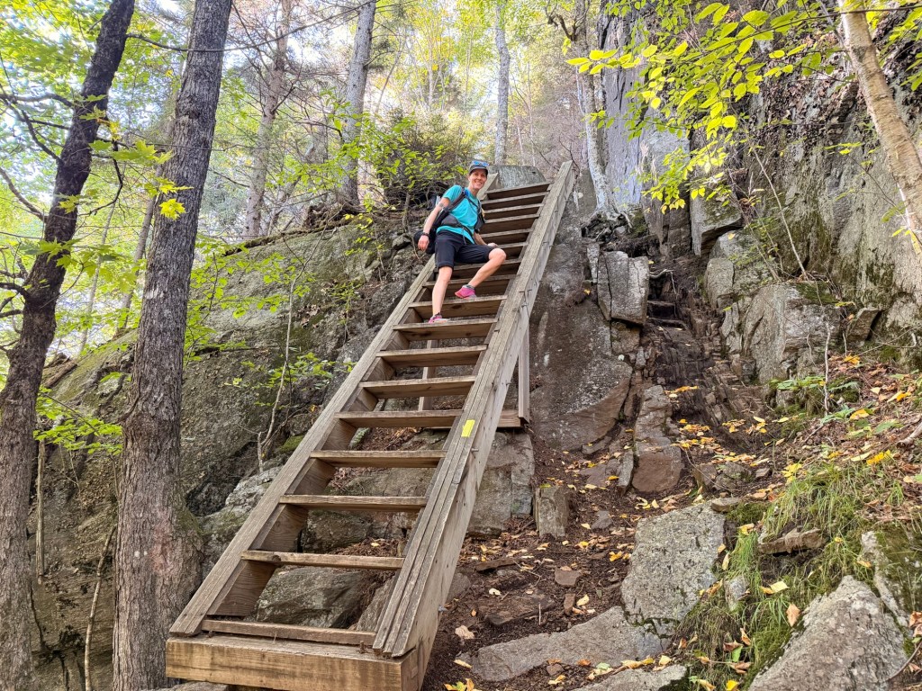
Like all trails to and from Washington, this one is steep and rugged. Our knees, quads, and ankles feel everything. Our legs start to feel like spaghetti. So happy we didn’t go for Isolation.
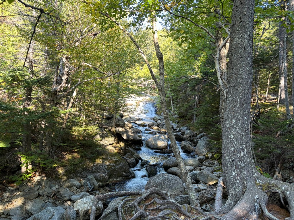
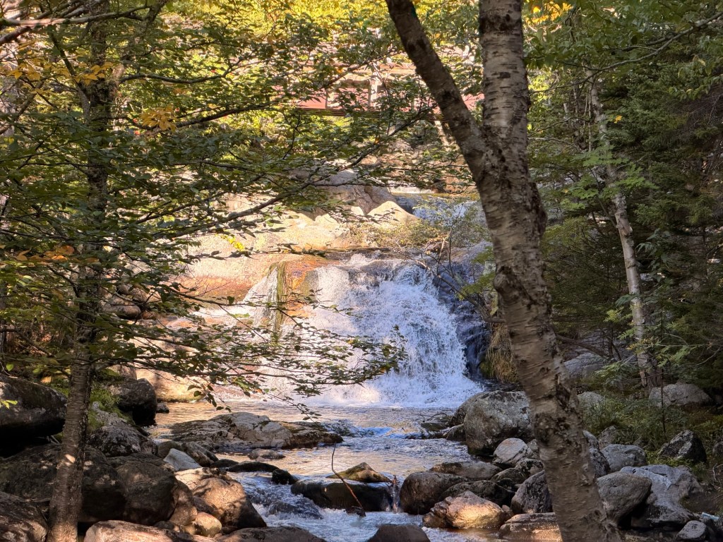
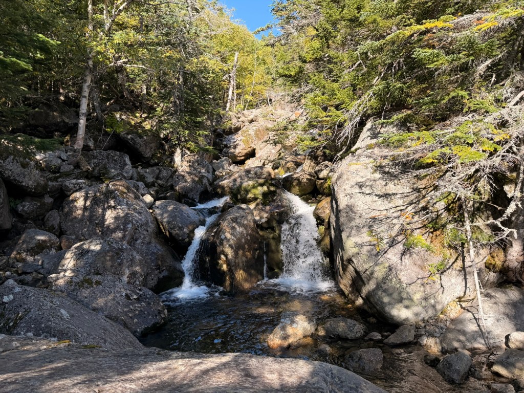
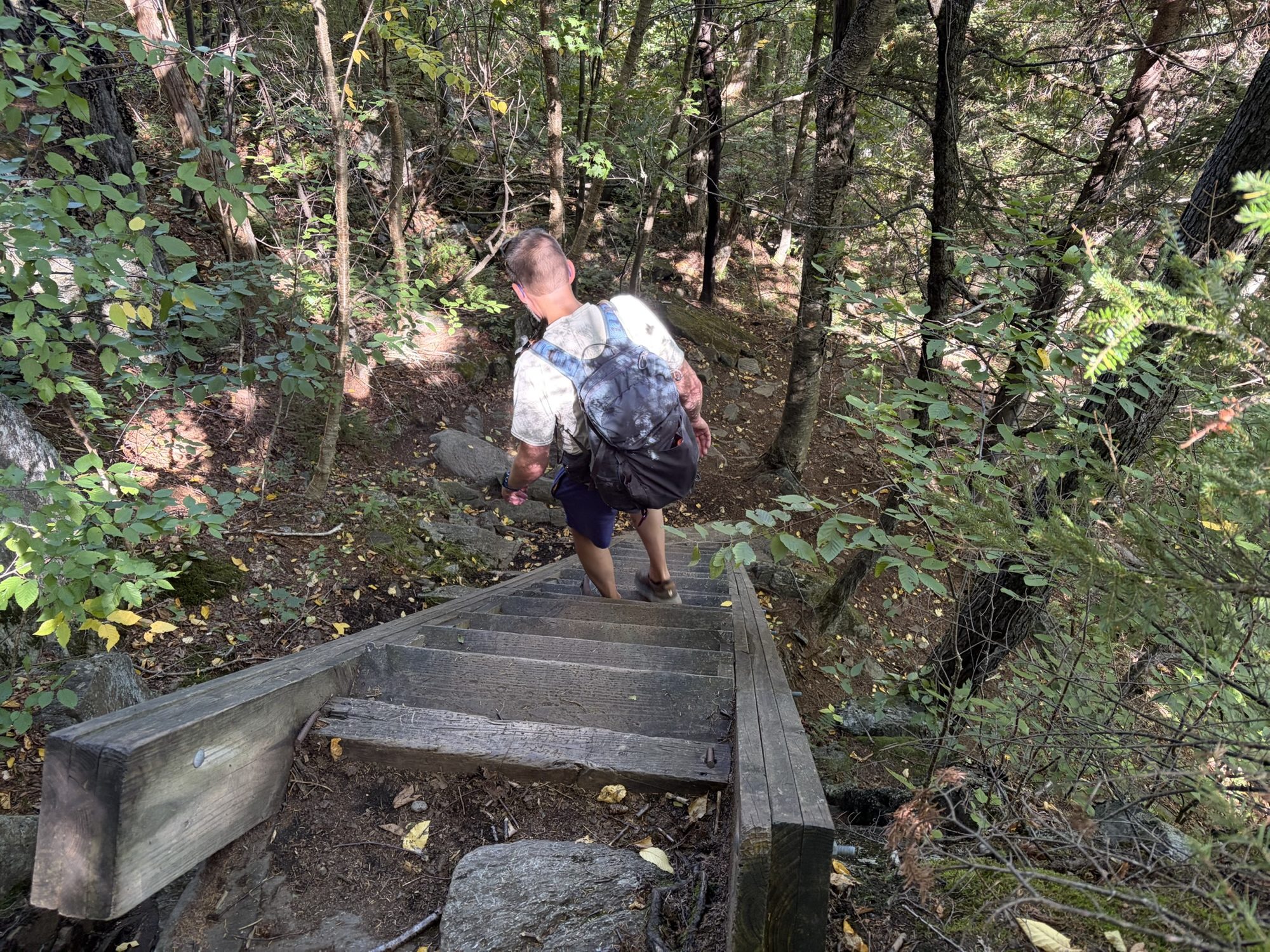
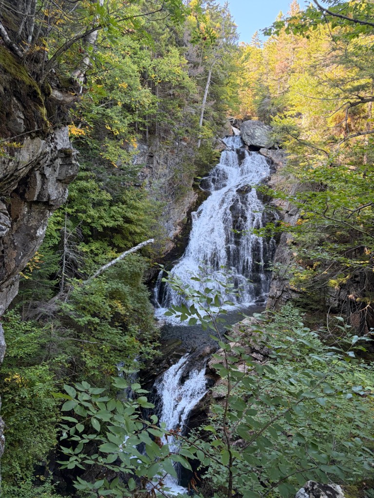
Boott Spur Trail joins the Tuckerman Ravine Trail with .4 miles to the trailhead. It goes quickly.Crystal Cascade. We decided to skip this on the way up because of all the people. At the end of our hike, we were the only ones there. When we got our first glimpses, our reactions were the same: mouths agape.