NH White Mountains: Mt. Madison & Mt. Adams via Howker Ridge
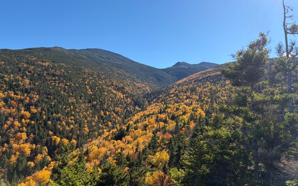
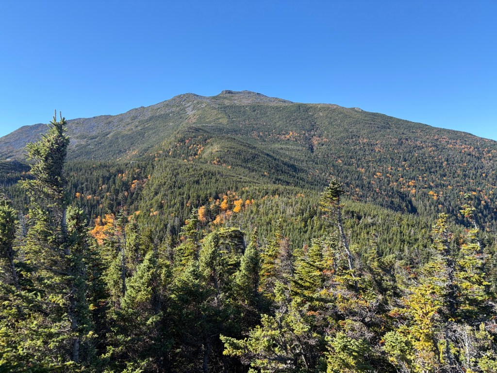
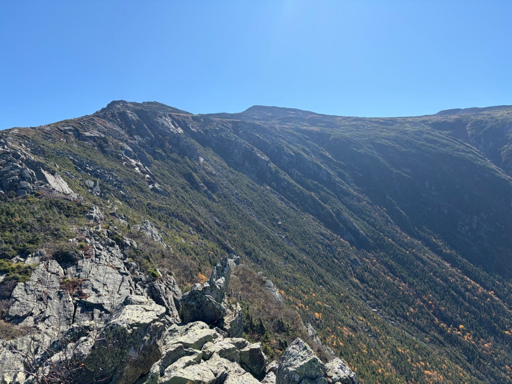
View of Mt. Madison and Mt. Adams from Scar Loop Trail
Saturday, October 3, 2026
It was a perfect day for us to get these two peaks in the northern Presidental Range, where the weather is notorious for changing quickly and, sometimes, dangerously. On this day, we enjoyed light winds, cool temperatures, blue-bird skies, and peak fall foliage.
We had yet to do all of Howker Ridge together, so that’s the trail we chose. Howks are mini peaks and can trick hikers into thinking that they’re “almost there”, only to be heart-broken when they reach the top of a howk and either see the next howk or the actual summit of Madison. That’s what happened to me the first time I hiked this trail. I was mentally prepared this time.
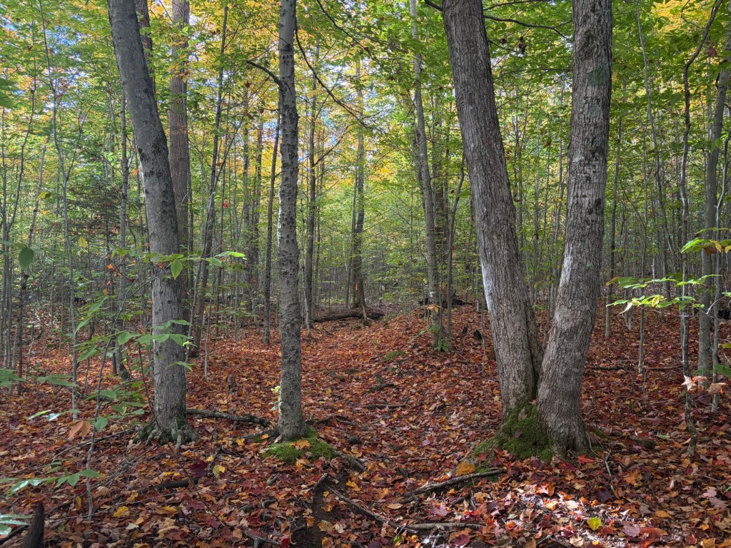
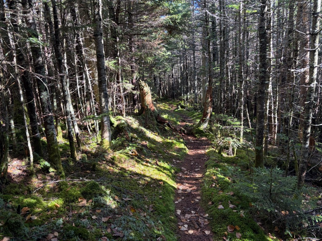
Leaves are already blanketing the trail. This is treacherous and covers slick roots and rocks.
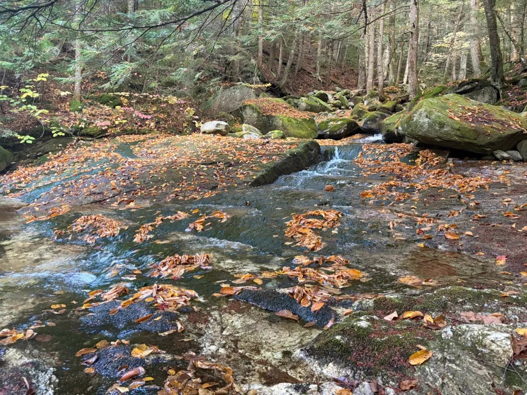
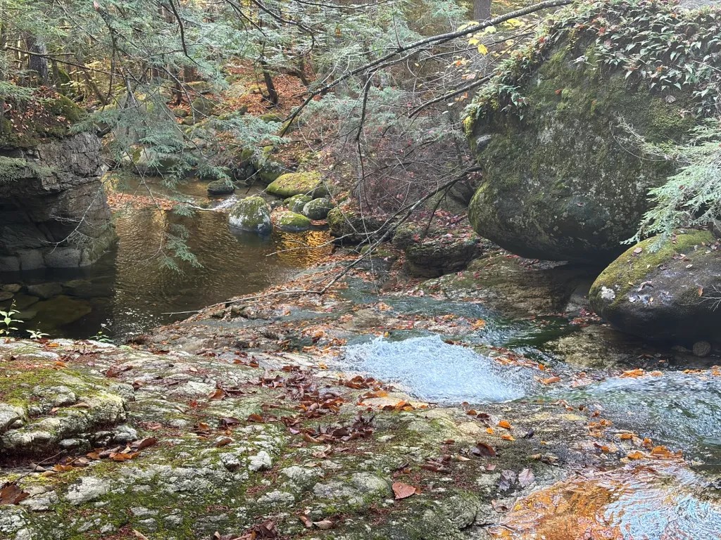
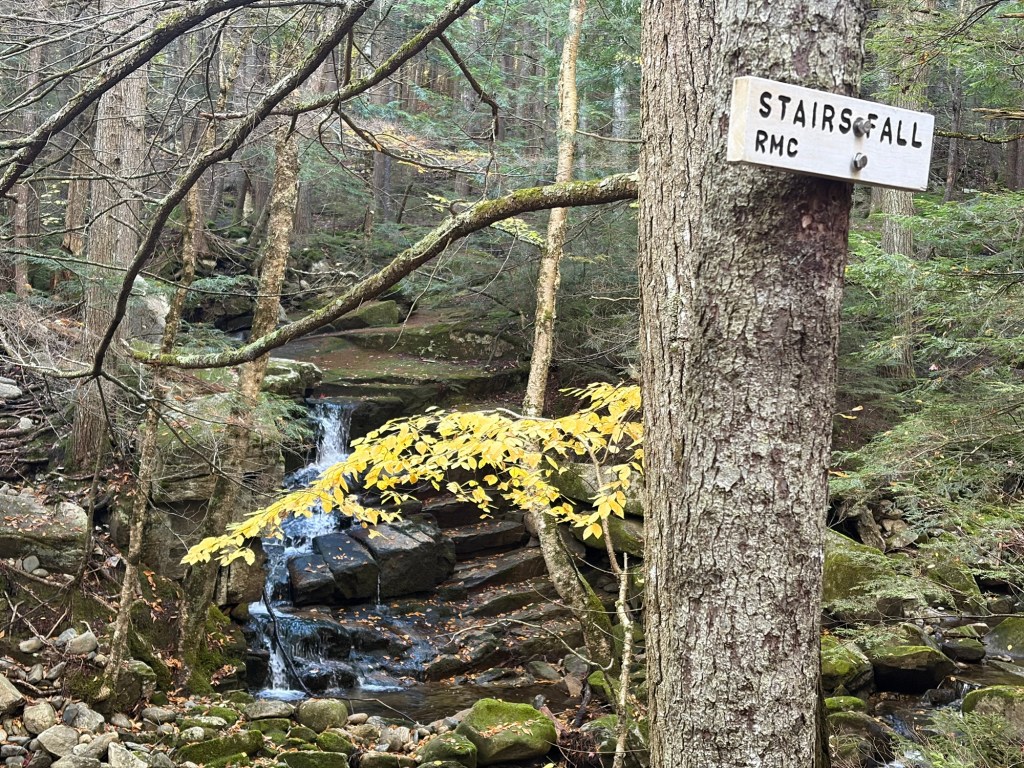
The trail follows along Bumpus Brook, passing Coosauc Fall and Stairs Fall until crossing at Hitchcock Fall to start climbing Blueberry Ridge.
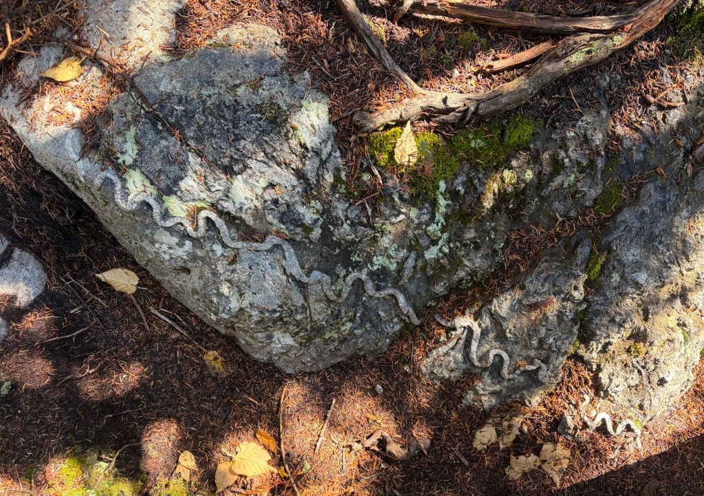
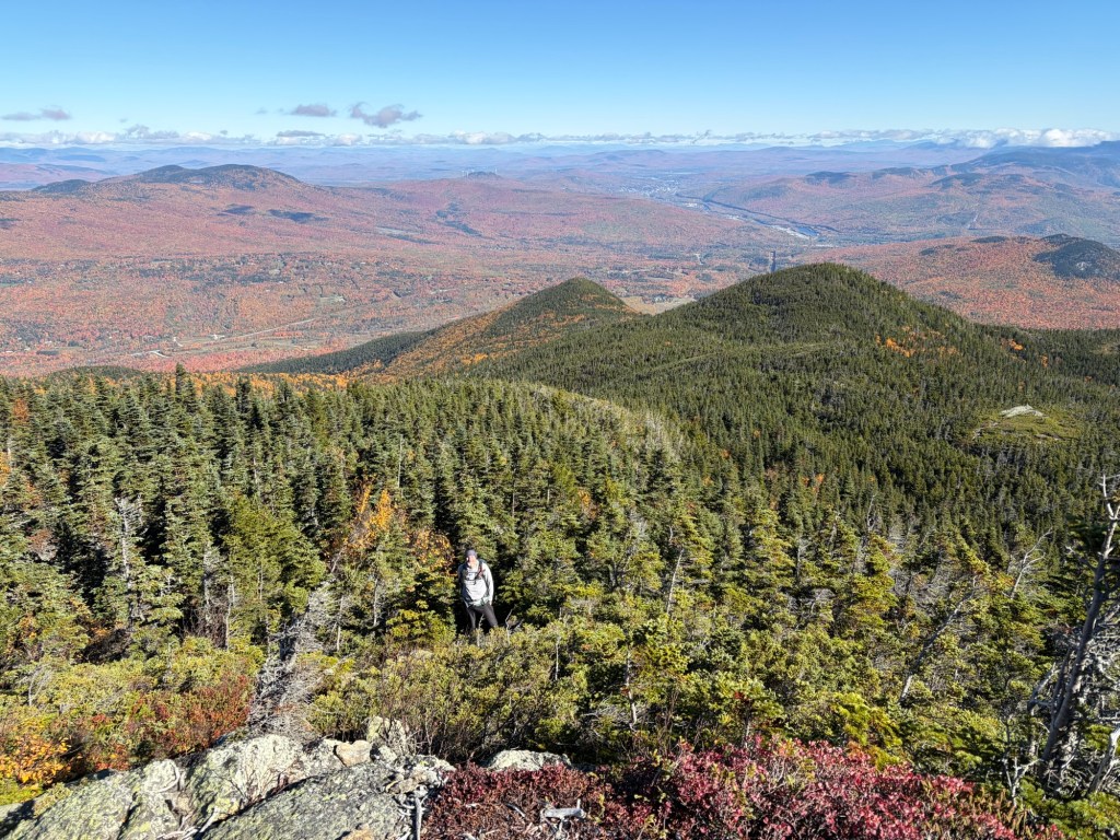
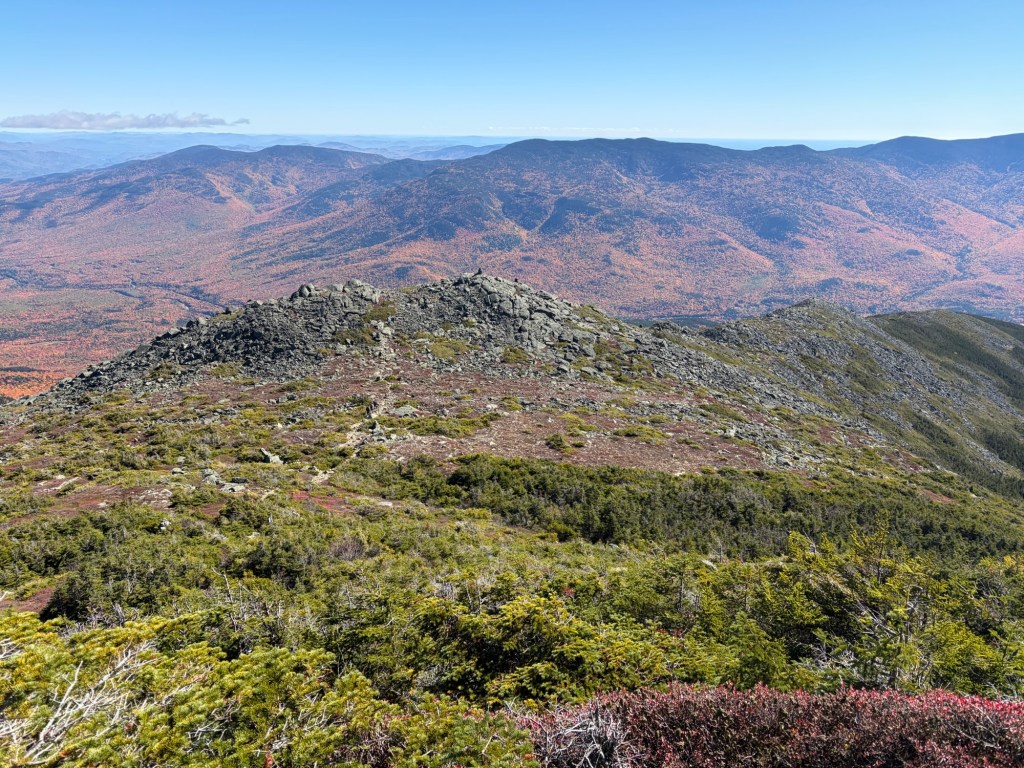
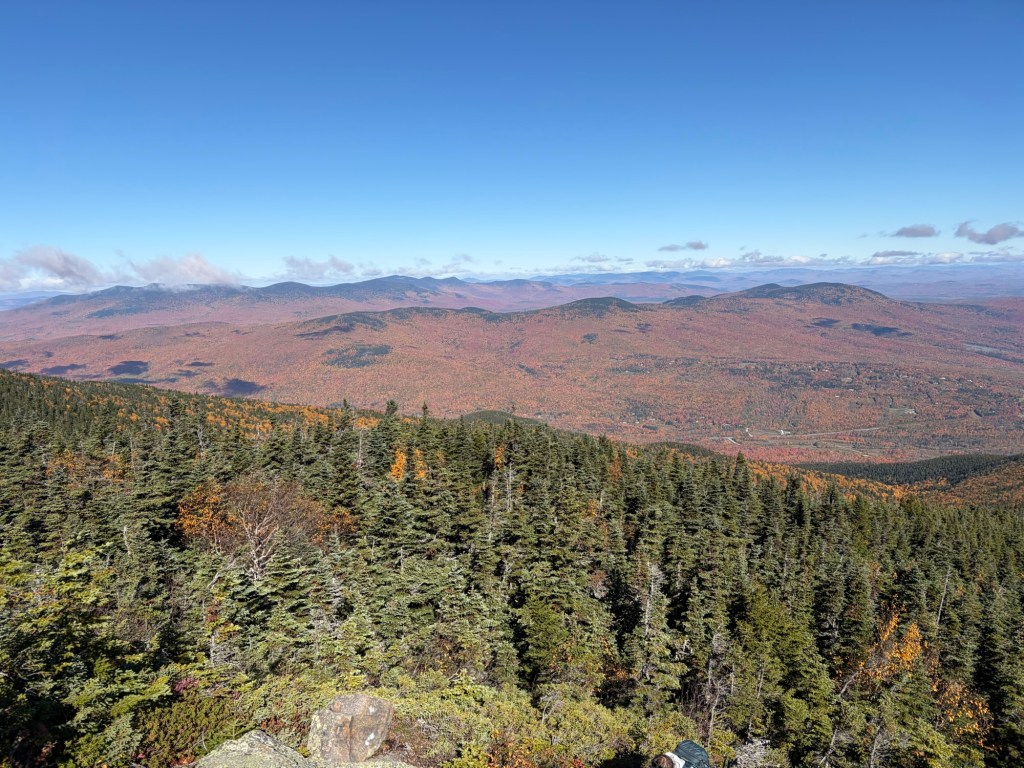
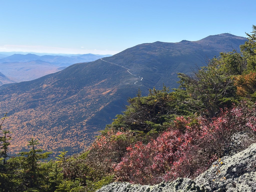
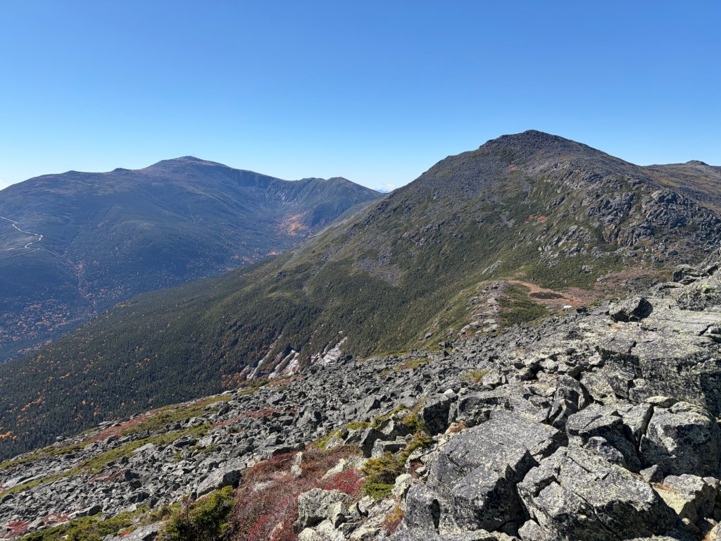
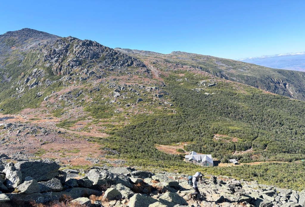
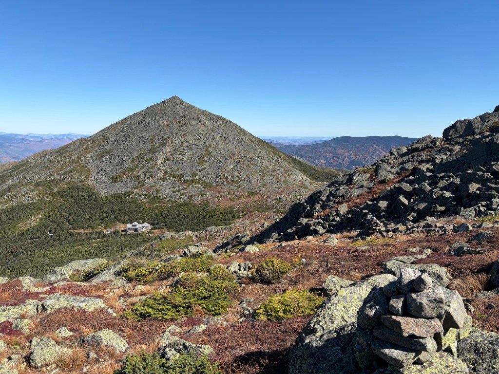
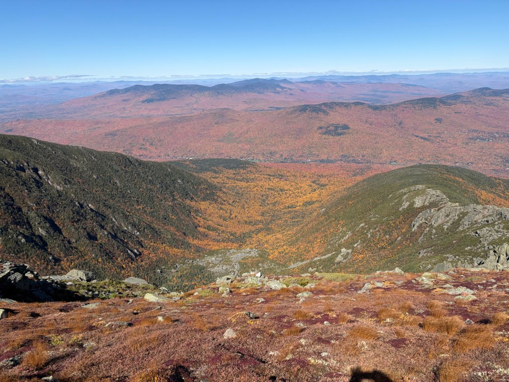
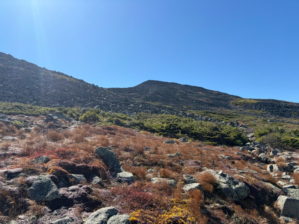
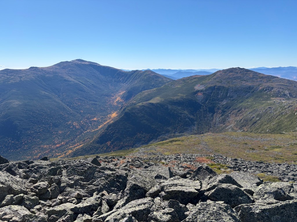
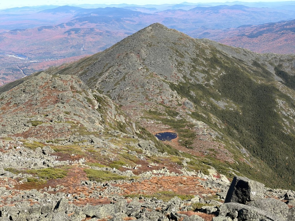
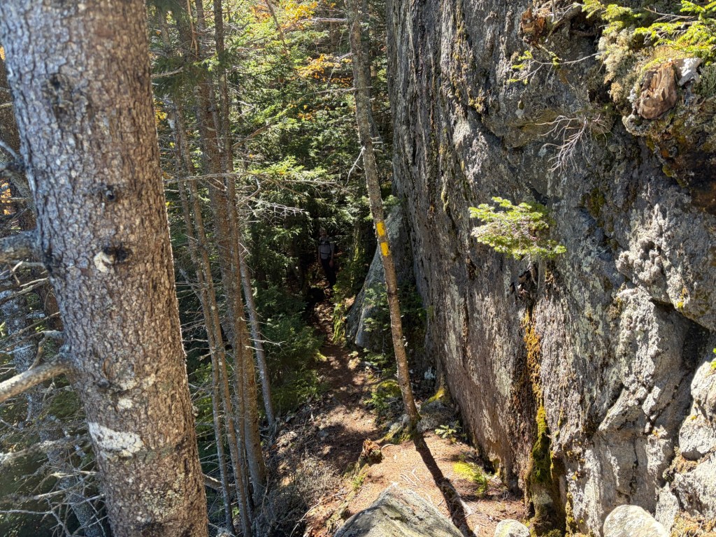
The first clear view of Madison from a Howk. A faint trail clues you in to what’s in store for us.Any geologist reading this: Please explain this to me!On another Howk, looking back. The Crescent Range is visible on the right. Rt. 16 going through Gorham, then Berlin is in view in the distance.A great view of the Carter Moriah Range, our hike planned for next week.The Crescent Range behind the town of Randolph. The Pliny Range/Kilkenney Traverse in the distance on the left.The Auto Road snaking up Mt. WashingtonOn the summit of Mt. Madison. Surprisingly, there was only one other person when we got there. Mt. Adams is on the right and Mt. Washington is on the left.Heading down Madison’s rock pile toward Madison Hut.On the Gulfside Trail, looking back at Mt. Madison.Kings Ravine, resplendent with orange foliage. Looking towards Mt. Adams.On the summit of Adams, looking west/southwest. Mt. Jefferson is on the right with a clear view of Jefferson Ravine. Mt. Washington and the Great Gulf Wilderness is on the left.Looking at Madison, Star Lake, and the Madison Gulf.
We were not going to descend the way we came; that would be craziness. Instead, we took Airline to Scar Trail, which eventually joins Valley Way, until we divert right onto Randolph Trail for 1.5 miles to our car.
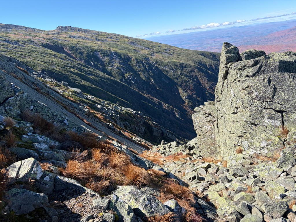
Kings RavineFrom Airline, looking back at Mt. Adams.Back in the woods.We opted for the northern section of Scar Loop, which has the perfect view of both Madison and Adams and stunning foliage (first photo of the post). Eventually it reconnects with Scar Trail. Then it’s a short hike down to Valley Way. This is the final fun section of the loop.